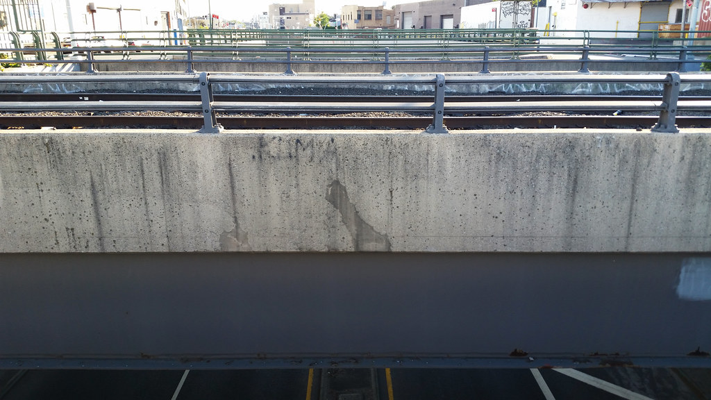
This is an odd spot on the NYC street map. The Lower Montauk Branch of the Long Island Rail Road, in the foreground, passes over the through lanes of Flushing Avenue, at bottom, while the local lanes of Flushing Avenue, on the upper level, terminate on either side of the Lower Montauk tracks. If you're not following my unintelligible description of what's going on here, this aerial view should prove much more elucidating.
Day 1331
The upper Lower
August 22nd, 2015


I just happen to love aerial views that prove much more elucidating !
Yes, you are correct Matt, I was elucidated by the aerial view