


This apostrophe-less road in Great Kills Park runs along Crooke's Neck (the peninsula) to Crooke's Point (the tip of the peninsula). Around the 1930s or '40s, Crooke's Neck was filled in with dredged sand from Great Kills Harbor so that Crooke's Point could be easily accessed from mainland Staten Island. You can see the area's transformation by comparing aerial photos from 1924 and 1951.


at Great Kills Park, part of Gateway National Recreation Area. Much of Great Kills is former marshland that was turned into recreational parkland with the addition of 15 million cubic yards of fill in the 1940s. (Compare aerial views from 1924 and 1996 to see the area's radical transformation. The peninsular part of the park was created separately, from dredged sand.) Over the past decade, much of the fill, which contained medical and sanitary waste, has been discovered to be radioactive. About half of the park is now closed off as a result (map), and a lengthy cleanup will be required before it can be opened to the public again.
Heading to Staten Island. That's Governors Island on the left, Jersey City on the right, and the Statue of Liberty straight ahead.

On the way to the Staten Island Ferry this morning, I passed the Storefront for Art and Architecture, shrink-wrapped for winter.
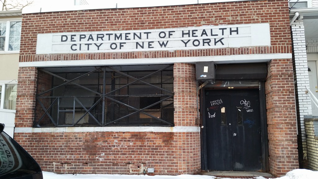
As of 1938, this building was a Baby Health Station.
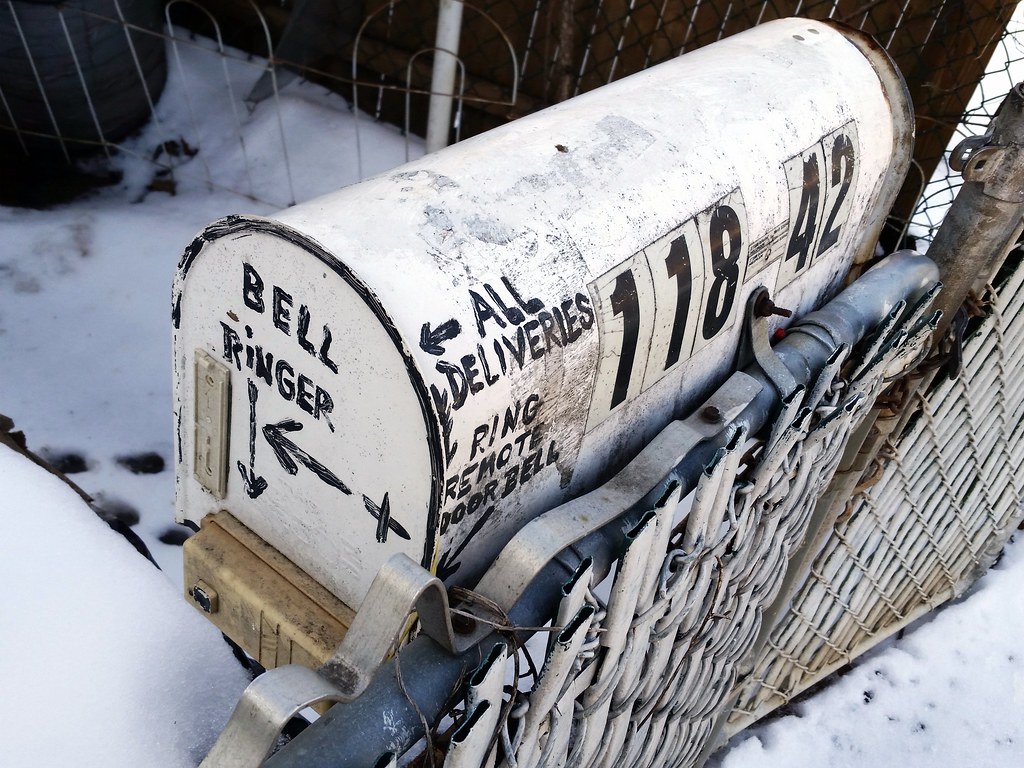
Also: FATSO! FATSO! FATSO

This is the largest cluster of suspended shoes I've seen in Queens thus far. 213th Street in Manhattan still holds the citywide lead, however.

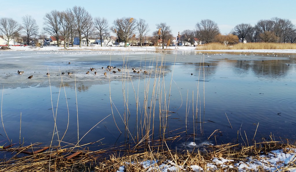
Originally a dammed mill pond created in the 1700s, Baisley Pond was acquired in 1852 by the then-independent city of Brooklyn for use as a municipal water source. In 1858, as workers were cleaning out vegetation and peat from the bottom of the pond, they found teeth and bone fragments from a mastodon — the first documented discovery of mastodon remains in what is now New York City.
I'm walking every street in New York City.
This is the counterpoint to my walk across the US. Instead of seeing a million places for just a minute each, I'm going to spend a million minutes exploring just one place. By the time I finish walking every block of every street in all five boroughs, I'll have traveled more than 8,000 miles on foot — all within a single city. Details!
Email me at matt@imjustwalkin.com
Subscribe to my email list
Maps: Progress | Photos

~9,954 miles walked
Your donations allow me to keep walking full-time. If you think what I'm doing is valuable and you'd like to offer some support, I would be very grateful. On the other hand, if you think I'm a worthless bum, feel free to email me and tell me to get a job, bozo. Both are excellent options!
