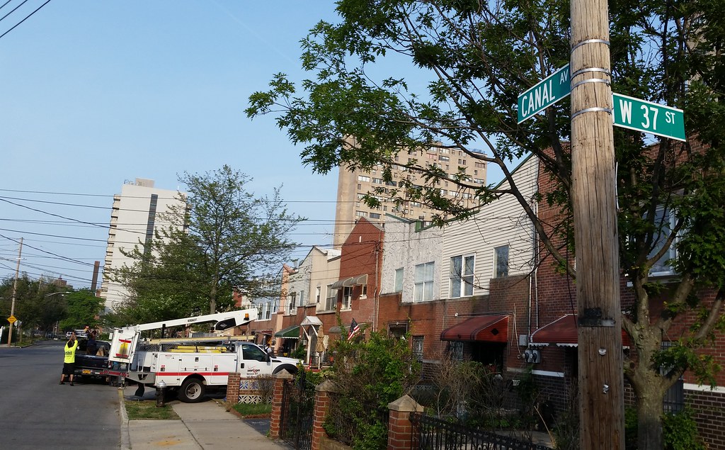
This street is named for the Gravesend Ship Canal, also known as the Coney Island Ship Canal. A noteworthy feature of this canal is that it never existed.
By the late 1800s*, and continuing on through the late 1920s, there were plans to turn the meandering waters of Coney Island Creek into a straight, navigable channel connecting Gravesend Bay and Sheepshead Bay. Maps from that era show the proposed canal flanked by a pair of roadways named Canal Avenue running along its north and south banks.
While the canal never ended up getting built, a few blocks of the southern Canal Avenue were constructed here (1951 aerial view). About one and a half of those blocks remain today (2012 aerial view), still bearing their historically misleading name. There's also one short block named Canal Avenue (formerly two blocks) about a mile east of here, although it's a few hundred feet north of where the proposed northern Canal Avenue appears in the maps linked above.
* The canal can be seen in this map from 1895. This 1879 map makes no mention of the canal itself, but it shows a proposed Canal Avenue.
I'm walking every street in New York City.
This is the counterpoint to my walk across the US. Instead of seeing a million places for just a minute each, I'm going to spend a million minutes exploring just one place. By the time I finish walking every block of every street in all five boroughs, I'll have traveled more than 8,000 miles on foot — all within a single city. Details!
Email me at matt@imjustwalkin.com
Subscribe to my email list
Maps: Progress | Photos
Your donations allow me to keep walking full-time. If you think what I'm doing is valuable and you'd like to offer some support, I would be very grateful. On the other hand, if you think I'm a worthless bum, feel free to email me and tell me to get a job, bozo. Both are excellent options!


