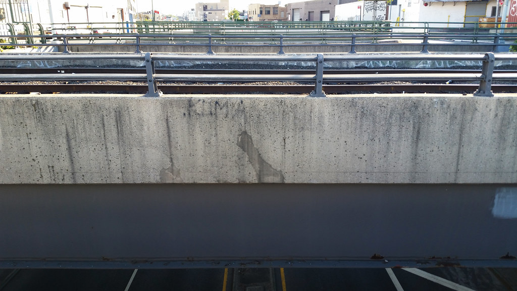
This is an odd spot on the NYC street map. The Lower Montauk Branch of the Long Island Rail Road, in the foreground, passes over the through lanes of Flushing Avenue, at bottom, while the local lanes of Flushing Avenue, on the upper level, terminate on either side of the Lower Montauk tracks. If you're not following my unintelligible description of what's going on here, this aerial view should prove much more elucidating.
I'm walking every street in New York City.
This is the counterpoint to my walk across the US. Instead of seeing a million places for just a minute each, I'm going to spend a million minutes exploring just one place. By the time I finish walking every block of every street in all five boroughs, I'll have traveled more than 8,000 miles on foot — all within a single city. Details!
Email me at matt@imjustwalkin.com
Subscribe to my email list
Maps: Progress | Photos
Your donations allow me to keep walking full-time. If you think what I'm doing is valuable and you'd like to offer some support, I would be very grateful. On the other hand, if you think I'm a worthless bum, feel free to email me and tell me to get a job, bozo. Both are excellent options!


I just happen to love aerial views that prove much more elucidating !
Yes, you are correct Matt, I was elucidated by the aerial view