

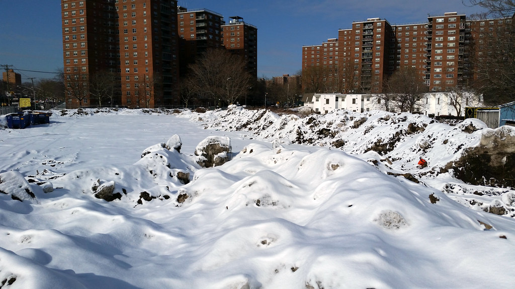
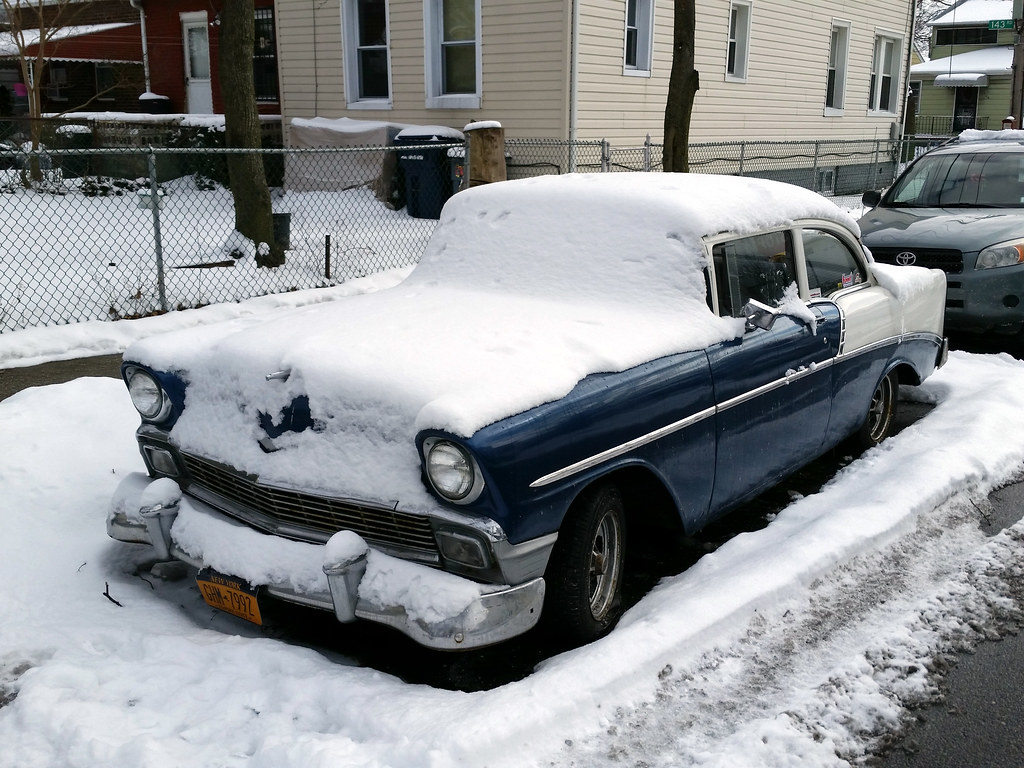
This lot appears to be Rochdale Village's "snow farm". Compare to those of Boston (more) and Buffalo (more).
ABCDEFGH
IJKLMNOP
QRSTUVWX
YZABCDEF
GHIJKLMN
OPQRSTUV
WXYZABCD
EFGHIJKL
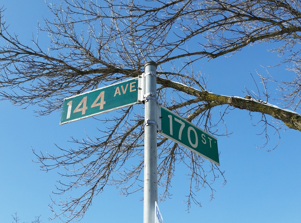
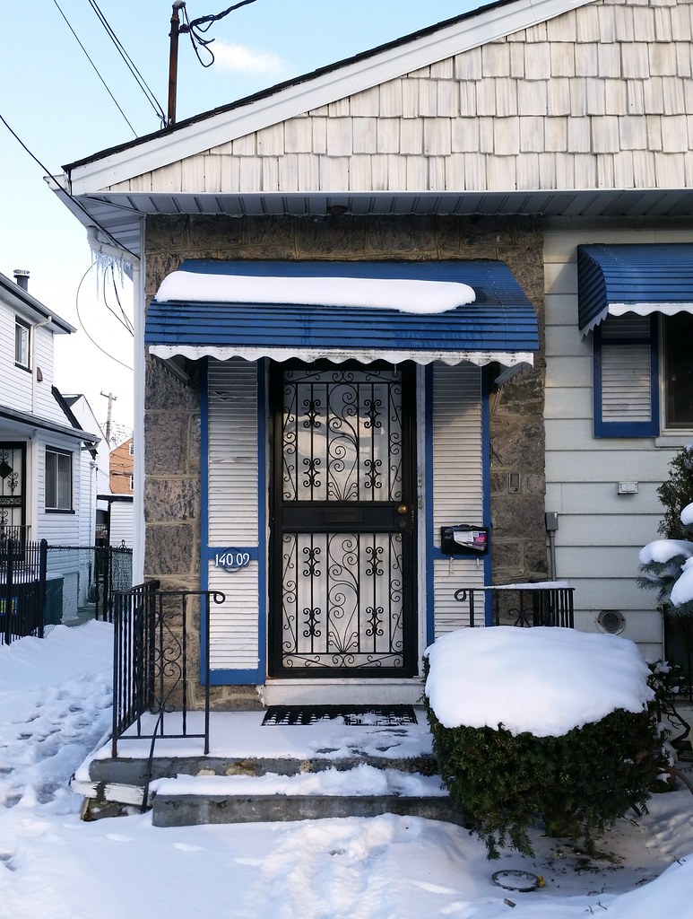
It's quite unusual to see Avenue abbreviated as AVE instead of AV on an NYC street sign, but I spotted a few older-looking AVE signs in the area today: the one above and a couple of others on 140th Avenue.
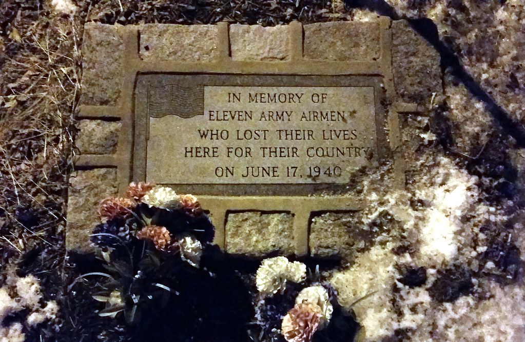
On June 17, 1940, two B-18 bombers from Mitchel Field collided in the air above Bellerose, Queens. The planes plummeted to the streets below, killing all eleven crew members and one woman whose house was set on fire by flaming gasoline. One of the deceased airmen was Hugh Palmer Bedient, whose father, Hugh Carpenter Bedient, had achieved some measure of fame as a baseball player by striking out a record 42 batters in a 23-inning semipro game in 1908 and by outdueling Christy Mathewson in the 1912 World Series.
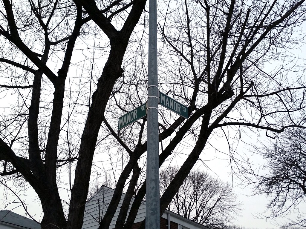
Because sometimes it's too hard to come up with a new street name (map).
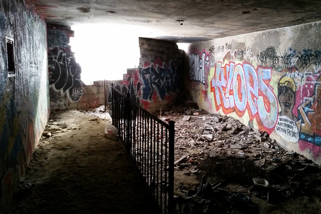
There was once a path — for both horses and pedestrians, apparently — that ran beside the Grand Central Parkway between Cunningham Park and Alley Pond Park. What you see above is an underpass built to carry the path beneath Union Turnpike. The path is now long gone, and this underpass was sealed off at some point (as was another beneath nearby Springfield Boulevard), but both ends of the underpass have since been broken open. In addition to what remains inside the underpass, some of the path's old railings can be found in the woods outside.
You can see the path in this 1951 aerial view running just to the northwest of the parkway. The underpass beneath Union Turnpike is visible in the middle of the image. For comparison's sake, here's a 2010 aerial view of the same area (with the roadways labeled).
I'm walking every street in New York City.
This is the counterpoint to my walk across the US. Instead of seeing a million places for just a minute each, I'm going to spend a million minutes exploring just one place. By the time I finish walking every block of every street in all five boroughs, I'll have traveled more than 8,000 miles on foot — all within a single city. Details!
Email me at matt@imjustwalkin.com
Subscribe to my email list
Maps: Progress | Photos

~9,954 miles walked
Your donations allow me to keep walking full-time. If you think what I'm doing is valuable and you'd like to offer some support, I would be very grateful. On the other hand, if you think I'm a worthless bum, feel free to email me and tell me to get a job, bozo. Both are excellent options!
