

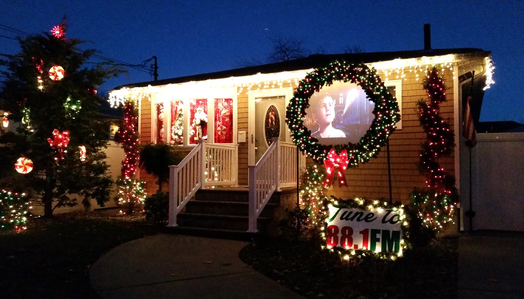
Welcome to the LoBraico family theater. Just pull up to the curb and tune your radio to 88.1 FM. Now playing: The Polar Express.
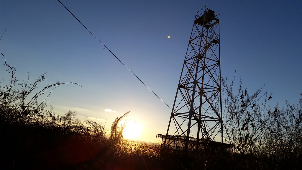
This marshside beacon (bird's eye view) serves as the front range light for the Swash Channel in Lower New York Bay. (The rear range light is located farther inland and at a higher elevation. When the two lights are aligned from a ship's point of view, that means the ship is correctly lined up with the channel and can safely proceed through it. Here's an example of what two aligned range lights look like.) The Elm Tree Lighthouse (which we saw earlier today) and the New Dorp Lighthouse served as the front and rear range lights, respectively, for the channel until 1964, when the tower pictured above became the new front light and the stately Staten Island Lighthouse, which was already in use as the rear light for the heavily trafficked Ambrose Channel, had a second light added to it so it could also function as the rear light for the Swash Channel.
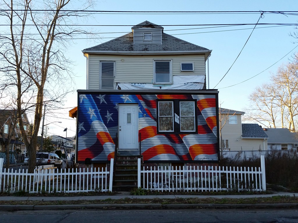
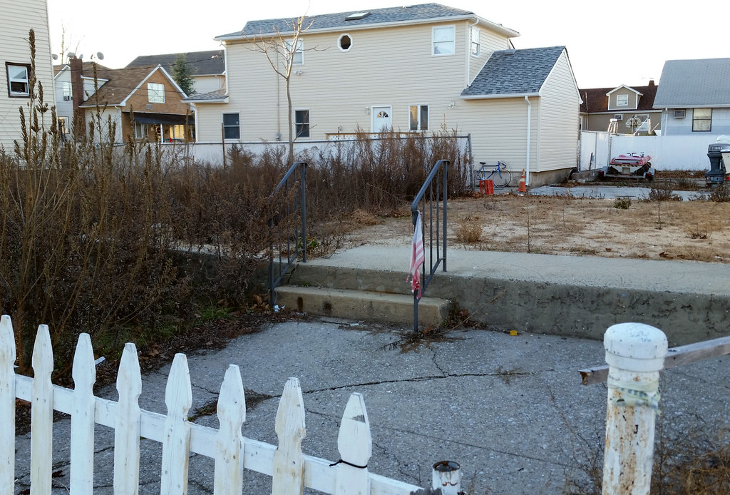
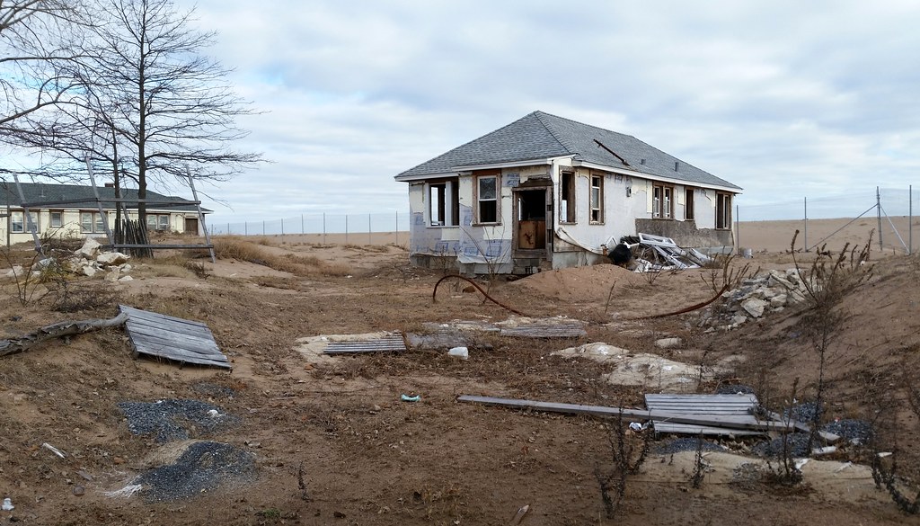
The house that once stood here was demolished after being wrecked by Hurricane Sandy. The owners of this property, Sheila and Dominic Traina, also lost other buildings in the neighborhood, including their own home at 67 Cedar Grove Avenue. A mini-controversy ensued when Allstate used footage of their destroyed house in a back-patting post-Sandy commercial even as the insurance company was denying the Trainas what they believed to be fair compensation for their losses. After the wreckage of the house was cleared, the flag-painting Staten Island artist Scott LoBaido installed a sculpture on the lot entitled Waiting, which "symbolize[d] the frustrating world of Island survivors of the storm. After lives lost, homes damaged or demolished, possessions ruined, most find themselves in a bureaucratic limbo, waiting for help that never seems to arrive."
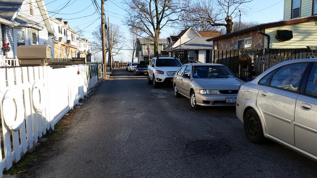
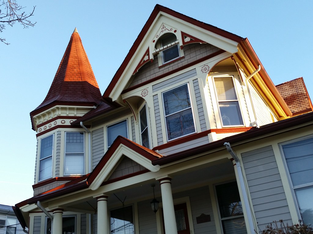
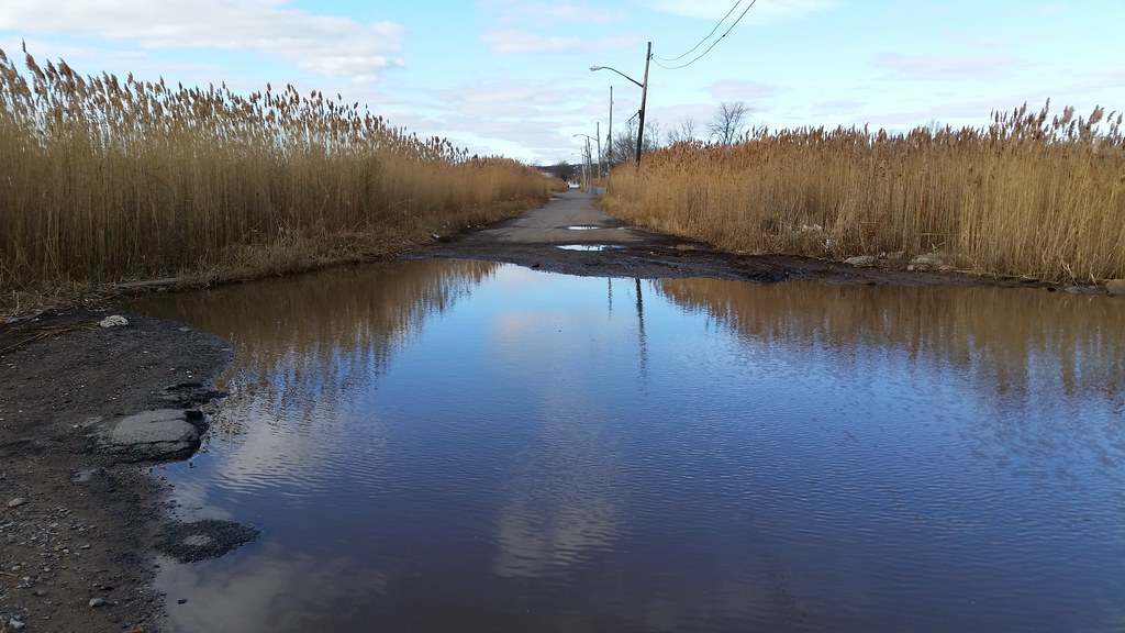
The narrow roadways in the surviving inland section of New Dorp Beach reflect the neighborhood's origins as a bungalow colony (Street View).
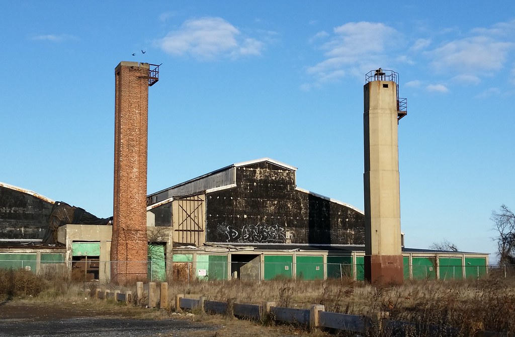
The old parachute drying tower (left) and Elm Tree Lighthouse at Miller Field
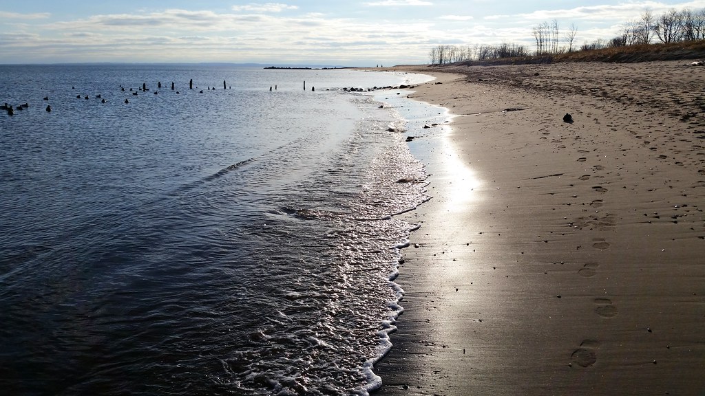
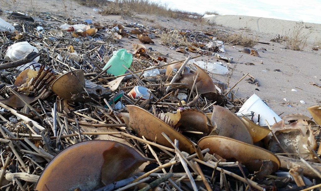
There were dozens of them strewn about the beach here.
This is the former site of the Cedar Grove Beach Club, a collection of cottages mostly built between 1907 and 1924 that was Staten Island's final beach bungalow colony and the city's final beachfront bungalow colony (with a few exceptions, the houses stood in a single line right on the beach).
Between 1958 and 1962, all the private property along the waterfront in this area was acquired by the city via eminent domain to make way for a proposed shorefront parkway that never ended up getting built. Most of the buildings on the condemned land were demolished, including, as we've learned, dozens of bungalows in neighboring New Dorp Beach, but the Cedar Grove bungalows were left intact. Having become city property, they were then rented back to the former owners, who continued spending their summers here. 22 of the houses had to be leveled after sustaining heavy damage during a nor'easter in 1992, but the other 42 remained as a seasonal getaway.
After the summer of 2010, the city ended its rental agreement with the residents, intending to bulldoze most of the buildings and open up better public access to the beach. The bungalows left standing, as many as seven of them, would be transformed into various park facilities. The two houses you see above are the only ones that ended up being spared (as evidenced by pre-Sandy aerial photos), and it appears that they are now going to be demolished as well because of damage from Hurricane Sandy. So long, Cedar Grove.
I'm walking every street in New York City.
This is the counterpoint to my walk across the US. Instead of seeing a million places for just a minute each, I'm going to spend a million minutes exploring just one place. By the time I finish walking every block of every street in all five boroughs, I'll have traveled more than 8,000 miles on foot — all within a single city. Details!
Email me at matt@imjustwalkin.com
Subscribe to my email list
Maps: Progress | Photos

~9,954 miles walked
Your donations allow me to keep walking full-time. If you think what I'm doing is valuable and you'd like to offer some support, I would be very grateful. On the other hand, if you think I'm a worthless bum, feel free to email me and tell me to get a job, bozo. Both are excellent options!
