
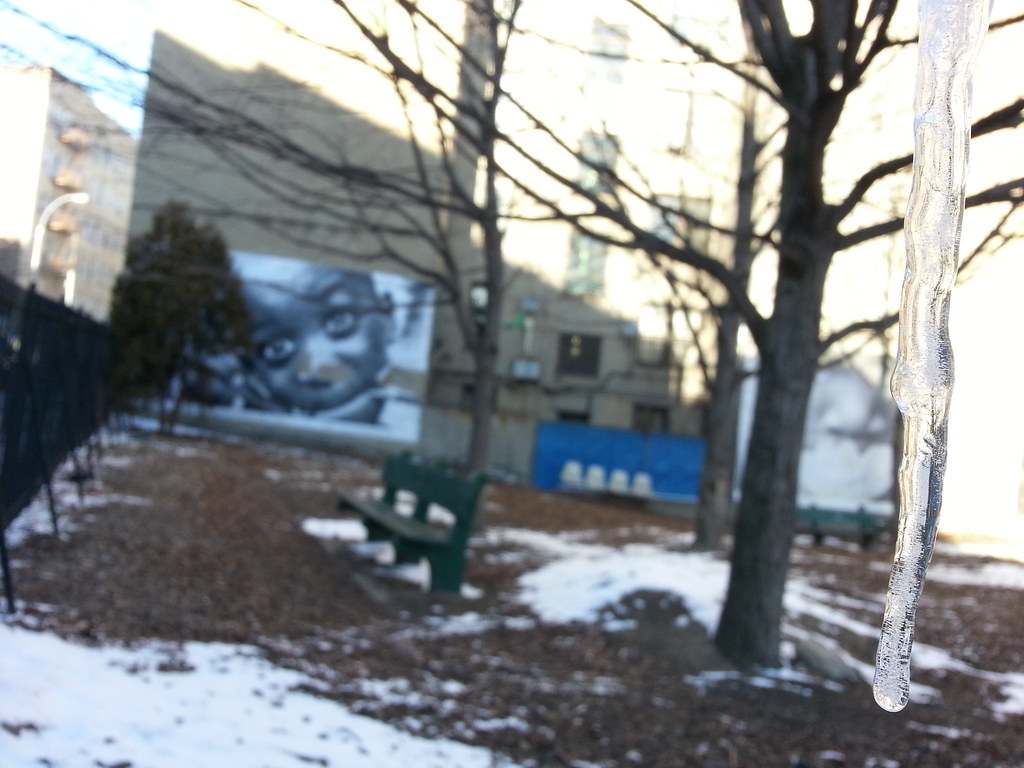
The large face in the background is part of JR's Inside Out project.

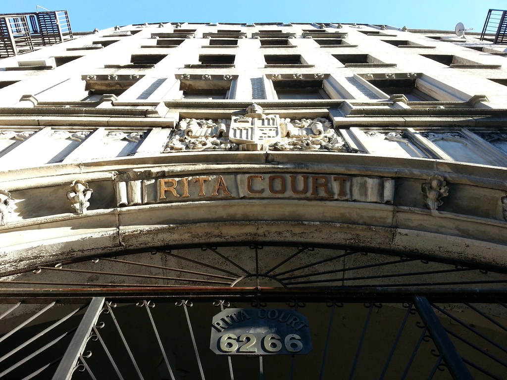
This Bronx version of the Flatiron Building was "for many years" the tallest building in the borough.

This gazebo replaced the old Zborowski mansion, demolished in 1938, that once stood here in Claremont Park. In his history of the Bronx, published in 1906, Randall Comfort reports (with an illustration):
The old lane that led from the Zborowski to the Stebbins Mansions did not run in a straight direction — far from it. It made a regular "U" of itself, so as to avoid what has recently puzzled engineers and contractors — the famous "Black Swamp." I had been told of the loss of a number of Mr. Zborowski's blooded cattle at night, and I have heard of school children who had occasion to pass this way, arriving at school with their clothing a mass of mud, but I was entirely unaware of the cause. Situated in the dense thickets behind Claremont Park, its name has clung to it, ever since the time of the Indians, who superstitiously regarded it as the resort of evil spirits. When the early settlers found to their dismay that its depths engulfed their cattle whenever they came near it, they carefully surrounded its area with a rough fence.In a chapter of a later work from the early 1920s, however, Mr. Comfort updates us on the situation: "Human persistence, backed by more thousands of tons of material, at last proved triumphant, and now Morris Avenue reigns supreme."
For many years, even centuries, it lay forgotten, until the city authorities sought to open Morris Avenue through this harmless looking pond. What, then, was the amazement of the contractor to find that 60,000 cubic yards of filling had suddenly sunk out of sight into the quiet surface of this remarkable pit! At last, however, the work seemed to bring good results and the earth was filled in to the required level. But next morning smiles were suddenly turned to dismay. Every particle of new earth had disappeared as if by magic into the mouth of the mysterious swamp! A party of expert engineers was hastily summoned, who gave the following report: "We find two thin ledges of hard, stony earth, the first ten, and the second sixty feet below the surface. Water fills the spaces between these ledges, while beneath the lower ledge is a deep cavity which the drills and measuring lines cannot fathom." It was the sudden collapsing of these ledges that caused the masses of filling to sink out of sight so unexpectedly.
Various are the explanations of this strange phenomenon. Some think there is a swift underground river emptying into the Harlem, a full mile away, or into Long Island Sound, three miles distant, which carries off with mighty force everything thrown into it. In South America there is a lake without any outlet, while one readily recalls the unaccountable mysteries of the Great Salt Lake, the Caspian and the Dead Seas. Subterranean human beings are fancifully described in Bulwer Lytton's novel, "The Coming Race," and Jules Verne in his "Journey to the Center of the Earth."

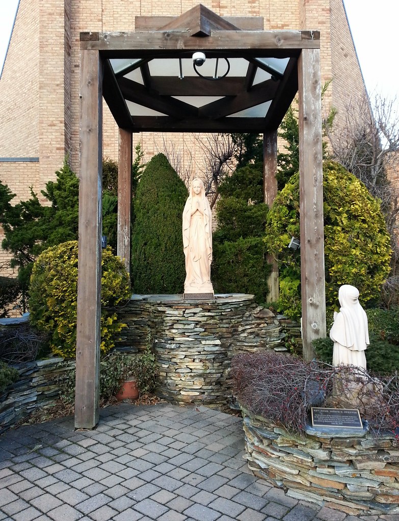
Not even Jesus and Mother Mary are immune to the plague of pooping pigeons.

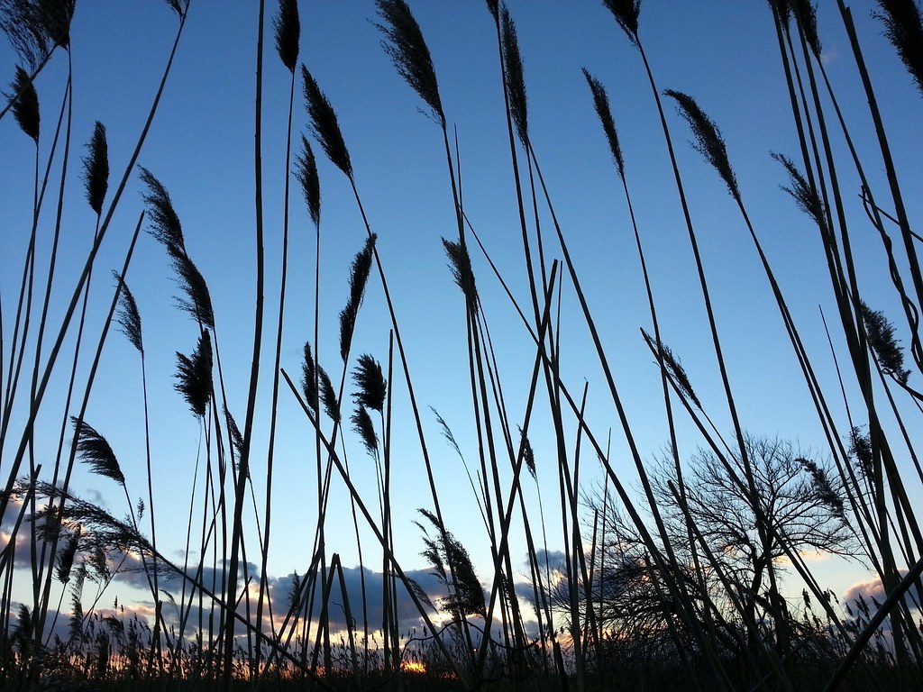
Perhaps you remember being here on a much warmer day back in April.
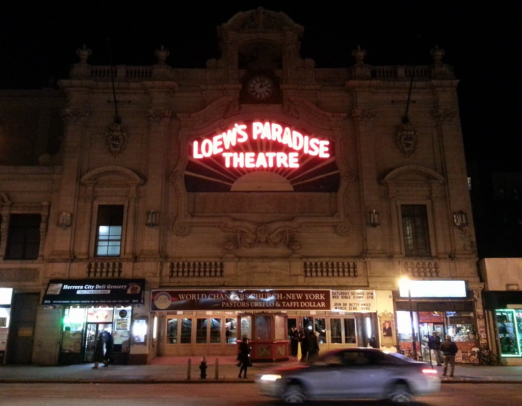
Here we are back at another old friend of ours. The last time we passed by, this old movie palace — built in the late 1920s "to take people out of their humdrum existence and bring them into a world of unimagined wealth and luxury" — was operating as a live entertainment venue, which meant that it was difficult to take a look inside without buying a ticket.
At the end of last year, however, the Paradise was leased to the World Changers megachurch, led by the controversial televangelist Creflo Dollar — he of the prosperity gospel — who holds twice-weekly services here. Meaning... you can now pop by any Wednesday or Saturday night and sneak a free peek at the theater's magnificent interior! I stuck my head in for a few minutes tonight; I wasn't allowed to take pictures during the service, but you can see some great shots of the place in the latter pages of this document.


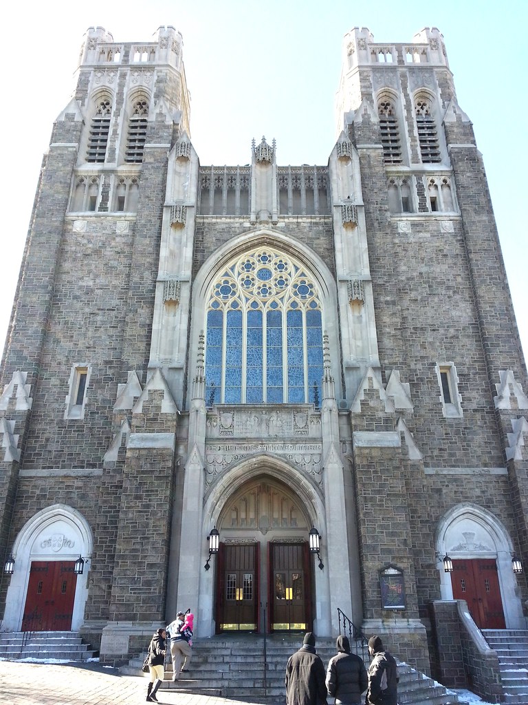
According to the AIA Guide to New York City, this is a "conservative granite ashlar neo-Gothic church from a time when exuberance in neo-Gothic matters had given way to solemnity." More photos here.


But they're not, because THAT'S ALL SALT.
(The hill is covered in actual snow, but 99% of the white stuff on the street, sidewalk, and stairs is salt.)
Con Ed's new Academy Substation, part of the M29 Transmission Line Project
on some giant feet.
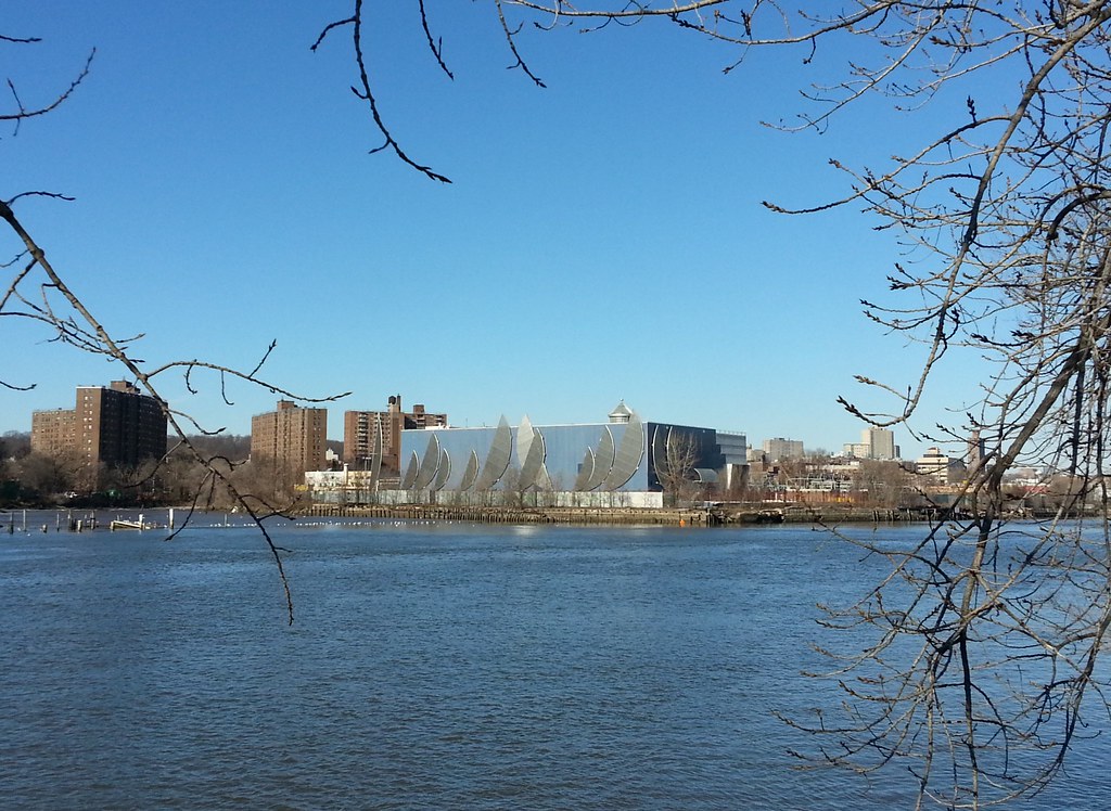
That's the Peter Jay Sharp Boathouse in the background of this view from Roberto Clemente State Park.

During the planning of the Croton Aqueduct in the 1830s, there was much debate over how the aqueduct should cross the Harlem River into Manhattan. There were three main alternatives being considered: a tunnel beneath the river; a low embankment crossing with a short arch span; and a substantial, high-level bridge. John B. Jervis, the chief engineer, favored the embankment and low bridge, as it would be the cheapest and easiest to build of the options. Many others, however, felt that this crossing should exude a grandeur befitting the monumental nature of the aqueduct.
Thanks to the timely heroics of our friend Lewis G. Morris, the State Legislature intervened in the process, passing a law that prohibited the new crossing from hindering ship traffic on the river, thus eliminating the embankment alternative from contention. Fearing uncertain, escalating construction costs, Jervis ruled out the tunnel option as well. And so it was decided that a stately series of high stone arches would carry the Croton water across the Harlem River in style.
The High Bridge finally opened in 1848, six years after the aqueduct, which used a temporary inverted siphon to cross the Harlem in the meantime. If you remember how to view those "Magic Eye" images, check out this stereograph of the bridge from 1859. After a pedestrian walkway was added on top of the bridge, well-attired promenaders would come from miles around to bask in the majestic views from high above the river.
While the aqueduct itself used only the force of gravity to deliver water to the city, pumping was necessary to fill the water tower visible in the photo above, along with a reservoir located near its base. The tower and reservoir were completed by 1872, providing the increased hydraulic head needed to serve the higher altitudes of Upper Manhattan.
Eventually a tunnel was drilled beneath the river, replacing the High Bridge as the conveyor of Croton water to Manhattan. In the 1920s, there was talk of demolishing the bridge, as its archways were proving too narrow for large ships to pass through. This proposal stirred protests among many, with Scientific American declaring that the bridge's destruction would constitute "an act of vandalism . . . without a precedent in the history of our country." A compromise was ultimately reached, and five of the masonry arches were replaced with the single steel span pictured above, improving navigation on the river while still preserving some of the bridge's original character. The High Bridge is generally claimed to be New York's oldest surviving bridge, but, as you now know, that's only partially true.
The pedestrian walkway was closed sometime in the 1960s or '70s, supposedly in response to people using it to throw things at boats passing below. The bridge has been left to deteriorate in the decades since, but, at long last, work is now underway to rehabilitate it and open it to pedestrians once again, albeit with an obnoxiously high safety fence obstructing the views.

That's the official name of the High Bridge. But you don't have to take my word for it: just zoom in on the bridge pier at the right side of this photo.
In the early 1960s, this erstwhile motel was the in-season home of some Yankee ballplayers. It then became the Stadium Family Center (you can still make out traces of "FAMILY CENTER" below "STADIUM" in the photo above), which was a shelter for homeless families, before being recently converted into a men's shelter.


Since we've already covered the history of this bridge fairly well, this seems like as good a time as any to share a couple of stories from McNamara's Old Bronx that take place in the area. The first is an account of a journey by boat through the Croton Aqueduct, while the second tells of a tightrope walker who cooked flapjacks for his spectators while balanced high above the Harlem River.
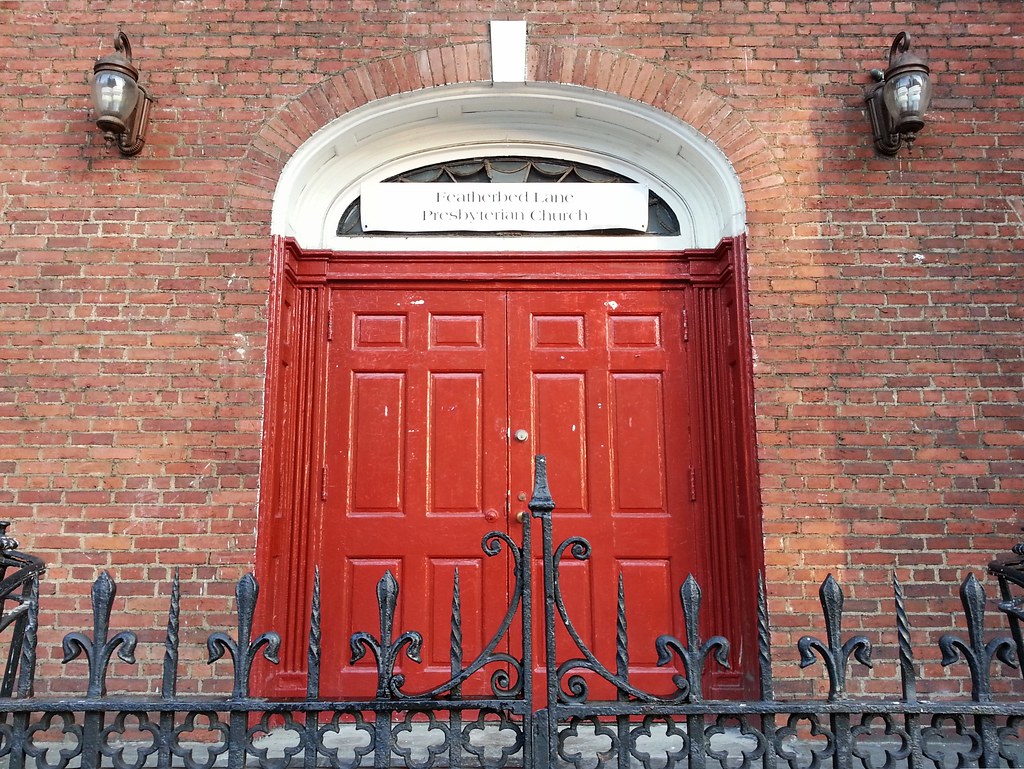
We covered the origin of Featherbed Lane's appellation last January, but I think it's time for a refresher. From John McNamara's History in Asphalt:
There are three well-known versions of the origin of this name. During the Revolution, residents padded the road with their feather beds to muffle the passage of the patriots. Another story is that the spongy mud gave riders the effect of a feather bed. Still another tale is that the farmers found the road so rough, they would use feather beds on their wagon-seats to cushion themselves.
There is a fourth supposition advanced by a native of Highbridgeville that Featherbed Lane was a sly allusion to ladies of easy virtue who lived there. In short, it was the local Red Light district during the 1840's when work on the nearby Croton Aqueduct was going on. Unsuspecting real estate developers of a later time liked its quaint name and retained it.


Aqueduct Racetrack and the Resorts World Casino (the highest-revenue slot parlor in the nation!) are located right on the other side of the Rockaway Line subway tracks running across the background of this photo. If I were a betting man, I'd wager that most of the folks cramming their cars into this sparsely populated corner of the neighborhood are taking advantage of the free street parking and just walking through the nearby subway station underpass, leaving them with a few extra dollars in their pocket to burn on the horses or the slots.
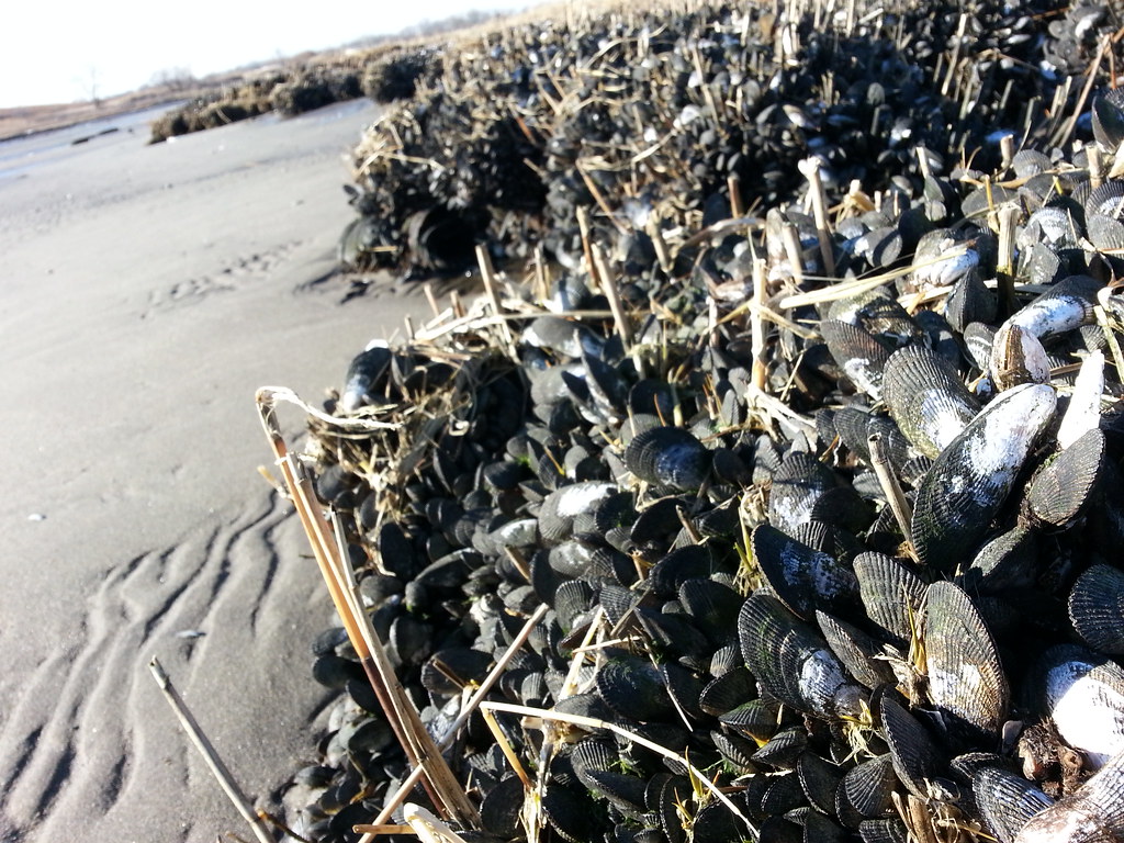
New York's parks are generally very well documented, but I can't find any information about the existence of this Sternish-sounding strip of grass and trees beside the Belt Parkway.

It's not too uncommon to find a car dumped out in the city's marshlands, but this is the first skid-steer loader I've come across.


This monster just barely fit between the driveways on either side of it.
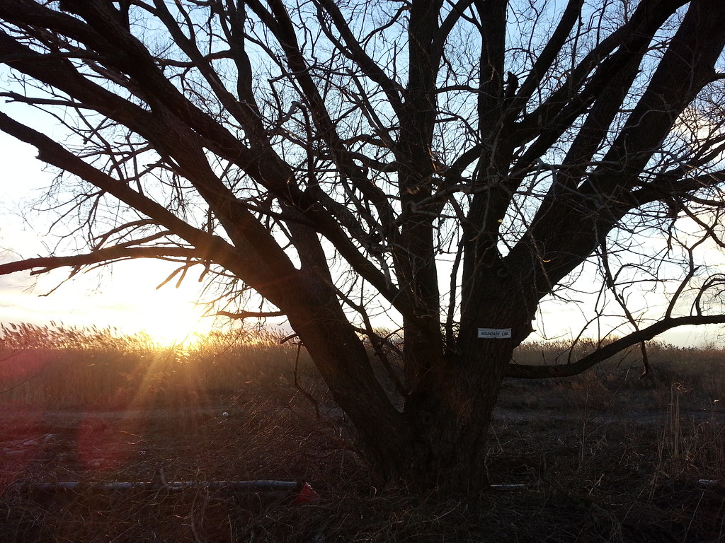
According to that white sign on the tree, this is the edge of National Park Service land.


