
)
)
This forgotten little fork of a neighborhood, along with nearby (and equally obscure) Meadowmere, is hidden away at the eastern edge of Queens, cut off from the rest of the city by water and marshlands. The two tiny communities didn't even have sewers until just a few years ago. (To get a better understanding of the crazy city boundary in this area, check out today's route map and zoom in on the lower right part of the map. The shaded areas are Nassau County, while the rest is NYC. The border is a little crudely drawn, but it gets the point across.)
The treed property visible on the other side of Thurston Basin is part of JFK Airport, which explains the two otherwise out-of-place-seeming signs mounted on posts in the water, visible midway through the video. The signs read "KEEP OUT SECURITY ZONE".
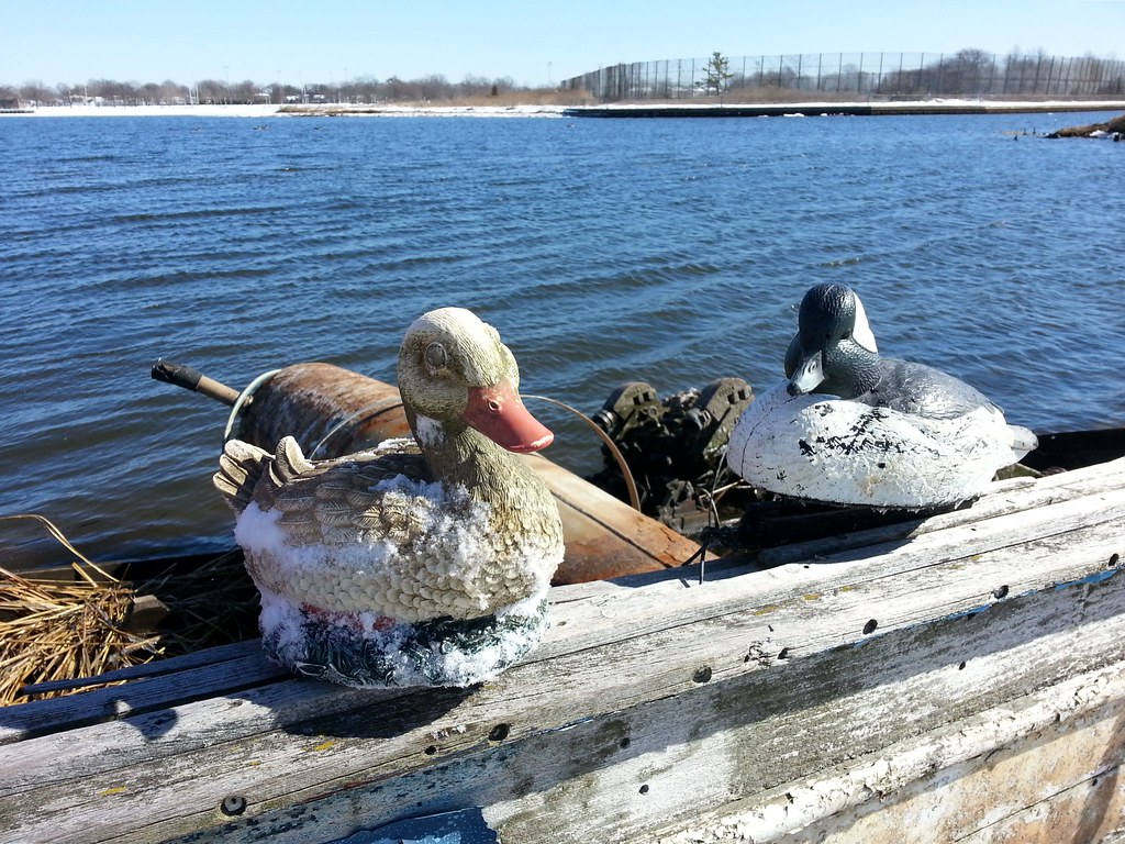
Land duck 'n' water duck, found by the remains of an old boat in the marsh
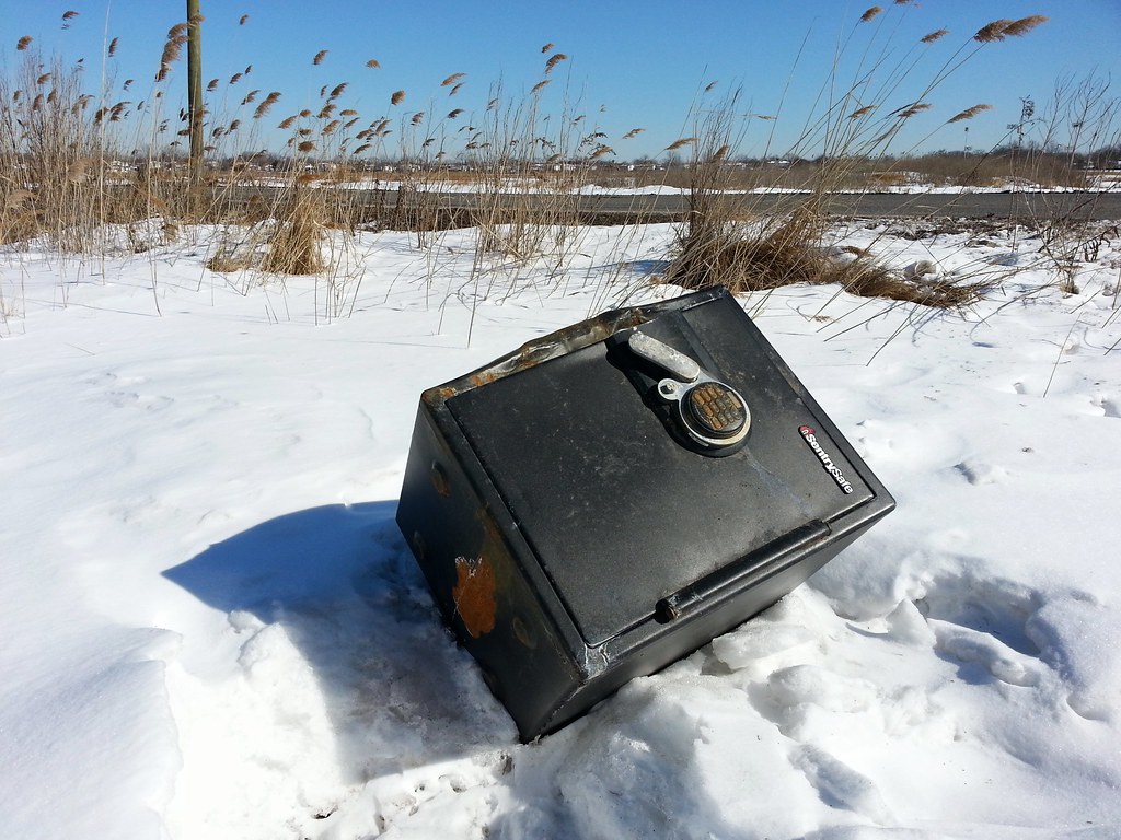
A brief forensic investigation concluded that this safe has been sitting here beside Snake Road since before the snow fell, but was recently moved, perhaps in a failed bid to liberate its contents. A closer look reveals at least one unsuccessful attempt to pry the door open.
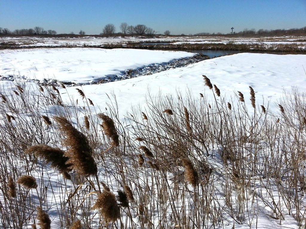
Idlewild Park Preserve preserves the name of Idlewild Airport. (The airport's name was officially changed to New York International Airport before it opened, but it was still popularly called Idlewild.) In late 1963, after the assassination of John F. Kennedy, the airport was renamed in his honor. Looking out over the marsh here, you can see the JFK air traffic control tower off in the distance.
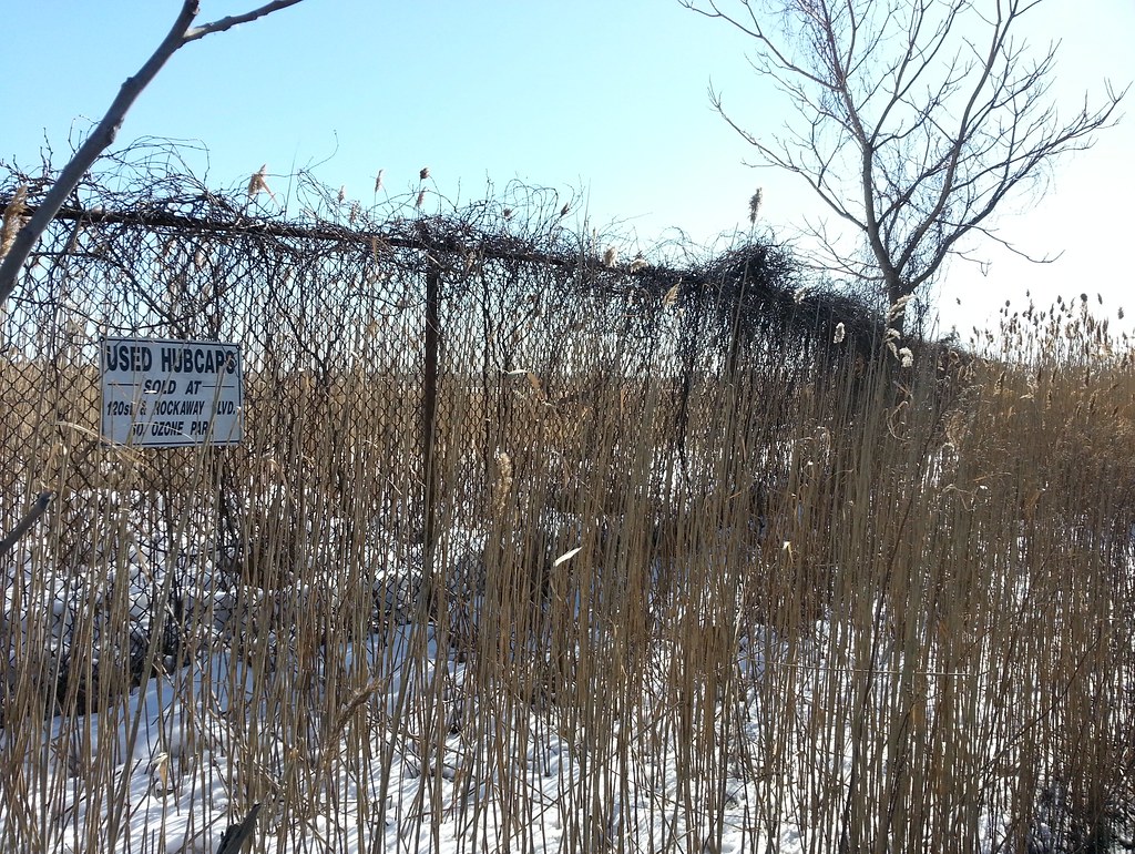
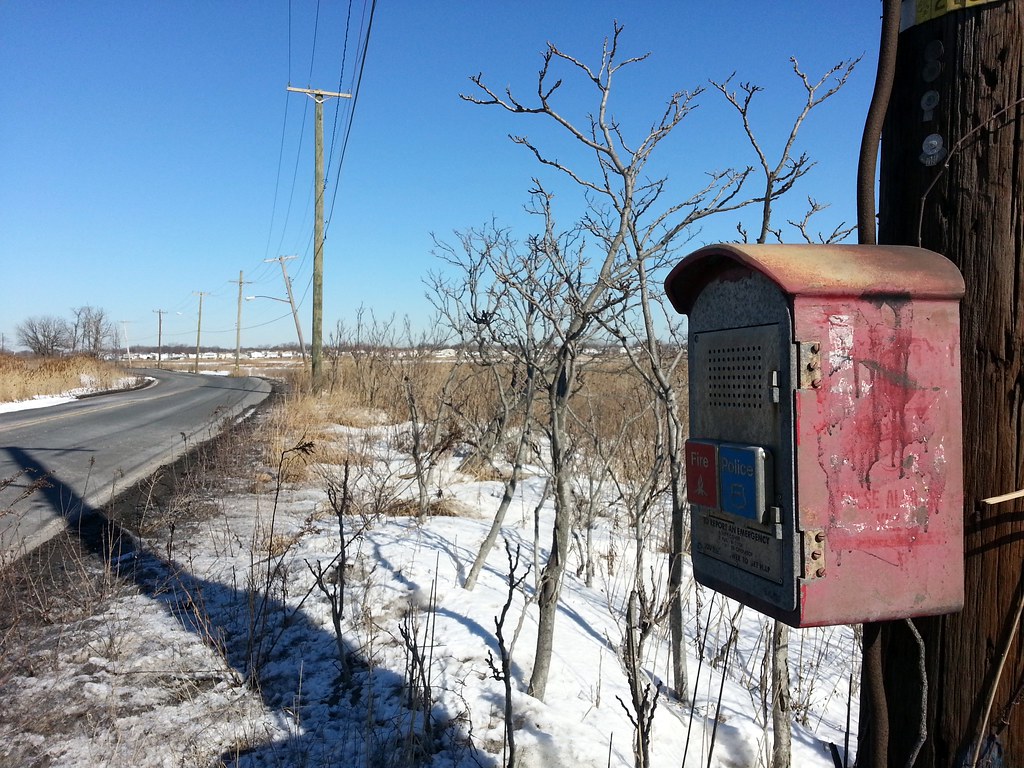
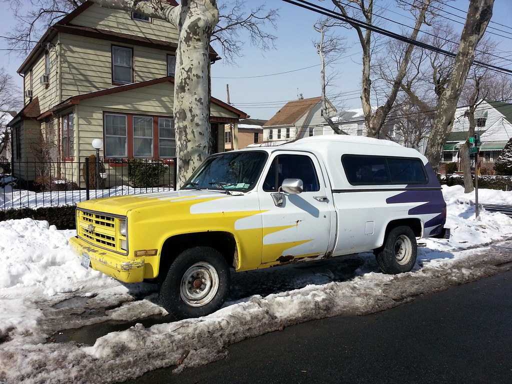
Sold at 120th Street and Rockaway Boulevard; perplexingly advertised in small type on a marshland fence that runs alongside Snake Road. Check it out in Street View.
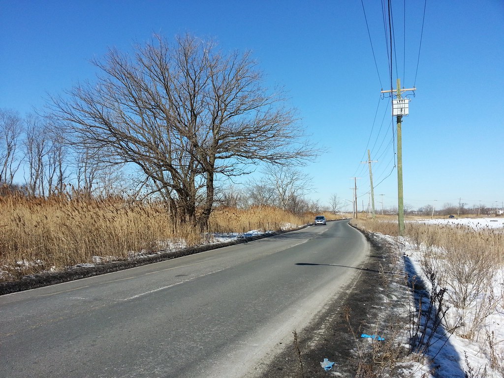
This isolated section of Brookville Boulevard, winding nearly a mile through the wetlands of Idlewild Park Preserve at the edge of New York City, is known as Snake Road to locals. This aerial view gives you a good sense of the area's unique geography.
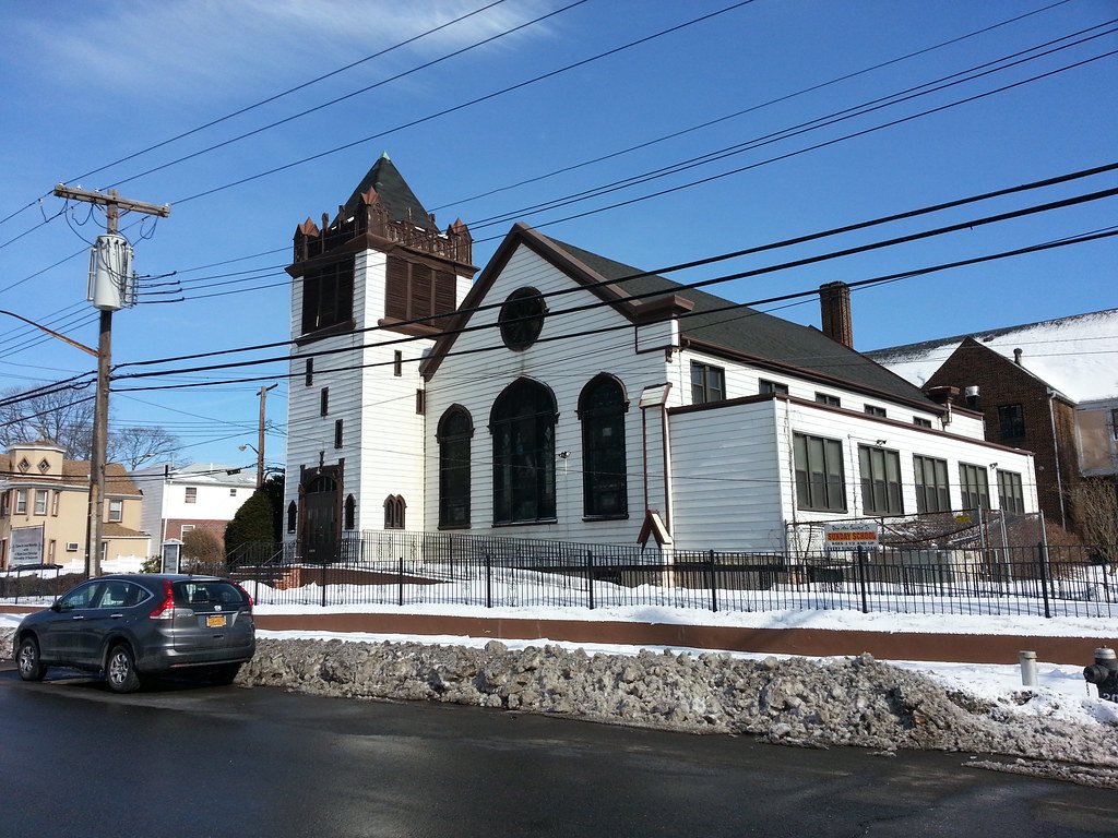
This building was dedicated in 1906. You can see some interior shots here.

Some old scents, some new. The ever-popular BIG BOOBS makes another appearance, while Monkey Fart looks to have overtaken Gorila Burp as the mammalian gaseous emission of choice.

I'm walking every street in New York City.
This is the counterpoint to my walk across the US. Instead of seeing a million places for just a minute each, I'm going to spend a million minutes exploring just one place. By the time I finish walking every block of every street in all five boroughs, I'll have traveled more than 8,000 miles on foot — all within a single city. Details!
Email me at matt@imjustwalkin.com
Subscribe to my email list
Maps: Progress | Photos

~9,954 miles walked
Your donations allow me to keep walking full-time. If you think what I'm doing is valuable and you'd like to offer some support, I would be very grateful. On the other hand, if you think I'm a worthless bum, feel free to email me and tell me to get a job, bozo. Both are excellent options!
