
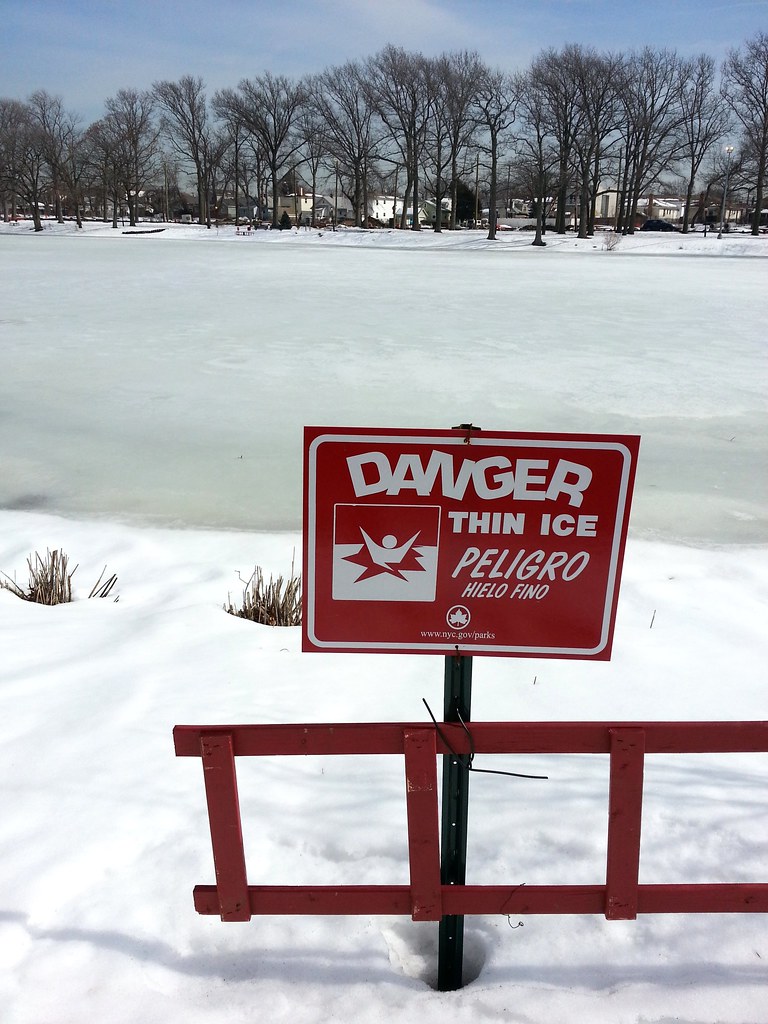

After years of successful implementation in Staten Island, the city is now developing Bluebelts — which use natural drainage corridors rather than conventional sewer systems to manage stormwater — in Queens. Street reconstruction for the Springfield Gardens Bluebelt was in full swing today.
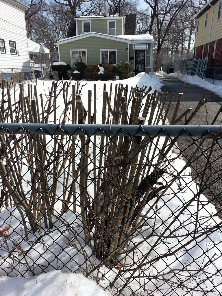
I saw a paper delivery guy pull up to this house in a car with "UniversalMaids.com" emblazoned on the side, take one step out of the car, and lackadaisically chuck a copy of the Daily News in the general direction of the yard. It landed right in the middle of one of these bushes, making it almost invisible (close-up). The guy contemplated the situation for a moment before deciding it would be best to just move on to the next house and refrain from doing any extra work. Odds are he was just lazy, but perhaps he had realized that these people would undoubtedly be better off not reading the Daily News. (I ultimately decided to leave the paper hidden in the bush for that same reason.)

The Engine 311/Ladder 158 firehouse stands at the northeast corner of Springfield Park (map), a lovely green space with a stream running through it and a pond in the middle. This building brings to mind the nearby Engine 314 firehouse located at the northeast corner of Brookville Park, another streamy/pondy park (map). In fact, the locations of the firehouses relative to their respective parks are so similar that I initially thought I was looking at the same firehouse we saw earlier, even though I remembered there was a different mural painted on the door.
I can't find anything to confirm this, but I'd guess the proximity of these firehouses to the parks is not a coincidence. Until fairly recently, southeastern Queens relied on local wells for its water supply, so perhaps it seemed like a wise idea back in the 1920s (when this firehouse was put up) to build firehouses near bodies of surface water that could be used as backup, or maybe even primary, sources of water for the fire engine tanks. (At that time, I believe these ponds were still being used to feed the Ridgewood Reservoir, which supplied water to Brooklyn until 1959.) A third similar park in the area, Baisley Pond Park, does not appear to have a firehouse located particularly close to it, however, so maybe I'm just full of crap.
And I suppose it's also possible that the firehouses were built on city land simply as a cost-saving measure, with the nearby water playing no role in the decision.
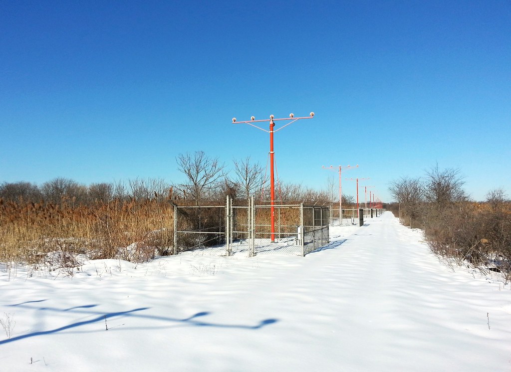
Built out into the wetlands north of the airport. Compare to what we saw at LaGuardia.
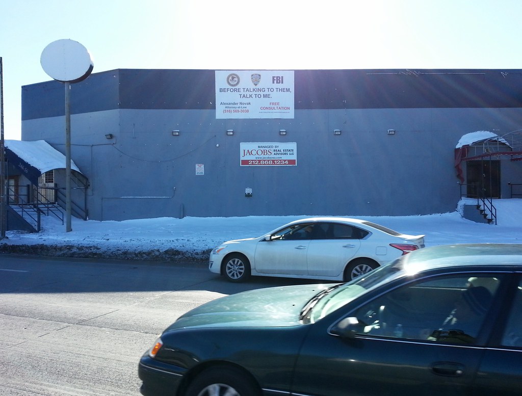
Before talking to them (the Department of Justice, the New York Police Department, and the FBI), talk to me.


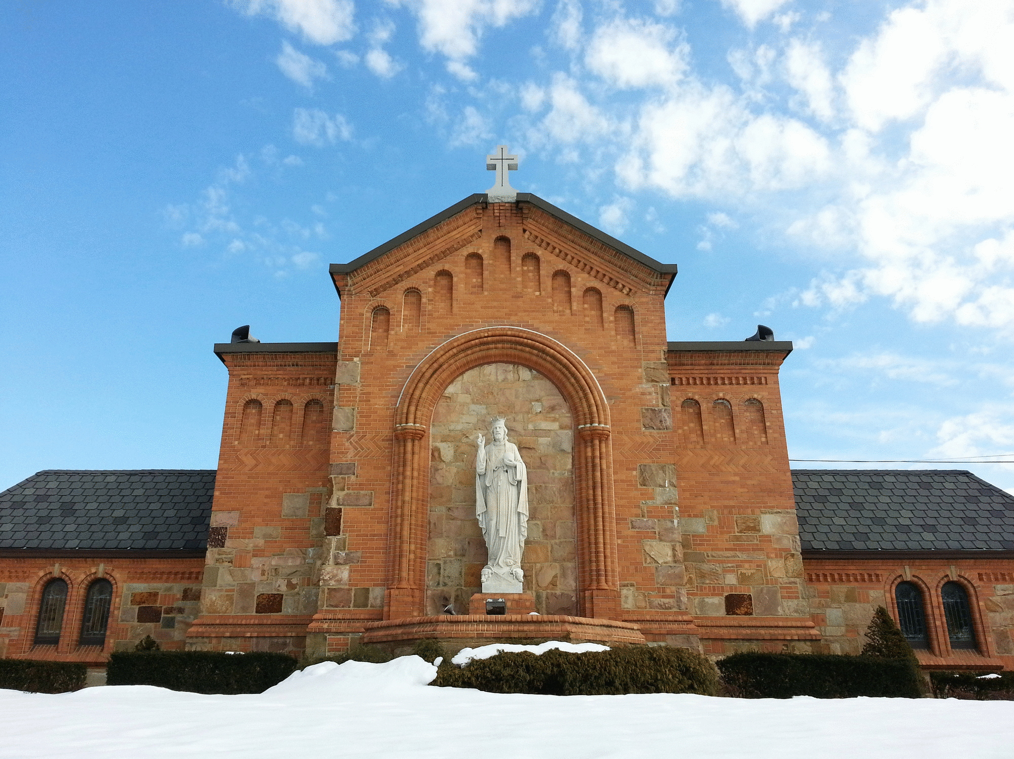
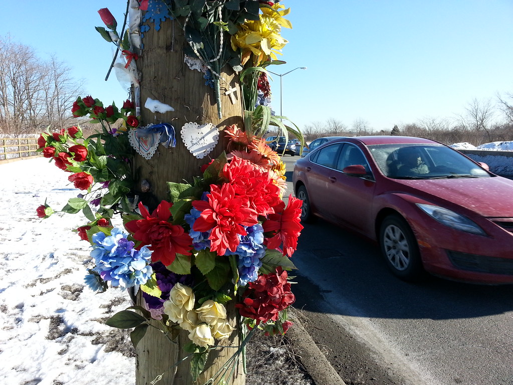
That's some World Trade Center steel at left, but this doesn't count in my official 9/11 memorial tally since it's in Nassau County.
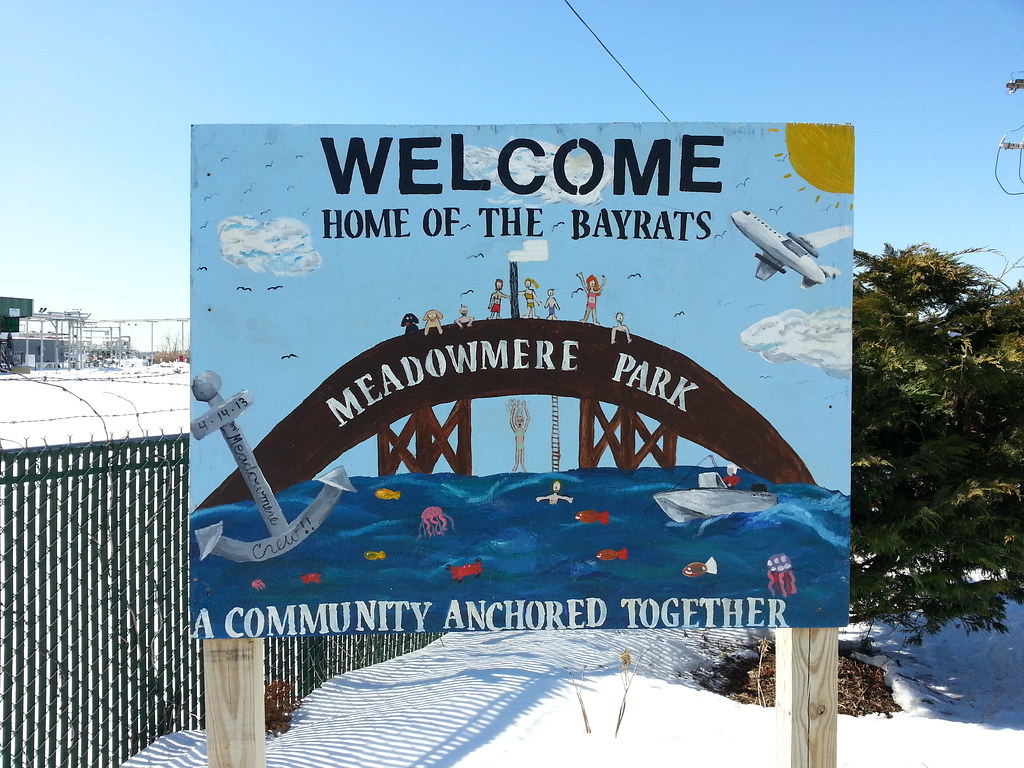
Depicted above are a couple of features already familiar to us: the wooden footbridge connecting Meadowmere Park to Meadowmere (a popular summertime diving spot for neighborhood kids) and an airplane screaming overhead.
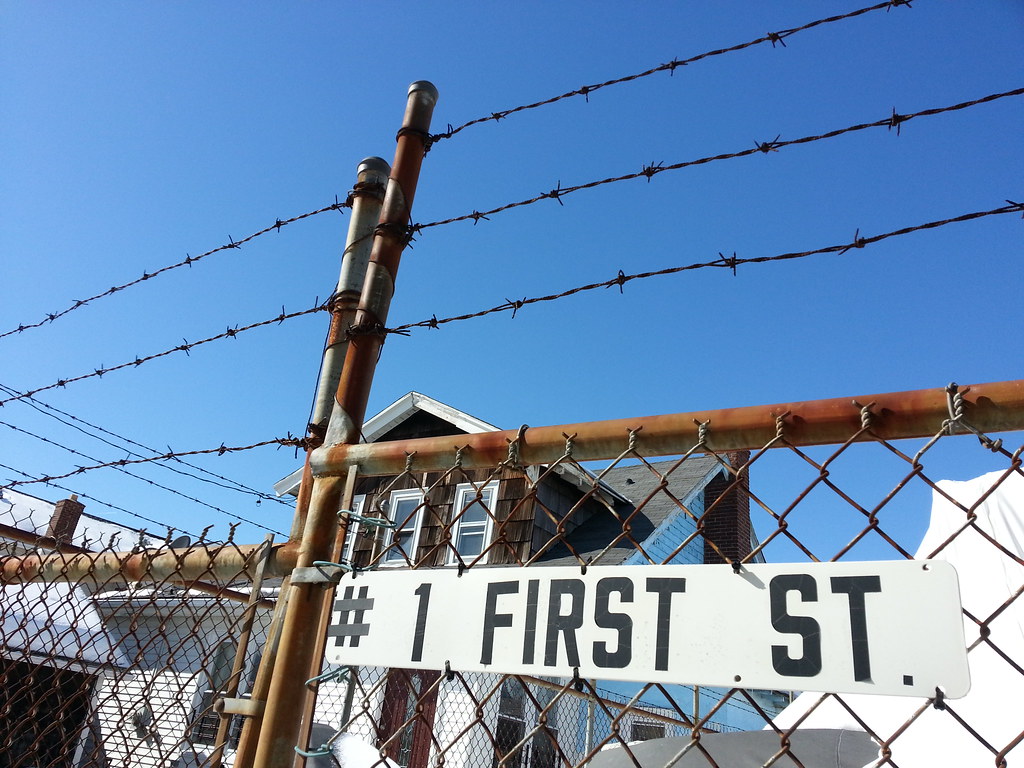
This sign is a good indication of how isolated the community of Meadowmere is. It's one of the very few places in Queens where the borough's standard hyphenated addresses are not used. And the street numbers (1st through 3rd) are an anomaly as well. Starting a century ago, a single massive, messy street grid was imposed on almost all of Queens, with the notable exception of the Rockaway Peninsula, which has an independently numbered set of streets. But there are still a couple of renegade pockets of the borough that have their own street numbers, and Meadowmere is one.
The street pictured above is one of three different First (or 1st) Streets in Queens. The one that belongs to the borough-wide grid is in western Astoria (map), and there is another in the almost-as-obscure-as-Meadowmere neighborhood of Ramblersville (map). Interestingly, while there's no Second or Third Street in Ramblersville, 102nd Street and 104th Street (and a handful of avenues/drives/roads) from the main Queens grid do manage to sneak in and mix it up with their low-numbered cousin.
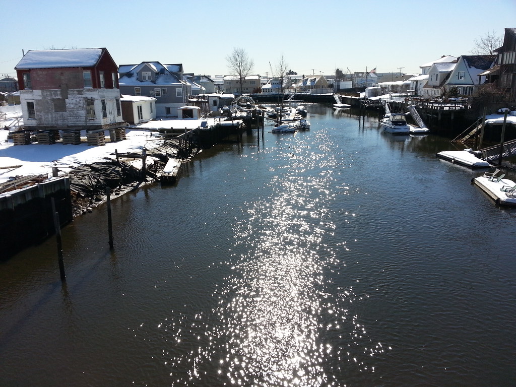
Standing at the edge of New York City, I'm taking this photo from the wooden footbridge over Hook Creek that connects Meadowmere, Queens (on the left) with Meadowmere Park, Nassau County (on the right). These two tiny neighborhoods, nestled together with each surrounded almost entirely by the other's county, constitute something of a geographical yin and yang. This map will help you understand what I'm talking about; the dashed line is the city boundary, with Queens generally to the north and west and Nassau to the south and east.
The story of this area has long been that Meadowmere Park is the nicer neighborhood, with its well-paved streets and sewers and tidy lawns, while Meadowmere is largely forgotten by NYC, its low-lying streets more susceptible to flooding and its general appearance more ragged. (The city didn't actually have title to its streets until 1995.) Recently, however, the city has started paying some attention to Meadowmere, finally building sewers in the neighborhood a few years ago.
I'm walking every street in New York City.
This is the counterpoint to my walk across the US. Instead of seeing a million places for just a minute each, I'm going to spend a million minutes exploring just one place. By the time I finish walking every block of every street in all five boroughs, I'll have traveled more than 8,000 miles on foot — all within a single city. Details!
Email me at matt@imjustwalkin.com
Subscribe to my email list
Maps: Progress | Photos

Your donations allow me to keep walking full-time. If you think what I'm doing is valuable and you'd like to offer some support, I would be very grateful. On the other hand, if you think I'm a worthless bum, feel free to email me and tell me to get a job, bozo. Both are excellent options!
