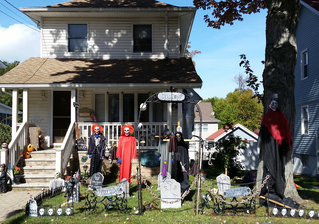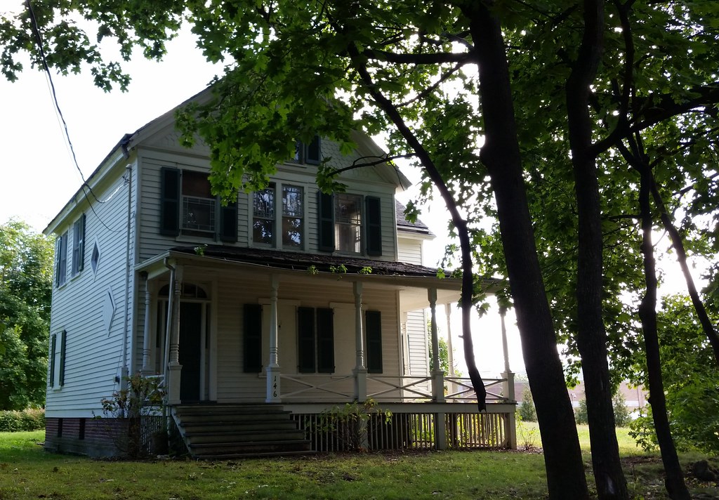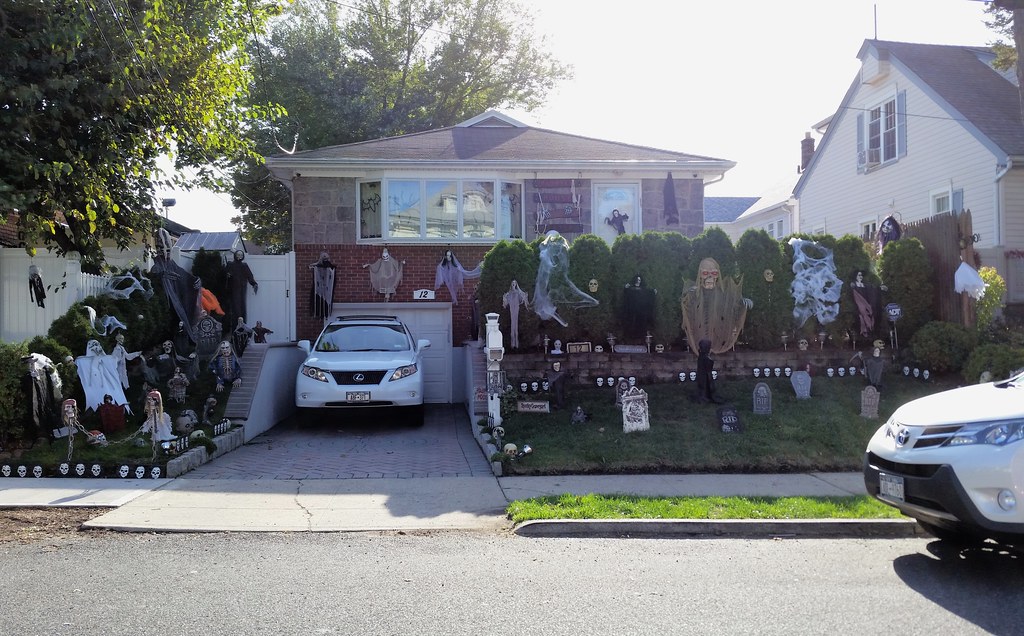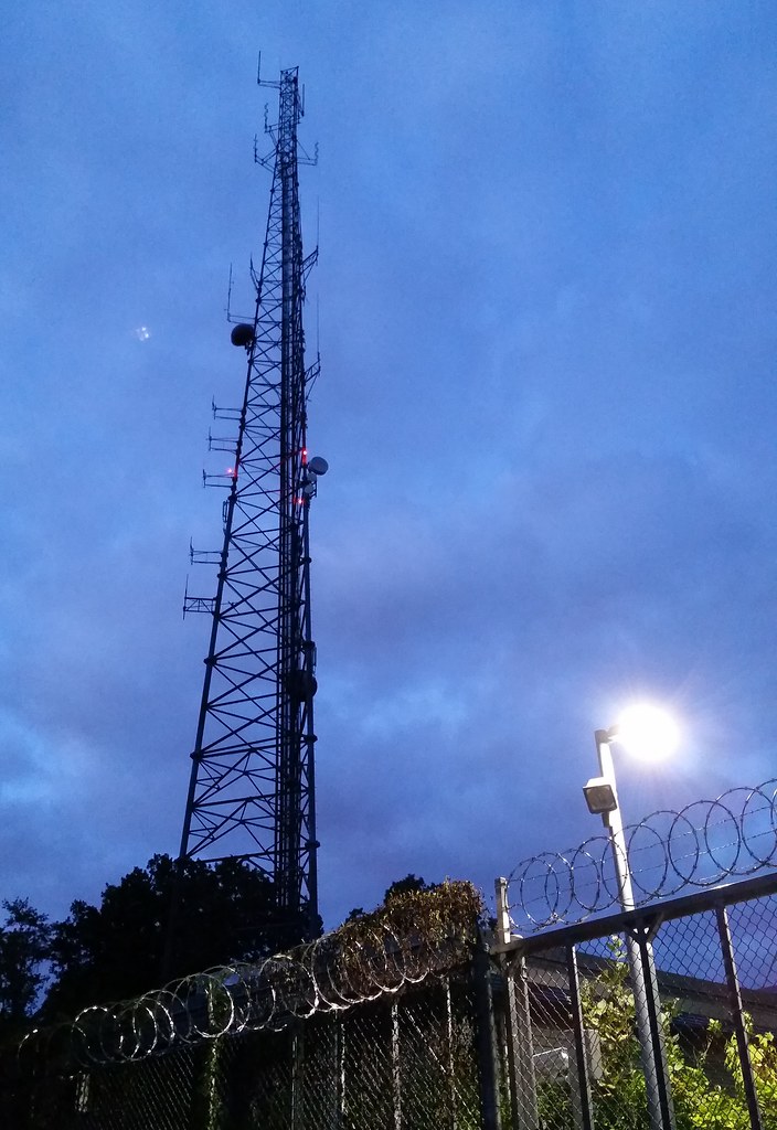

This is the Parks Department's Staten Island borough headquarters. The department's website says it was built out of native fieldstone in the early 1930s, but also describes it as a "one-story building", so it's possible the larger part of the structure has a different story.

I don't know if there's any particular reason this statue was selected to stand alone on the grounds of the two 10-story apartment buildings known as The Fountains.
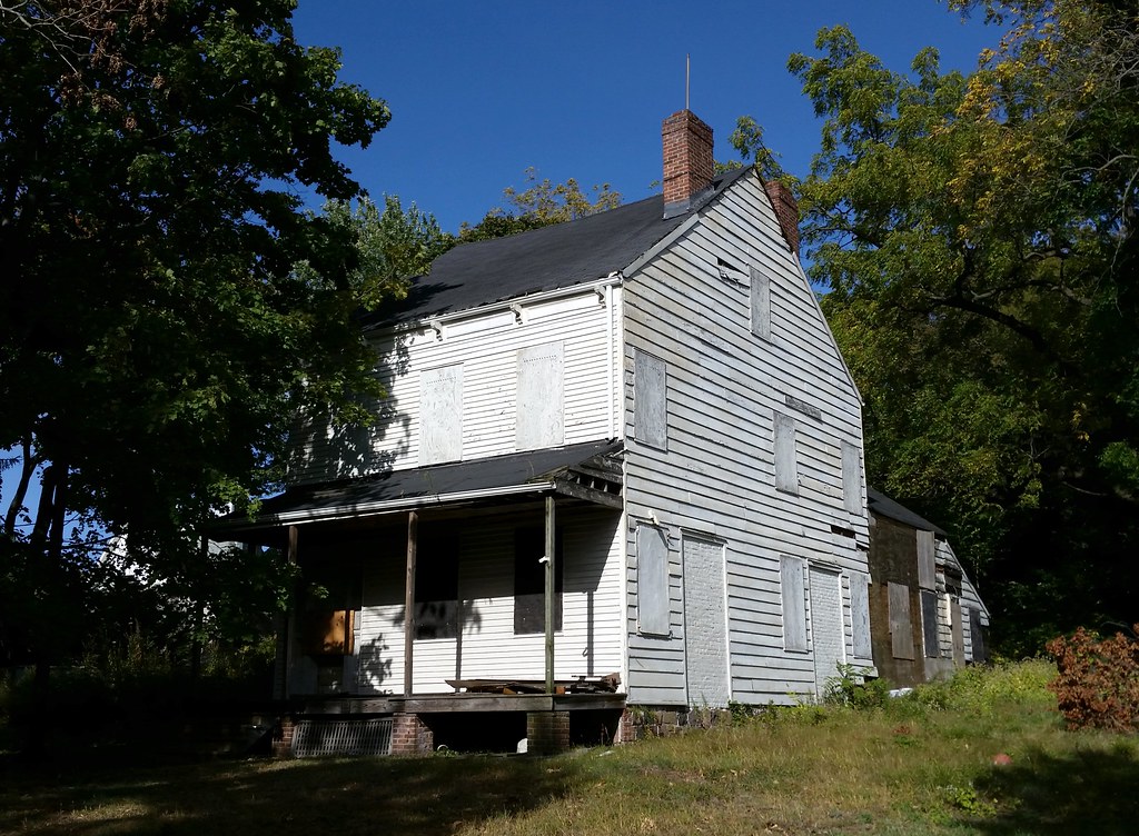
This somewhat sorry-looking structure was built around 1836 for John King Vanderbilt, a first cousin of Cornelius Vanderbilt. A sign on the property says there is a medical/community facility coming soon, but the sign has been there since at least September 2013. The house is landmarked, however, which means that any future development would have to leave it standing. The best deal for all parties might be something like what happened with the neighboring Dorothy Valentine Smith House, which was restored in the late 1990s as part of a plan that also relocated and reoriented it on its lot to make room for commercial development that finally came in the form of a Walgreens in 2013.

This fence is built across Waldron Avenue, splitting the block in two. A similar fence exists one block over on Beverly Avenue, and a simple chain blocks traffic on Victory Boulevard from turning onto East Cheshire Place. This map shows the layout of the barriers.
One neighbor who was out in his lawn told me the roadblocks have been here as long as he can remember. He said they were a response to heavy volumes of cut-through traffic. They seem like overkill though. Why do the two fences need to prevent pedestrians from passing though? It's hard to imagine the DOT approving pedestrian barriers in an attempt to keep cars from cutting though an area.
Also, as you can see in the map linked above, the roadblocks kind of just shift the problem from one street to another. They prevent traffic from cutting through on East Cheshire Place, but they allow it on Melrose Avenue. So all the drivers trying to avoid the major intersection of Victory Boulevard and Clove Road can still cut through the area, just on a different street. The barriers are effectively sacrificing one street for another.
So how does something like this that needlessly obstructs pedestrian traffic on public streets and favors one street over another get built? Perhaps the answer lies in something else the guy out in his lawn told me: that some "important people" used to live here.
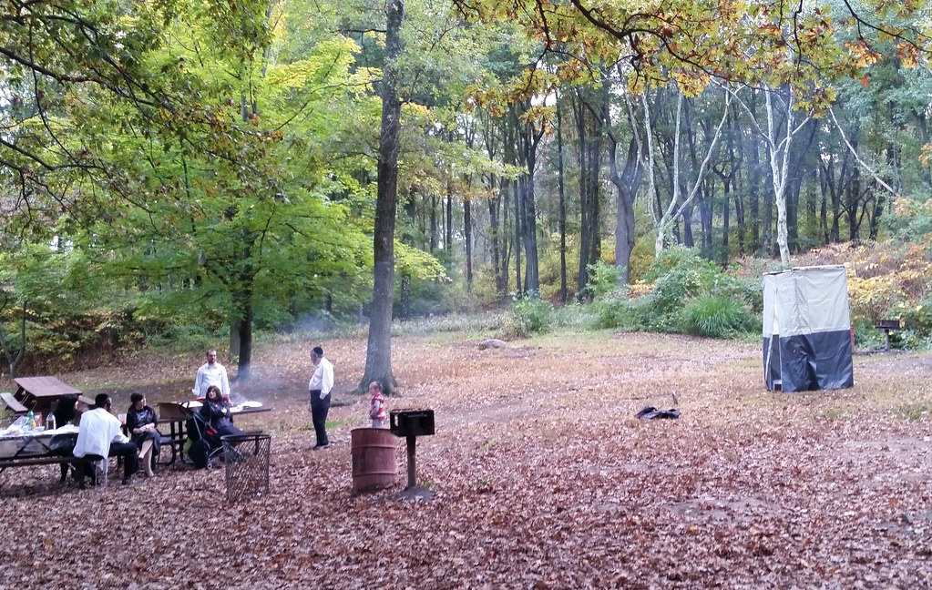
These folks brought a portable mini-sukkah with them so they could celebrate Sukkot while picnicking in Clove Lakes Park. Here's a closer look at the sukkah; I think it might be one of these models.
Walking through Clove Lakes Park in the dark, it was kind of surreal to come across this group of women and their perky leader working out with drumsticks to Rage Against the Machine's "Killing in the Name". Apparently this workout is called Pound; here's a news video about it in which one of its creators, referring to the date rape drug, describes it as "the roofie of workouts".

