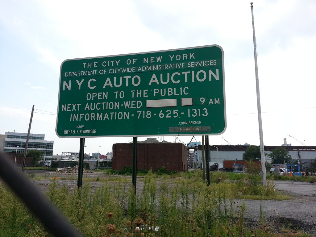
A "still-flourishing tradition" no more, this former fortnightly live auction has forsaken its spot at the Brooklyn Navy Yard for the greener pastures of the internet.

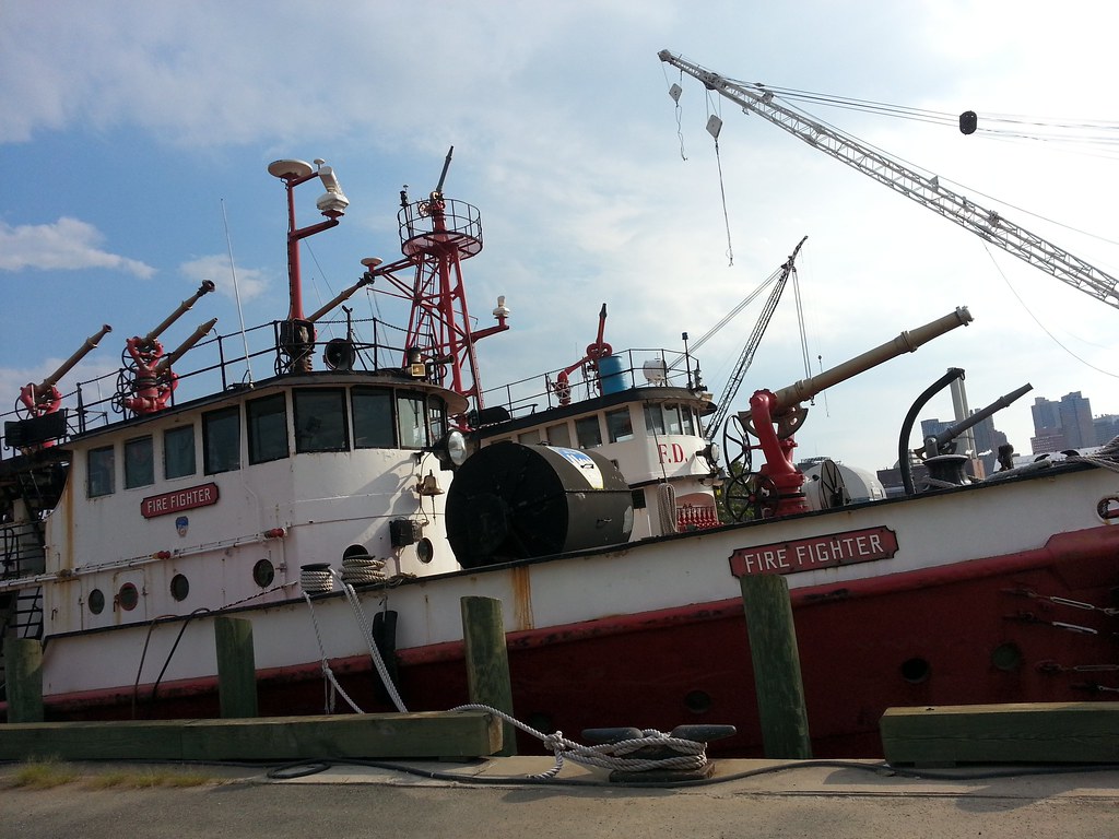
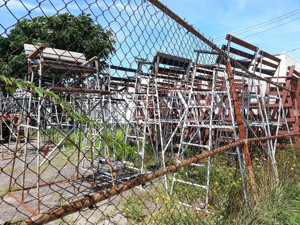
These racks for the city's upcoming bike-share program, whose start date was recently postponed until next spring, will have to wait out the winter here at the Brooklyn Navy Yard.

Or at least it used to be. The service members buried here have since been disinterred, and there are now plans in the works to turn the site into a park.
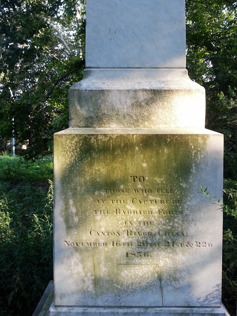
Before stumbling upon this monument, I had never heard of the Battle of the Barrier Forts, fought early on in the Second Opium War.

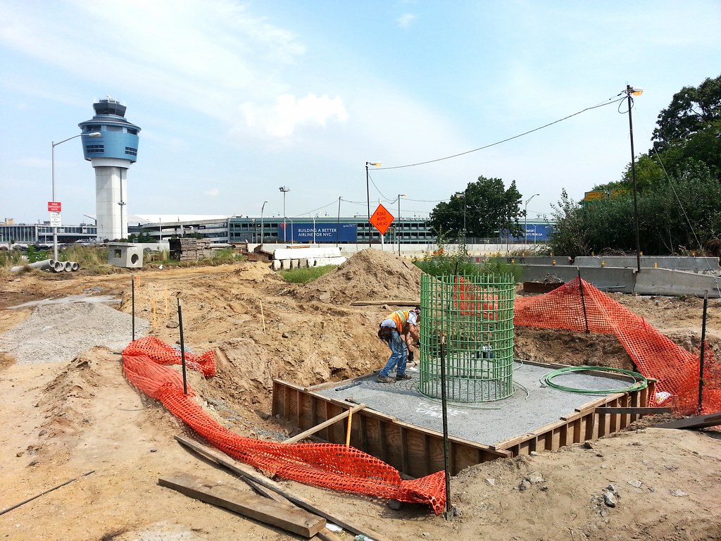
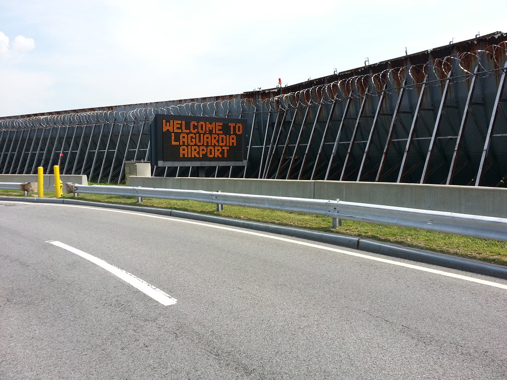
to the Grand Central Parkway. (That's LaGuardia Airport's control tower lurking in the background.)

of Aeronautics and Technology — located just across the street from LaGuardia

from atop an administration building at LaGuardia's Marine Air Terminal

Pardon the out-of-town news, but the world's most exciting insurance sign has recently undergone a serious and — in my opinion — tragic renovation.

A sign posted here in the parking lot of the Hampton Inn (adjacent to the Crowne Plaza and across the street from LaGuardia) reads:
The Ditmars Boulevard / Crowne Plaza
Pet Rock
This 1000-ton boulder was brought to its present location (probably from southern Westchester) by an ice sheet about 10,000 or 12,000 years ago. Although the boulder is impressive, it is only a small part of the ice sheet's load. Long Island is built almost entirely of materials (boulders, sand, gravel, and clay) that were brought here by the ice.
The rock is granite pegmatite. It contains pinkish white crystals of potassium feldspar up to two feet long and smaller grains of the minerals quartz, plagioclase, biotite, muscovite, tourmaline, and garnet. The black tourmaline and the clear quartz are intimately intergrown on the northwestern face of the rock.
The pegmatite closely resembles the numerous "young" granites that intrude the metamorphic rocks of the Manhattan Prong between Long Island Sound and Putnam County. In Westchester County the granites of this kind were originally formed between 335 and 360 million years ago during the waning stages of the growth of the Appalachian Mountain system.
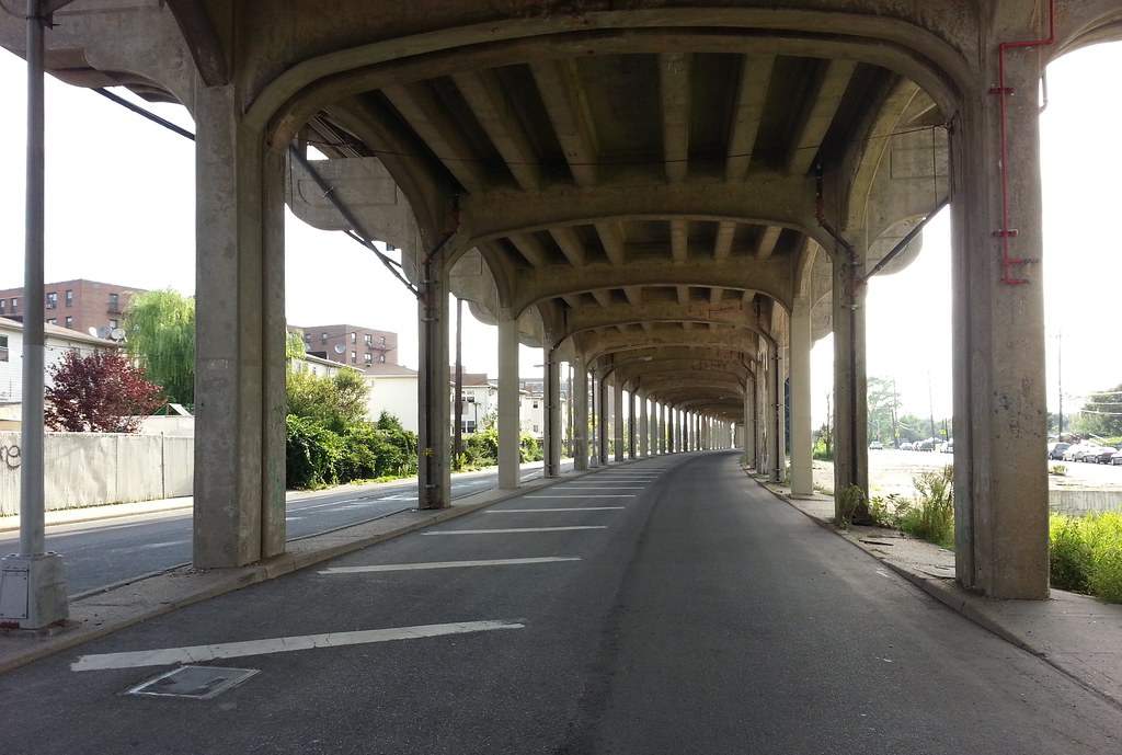
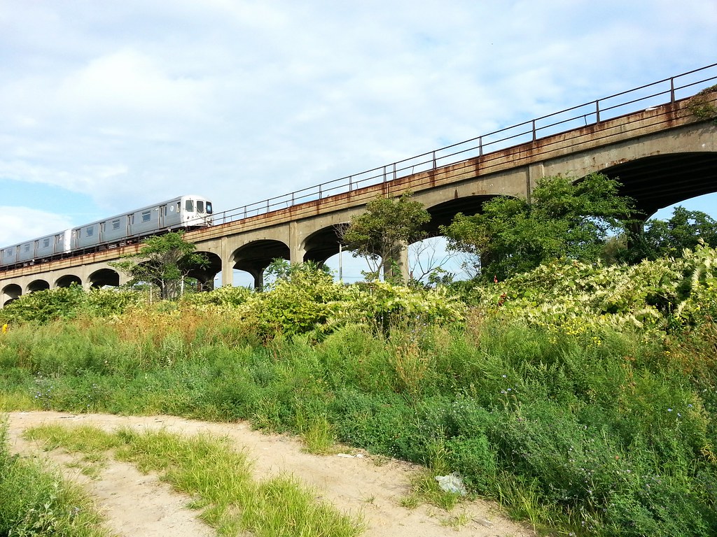
In the early 1940s, the Rockaway Freeway (which, with its many at-grade street intersections, is a freeway in name only) was built on the former right-of-way of the Long Island Rail Road, which had recently been elevated above street level on the structure you see here. It's a notoriously dangerous road, although it was made considerably less so in the late 1990s when it was reduced from two lanes in each direction to one.
The rail line was abandoned by the LIRR in 1955, but it reopened the following year as part of the subway system. The section in the photograph is currently served by the A train; the Rockaway Park Shuttle operates on the western portion of the line.
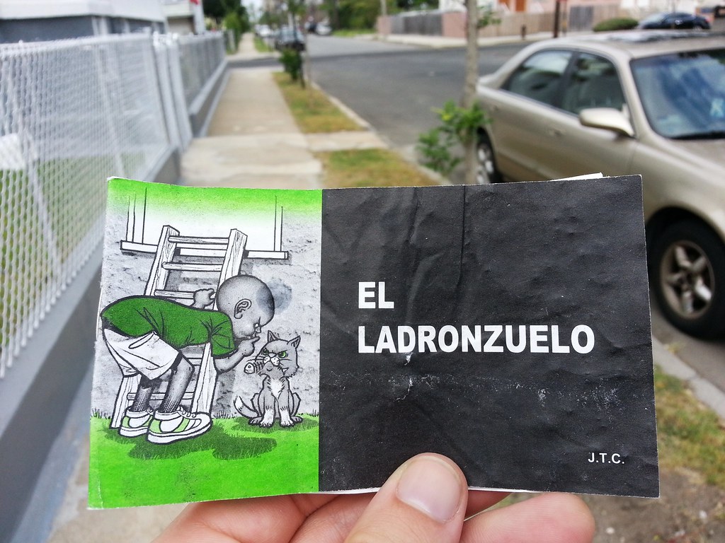
Take a gander at the latest Chick tract to hit the streets.
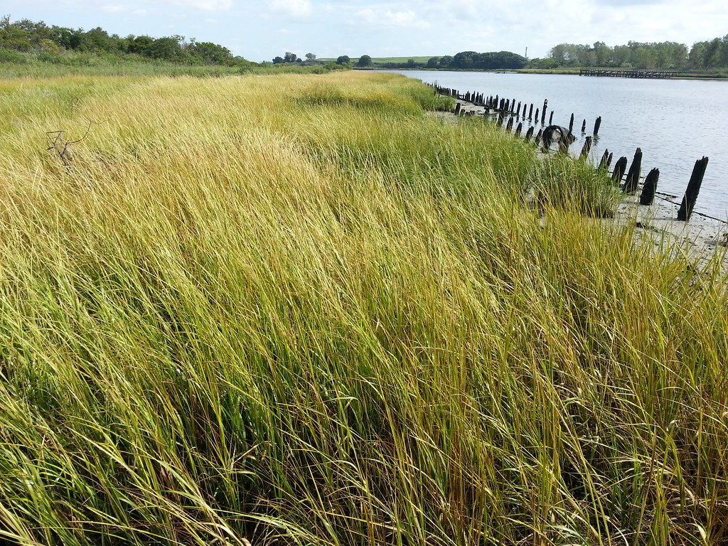
This preserve is named for René and Jean Dubos, a husband-and-wife pair of microbiologists and environmentalists. René, who discovered "the first clinically tested antibiotic agent", was also a Pulitzer-winning author "who brought a profound humanity to the study of man's harm to himself through environmental pollution", and he's often given credit for coining the phrase "Think Globally, Act Locally."
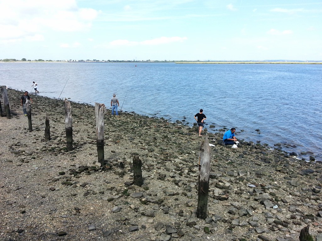
A million miles away from the faint skyline of Manhattan
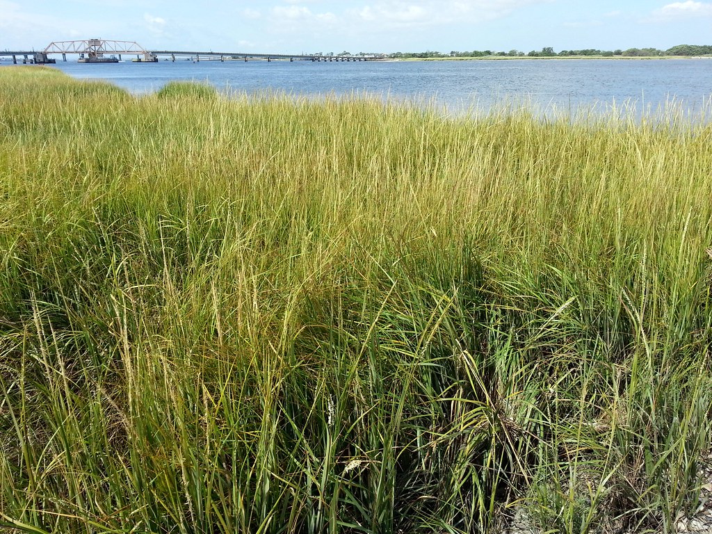
Indeed!
That bridge in the background carries the A train over Jamaica Bay from Subway Island (yes, that's what it's called!) to the Rockaways.

if no one else can help, and if you can find them, maybe you can hire the A-Team.
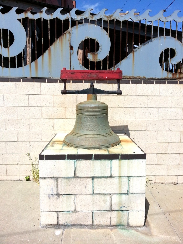
On display outside the Engine 265/Ladder 121/Battalion 47/EMS 47 firehouse ("Best on the Beach"), this 1897 bell dates back to the old village of Arverne-by-the-Sea, which was once a happening beach resort before it was leveled by the city in the late 1960s and then resurrected, without the hyphens, as a new mixed-use development over the past several years.
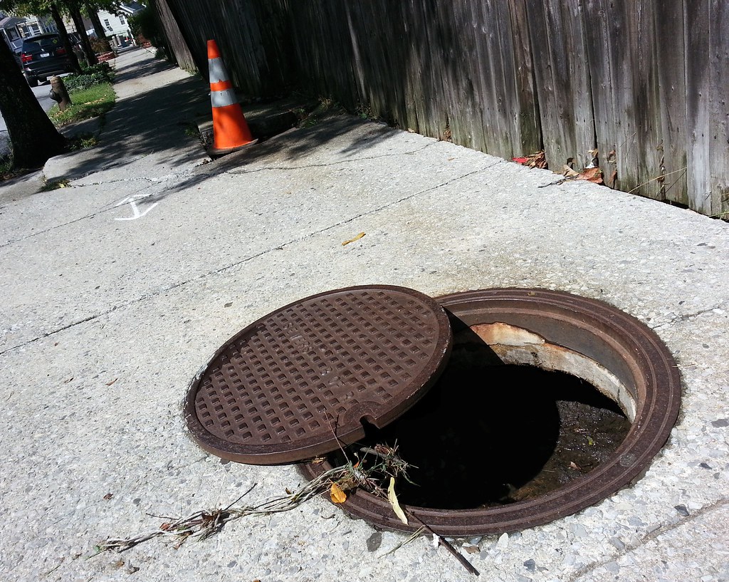
If you look closely, you can see "B of R" inscribed on the manhole cover; this means it predates 1975, when the Borough of Richmond changed its name to the Borough of Staten Island. (Each of NYC's five boroughs is coterminous with a county; Staten Island is still Richmond County.)
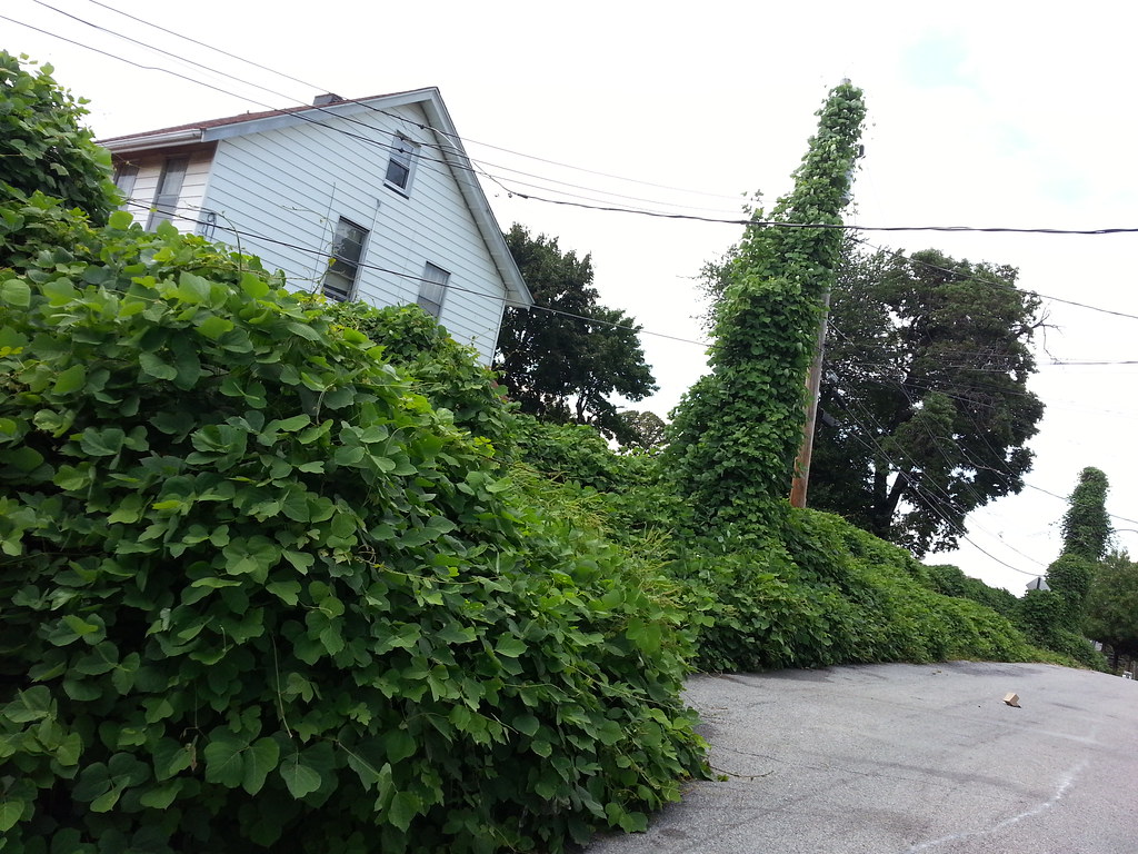
The ravenous Beast of the Southeast is expanding its domain northward.
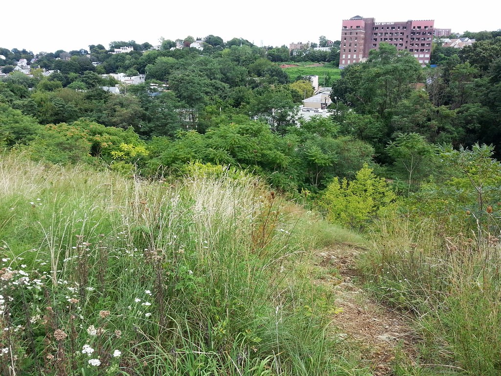
The large brick building off in the distance was part of the old Staten Island Hospital until 1979, when the medical center relocated to a larger campus. Just to its left stood a "spectacular Neo-medieval style brick structure" known as the Castle, which was was also part of the hospital complex and which was demolished just six months ago after being deemed an "accident waiting to happen" by the city.
(Just above the treeline in the center of the photo, you can faintly make out the top of one tower of the Verrazano Bridge, the longest suspension bridge in the Americas.)

From the NYC Landmarks Preservation Commission's 1969 landmark designation report: "One would sooner expect to read a description of such a house in an historical novel, rather than come upon such an actual structure still standing within the confines of New York City."


