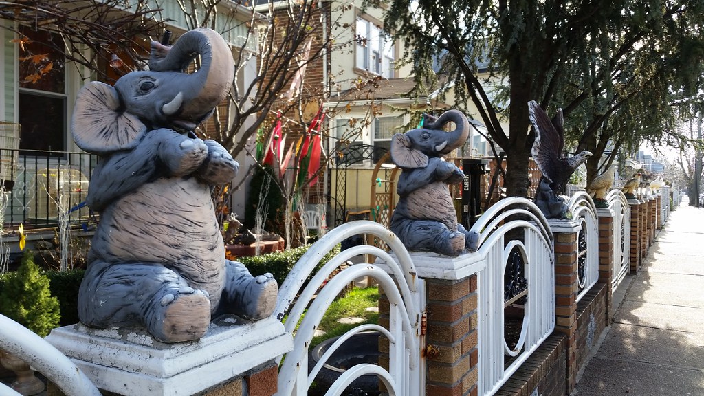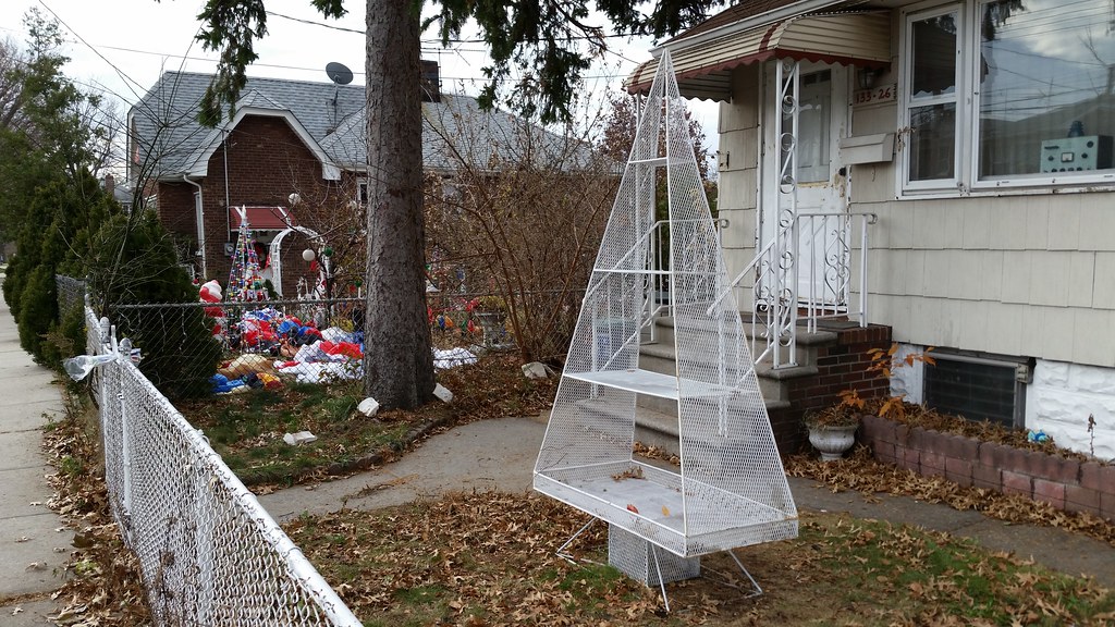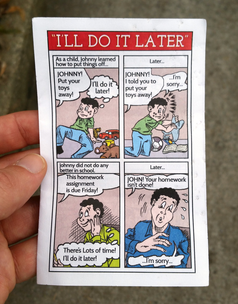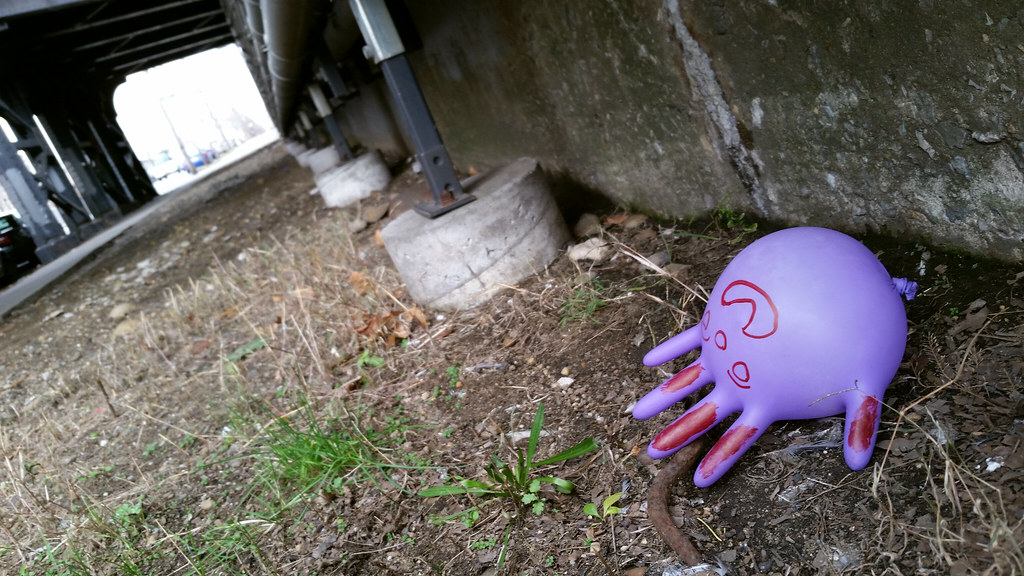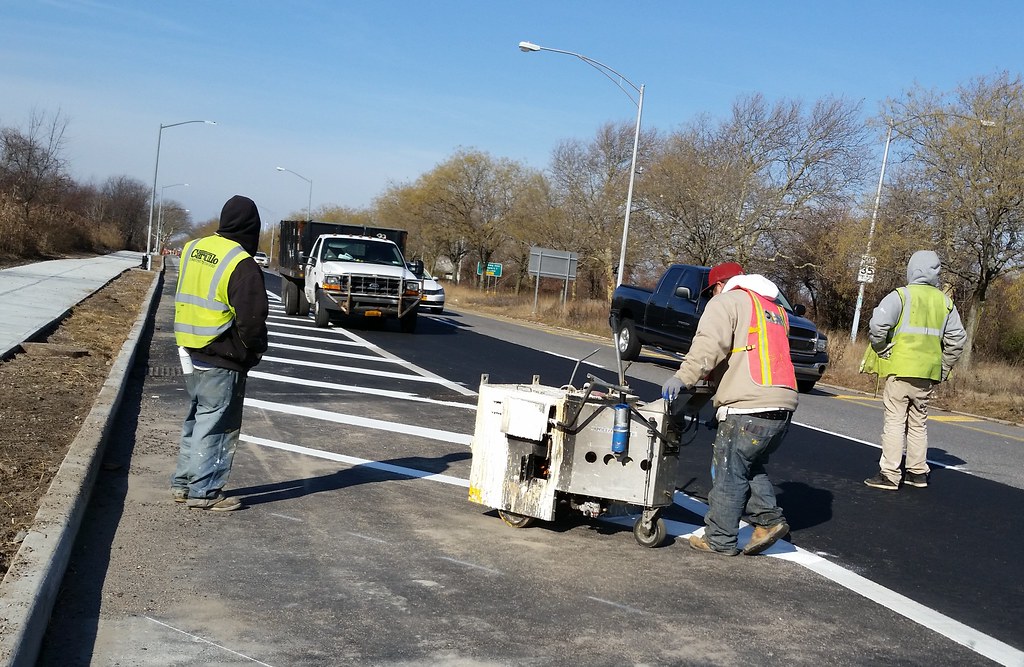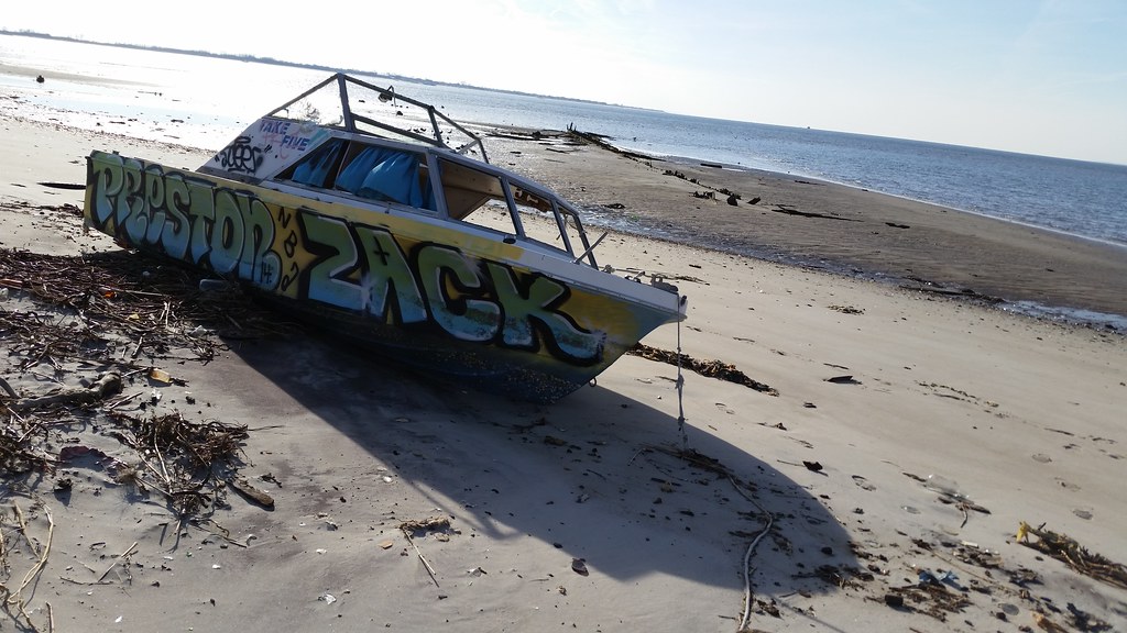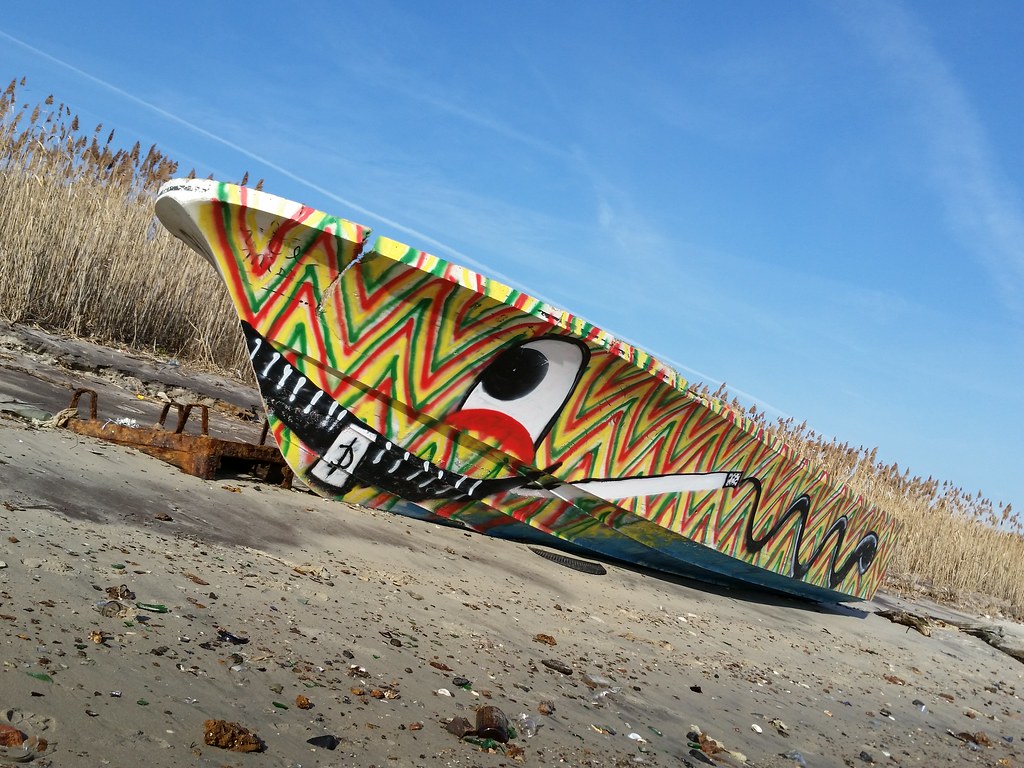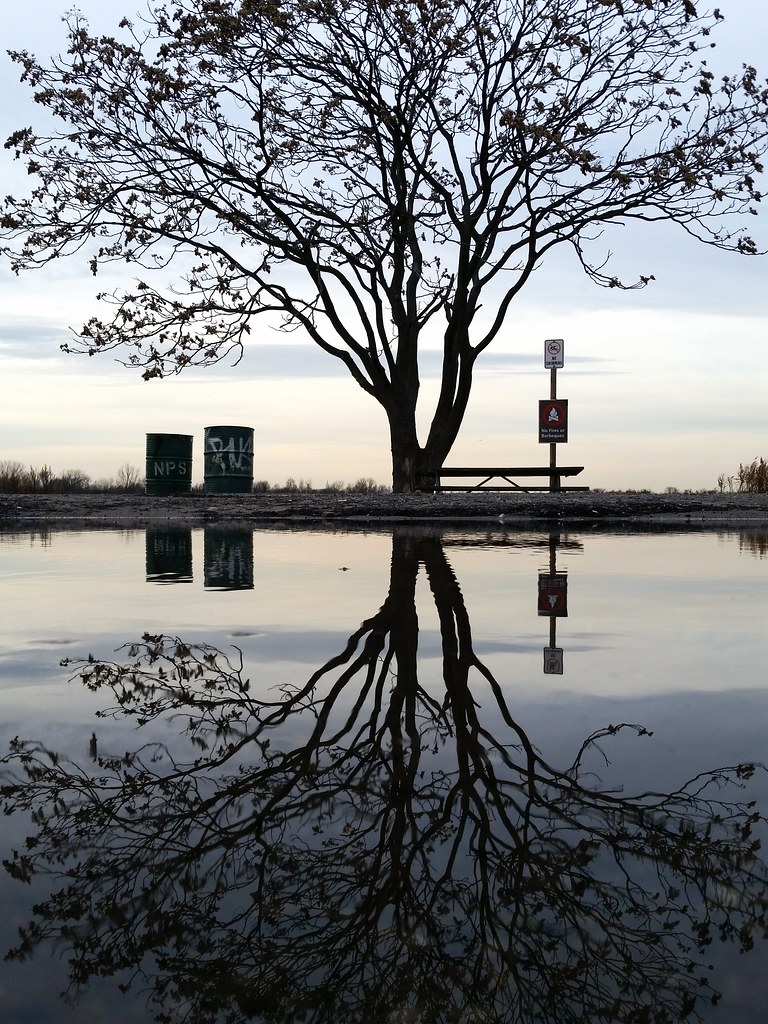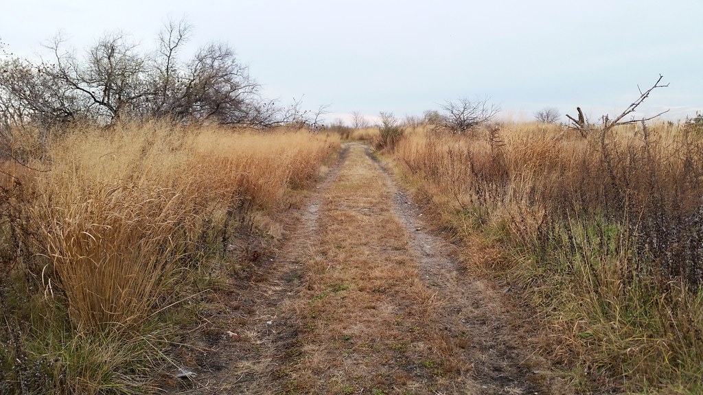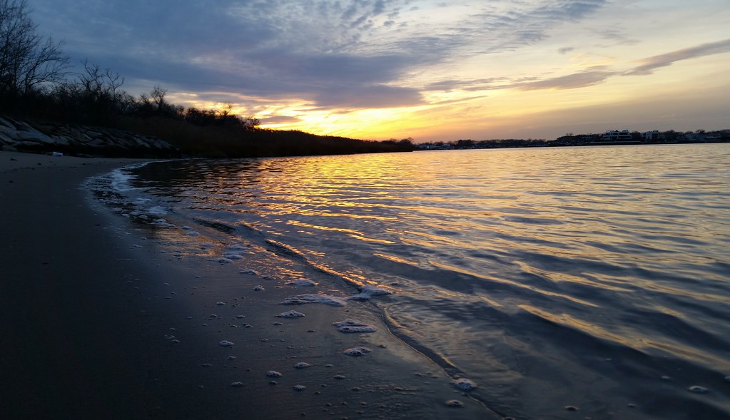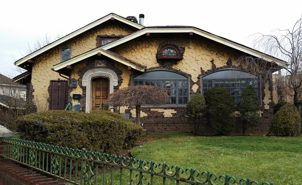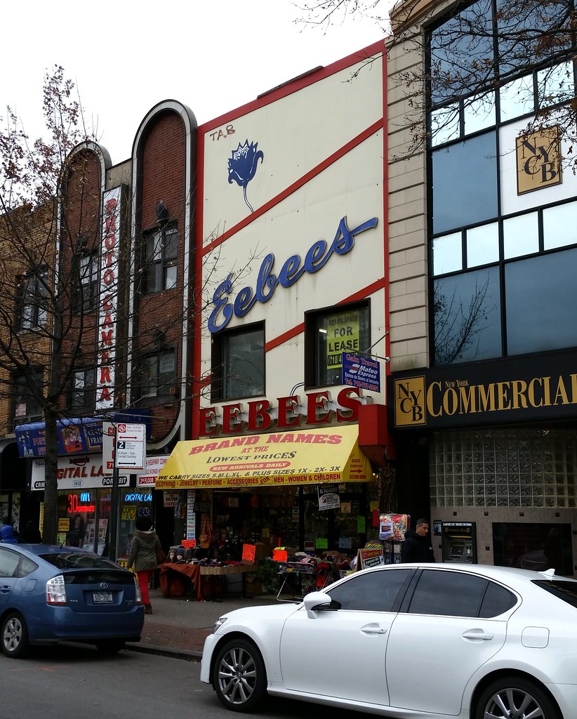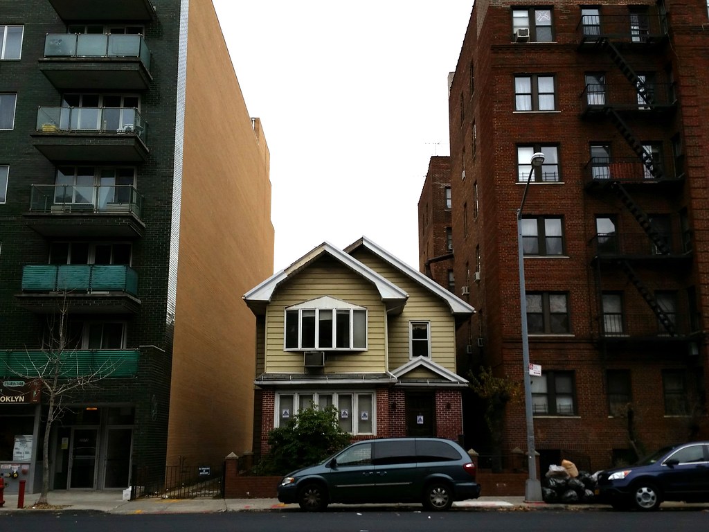

That's what a sign on the fence said. Here's the answer.
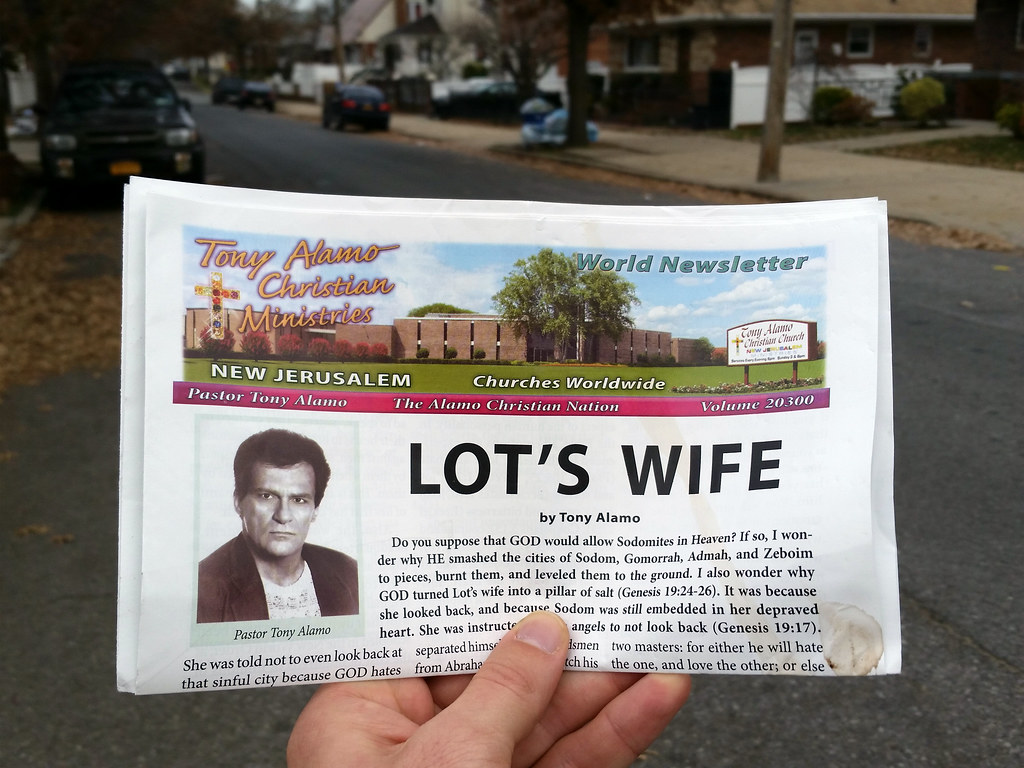
Another fine piece of literature from the holy pen of Tony "Consent is Puberty" Alamo (born Bernie Lazar Hoffman), the evangelist currently serving 175 years in federal prison for sexually abusing his child brides. I found this on the ground outside St. Anthony of Padua Roman Catholic Church; I wonder if followers of the anti-Catholic Alamo placed these newsletters on the windshields of all the cars parked at the church yesterday (Sunday).
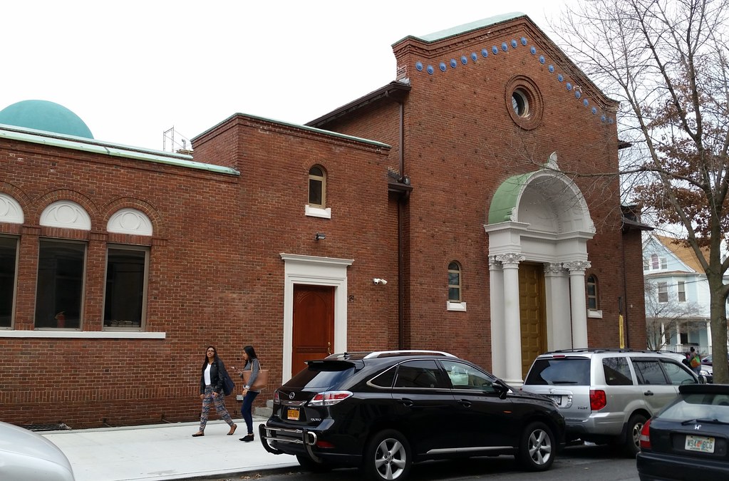
The former Richmond Hill Baptist Church was acquired in 2008 by the Islamic Unity and Cultural Center of Plav-Gusinje. According to the center's website (Google-translated from Bosnian to English), the building is in the final phase of its conversion into a mosque and Islamic school. The only outward sign of its new religious orientation that I saw was a crescent-topped dome added sometime after September 2011.
(I just realized this is the "nameless church" we saw back in early 2013.)
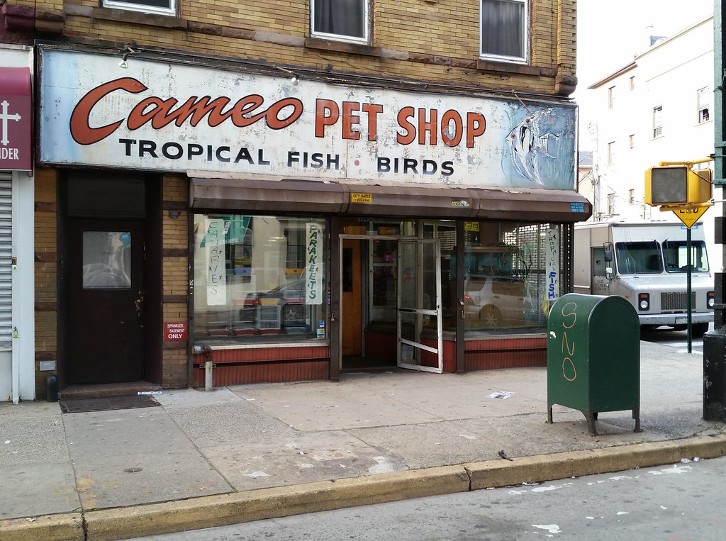
This is the former home of Buttkiss the fish (named for Dick Butkus), a black pacu who died at the reported age of 45 in 2011. According to the shop's owner in 2009:
We actually sold him in 1968 to a Holocaust survivor named Kurt Emerick. The fish was about two inches long at that time. But he got so big he was knocking things over in Kurt’s fishtank. Kurt didn’t like that. He was a perfectionist. So he brought him back here in a bucket. Later Kurt got hit by a bus on Metropolitan Avenue and died. But the fish is still here. I had just gotten back from Nam and I decided to keep him.
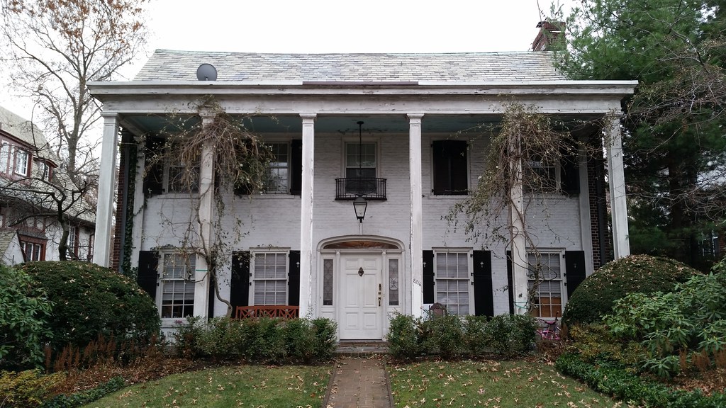
One of the many handsome dwellings found on the winding streets of Kew Gardens (bird's-eye view)
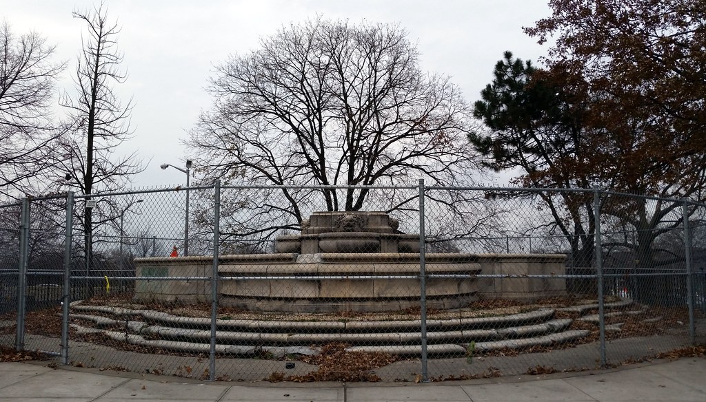
The last time we passed by this spot on Queens Boulevard beside Queens Borough Hall, the somewhat controversial and sexist sculpture known as Civic Virtue was standing here, as it had been since 1941 (when it got booted from City Hall Park, where it was unveiled in 1922). The statue has since been moved to Green-Wood Cemetery and restored, while the fountain it stood upon has been left to collect fallen leaves inside a chain-link fence. There is apparently a plan in the works, however, to spruce up the old fountain with plantings and a plaque dedicating it to the women of Queens.

"THE BOSS IS NOT HERE" reads the sign on the door in English, Hebrew, and Yiddish.
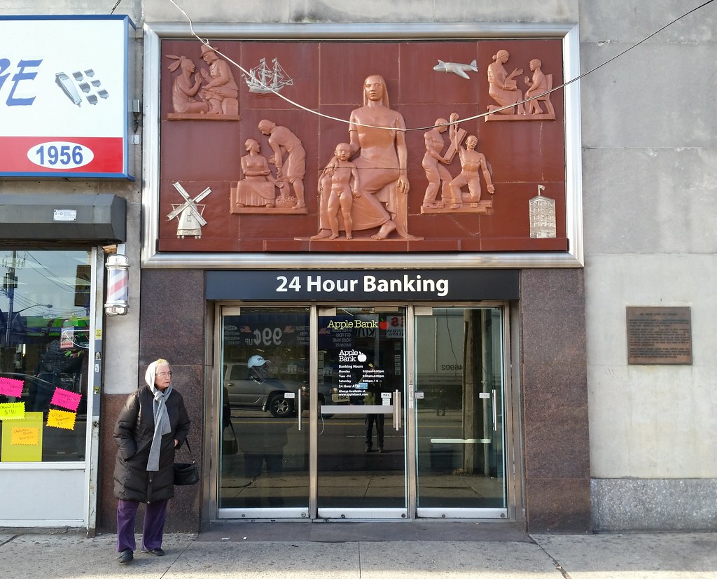
BAS-RELIEF ABOVE OUR ENTRANCE
THIS PICTURESQUE BAS-RELIEF IS A TRIBUTE TO THE THOUSANDS OF MOTHERS WHO, THROUGHOUT THE HISTORY OF THIS COMMUNITY, HAVE TAUGHT THEIR CHILDREN THE HABIT OF THRIFT.
FROM DUTCH COLONIAL DAYS . . . THE DAYS OF NIEUW AMSTERDAM WINDMILLS, INDIANS, MONEY CHESTS AND SAILING VESSELS . . . TO THE PRESENT DAY WITH ITS PUBLIC SCHOOLS, SKYSCRAPERS, GIANT PLANES . . . THE WOMEN OF THIS COMMUNITY HAVE KNOWN THE VALUE OF THRIFT. FOR TO THEM A SAVINGS RESERVE MEANT GREATER FAMILY SECURITY, PROTECTION, HAPPINESS AND THE MEANS WITH WHICH TO TAKE ADVANTAGE OF OPPORTUNITIES.
MONEY EARNED IN COLONIAL MARKET PLACES, CAREFULLY SAVED, FREQUENTLY PURCHASED THE LAND UPON WHICH TODAY'S SKYSCRAPERS, PARTIALLY FINANCED BY YOUR SAVINGS BANKS, HAVE BEEN BUILT. ALL THIS IS DEPICTED IN THIS BAS-RELIEF ABOVE OUR ENTRANCE.
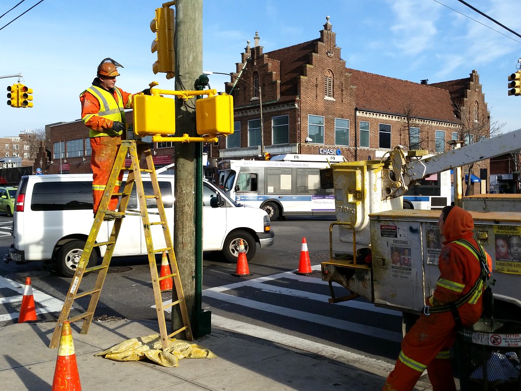
I've gazed upon a lot of pedestrian crossing signals in my day, but it never occurred to me that, every so often, someone might have to climb up a wooden ladder with a can of paint and a brush to repaint them.
(The Flemish Renaissance Revival building in the background is an old Midwood Trust Company bank branch.)
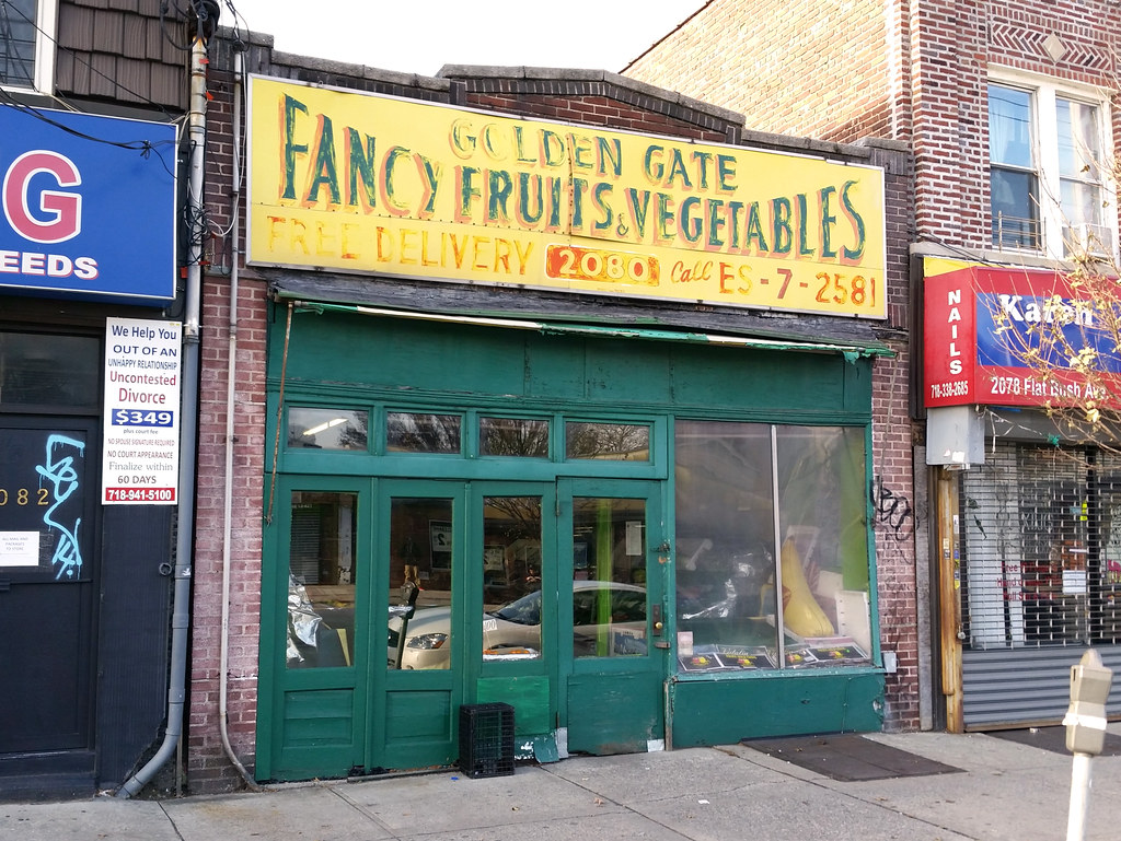
According to the store's Facebook page:
John Cortese's father started the Golden Gate as a fruit and vegetable cart on the streets of Brooklyn in 1939. It has been run by John Cortese ever since, with the help of his son and daughter, as a storefront in the Marine Park section of Brooklyn.Here's a peek inside.
(Note the old telephone exchange name in the phone number listed on the sign: ESplanade 7-2581.)
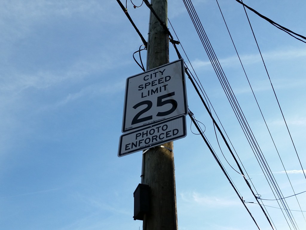
On November 7, the default city speed limit dropped from 30 to 25 miles per hour. As indicated by the lower sign above, the city also now uses speed cameras (which predated the 30-to-25 reduction) to aid in speed limit enforcement — specifically, to catch drivers going more than 10 miles per hour over the limit. By state law, the cameras can only be used in "school speed zones" (i.e., within a quarter-mile of a school on a street that abuts the school) during school hours and other times of student activity.
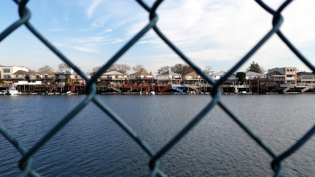
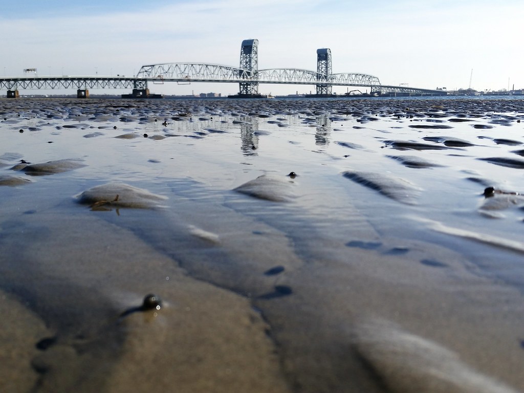
Looking across Mill Basin (the waterway) at Mill Basin (the neighborhood)
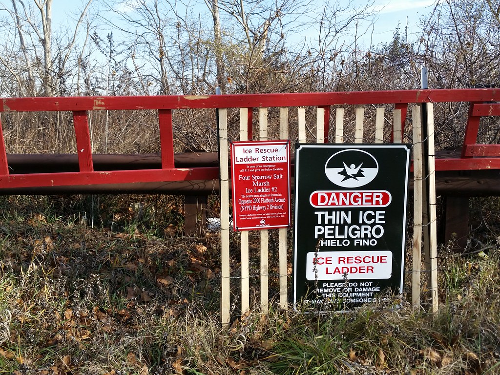
Thanks to the sign on this ice rescue ladder beside Flatbush Avenue, I now know there is a place in Brooklyn called Four Sparrow (Salt) Marsh, named for the sharp-tailed, seaside, swamp, and song sparrows that reside here.
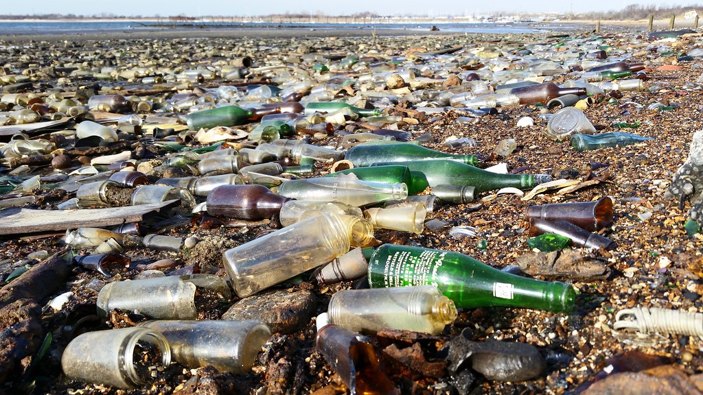
Many decades ago, Dead Horse Bay was a little finger of water protruding into Barren Island, the southernmost of a group of marshy islands that once lay off the coast of Brooklyn at the mouth of Jamaica Bay. Barren Island was infamous for the more than two dozen malodorous industrial enterprises that called it home over the years. According to the NY Times:
From the 1850's until the 1930's, the carcasses of dead horses and other animals from New York City streets were used to manufacture glue, fertilizer and other products at the site. The chopped-up, boiled bones were later dumped into the water. . . .The city stopped sending garbage to Barren Island in 1919. And as the automobile became more popular, "the number of horse carcasses in Dead Horse Bay dwindled . . . and by the 1920's only one rendering plant remained."
In the 1860's, fish oil plants were established along Dead Horse Bay. The oil was used to tan leather and mix paints and the scraps were used to make fertilizer. When the factories faded in the 1890's, the New York Sanitary Utilization Company was established to transform city garbage into grease, soap and fertilizer. The processing and horse-rendering industries, at their peak, supported a population of 1,500. Barren Island, however, had no public water, sewage system or fire department, and nearby communities complained endlessly about the horrendous stench of its factories.
In the late 1920s, to create a site for Floyd Bennett Field, the city's first municipal airport, Barren Island and its neighbors were transformed into a peninsula, connected to each other and the Brooklyn mainland (a.k.a. Long Island) with millions of cubic yards of sand pumped up from Jamaica Bay. The airport opened in 1931, and the final rendering plant on what had been Barren Island closed around the same time.
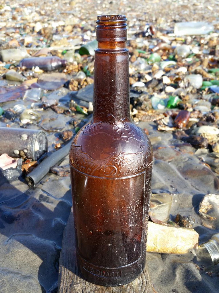
According to Robin Nagle, the anthropologist-in-residence at the Department of Sanitation, the bottles and other items lying on the beach of Dead Horse Bay (the name has lived on even as the geography has been radically altered over the years) were dumped there in 1953:
All this stuff got here when Robert Moses was expanding the landfilling of garbage around the city, which was especially urgent after the United States Supreme Court told New York it could no longer dump garbage at sea, which we had been doing for centuries. That Supreme Court order took effect in 1934. From that point forward, we started building landfills and incinerators all over the city. Everything we see here was placed here sometime between early February and mid-March of 1953, and it's all from somewhere in Brooklyn — I'm not exactly sure where yet, but I'm working on that — and these are homes, the debris from homes that were razed to make way for various forms of urban renewal and highway construction.Howard Warren, who has been visiting the shoreline of Dead Horse Bay (now part of Gateway National Recreation Area) since 1987, says he didn't start seeing debris emerging on the beach until 1991, but now more and more of the old landfill is being uncovered every day.
You can read a little about life on Barren Island here, and see some old photos of the place here. A lengthy 1899 Brooklyn Daily Eagle article about the island (part 1, part 2) offers an enthusiastic report on the garbage-processing and animal-rendering plants, from which I have excerpted the following:
Not many of the millions of persons who make up the throngs on New York's thoroughfares know that there is gold in the garbage they see scattered over the streets and lying in the gutters. Fewer still know the method by which the gold is extracted. To the average member of the great public the banana peels, watermelon rinds, dirty rags, tin cans, rotted fruits and decaying vegetables are simply parts of a great nuisance. They are of no value and only of importance because they are an offense to both the senses of sight and smell and a menace to the public health. . . .
But this same garbage is worth $2,000,000 a year. That is very nearly the exact sum annually realized from the filthy stuff after it has passed through the plant of the New York Utilization Company, which disposes of all the garbage of the City of New York. Two big twin factories on the extreme eastern end of Barren Island convert the kitchen refuse and vegetable matter into commercial commodities and two other plants near by, but under a different management, take the putrid flesh of all the animals that die in the city and make it into some of the most valuable articles of daily use.
High priced commodities for the market are manufactured from the mass of reeking filth that is daily gathered from the streets and from the back yards of the New York residents. Costly toilet soap that is advertised as being made from purely vegetable oils is manufactured from this garbage. The finest of lubricating oils on the market are made from the carcasses of the dead animals. Candles that burn in golden candlesticks are molded from grease that is pressed out of the city's refuse. Fresh vegetables on the table to-day were given their flavor and nutritious qualities by fertilizers manufactured from the refuse of vegetables that were on the table a year ago. The dirty rags picked up with the street garbage and gathered with the kitchen slops are sold again from the stationery stores as white paper and discarded tin cans are melted to be used in a part of the construction of the finest mansions in the city.
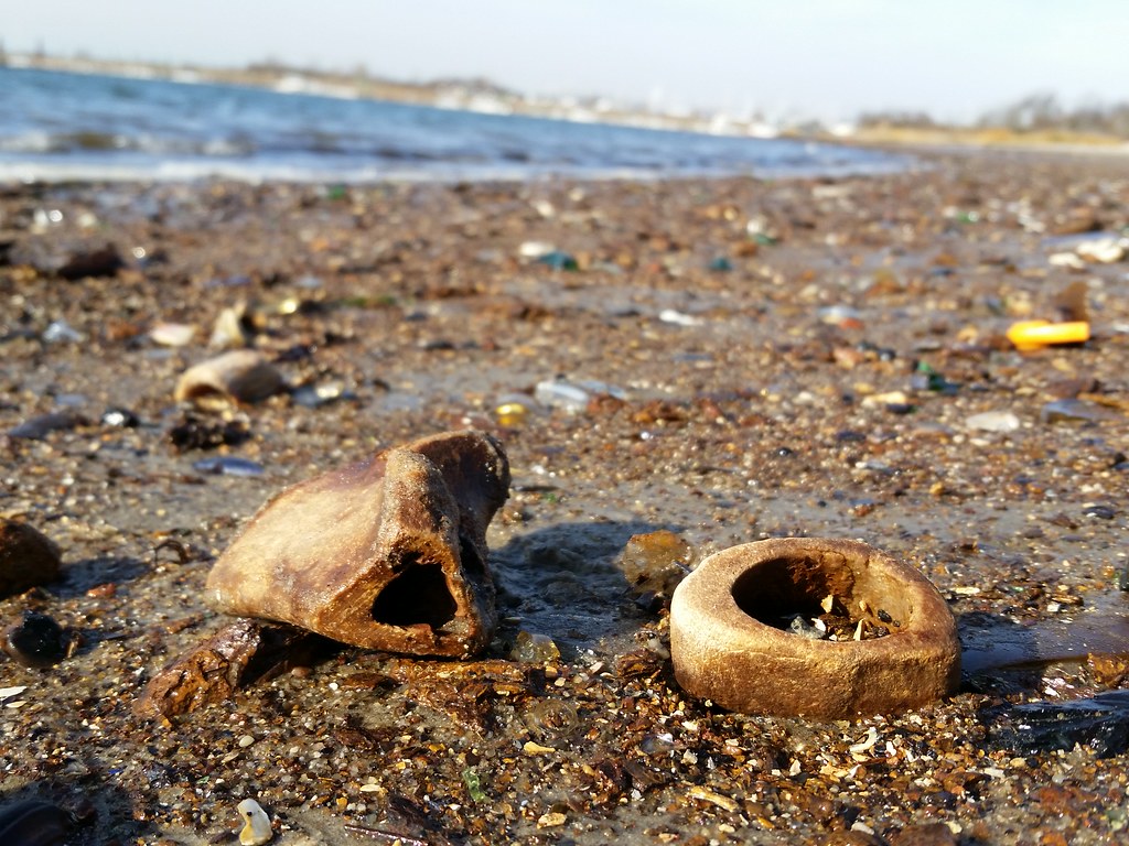
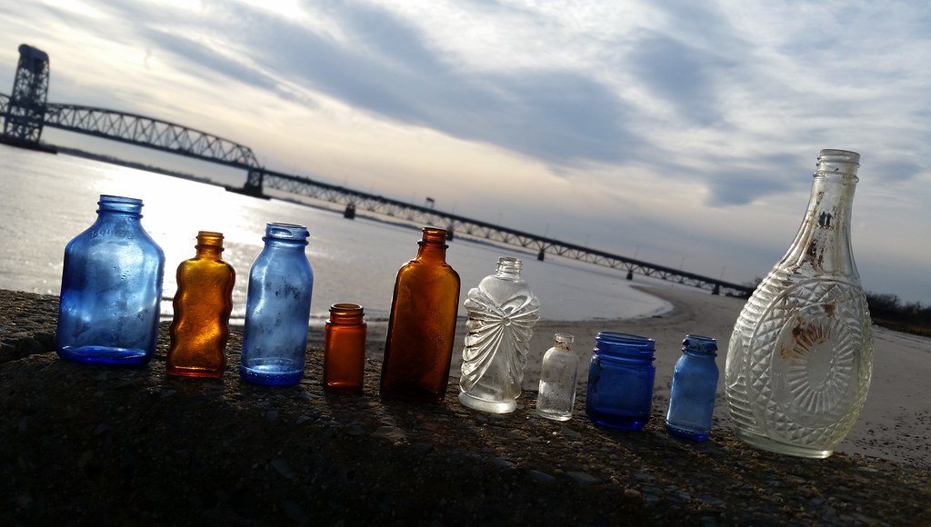
Here on the beach of Dead Horse Bay, I found quite a few small pieces of bone, presumably the "chopped-up, boiled bones" of the horses and other animals that were processed at the nearby rendering plants on old Barren Island.
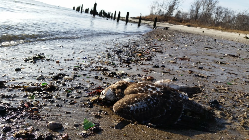
Barren Island was once the place to be for the city's dead animals.
(I believe this is a juvenile red-tailed hawk.)
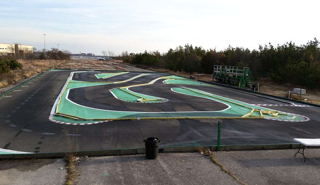
Floyd Bennett Field, the city's first municipal airport, is now part of Gateway National Recreation Area. The defunct airport is used for a wide variety of activities; it's currently home to, among other things, a public campground, an expansive community garden, an enormous sports and recreation center, the NYPD's aviation and driver training units, the Historic Aircraft Restoration Project, a model airplane field, and, as evidenced above, a racetrack for radio-controlled cars. Look at those little cars go!
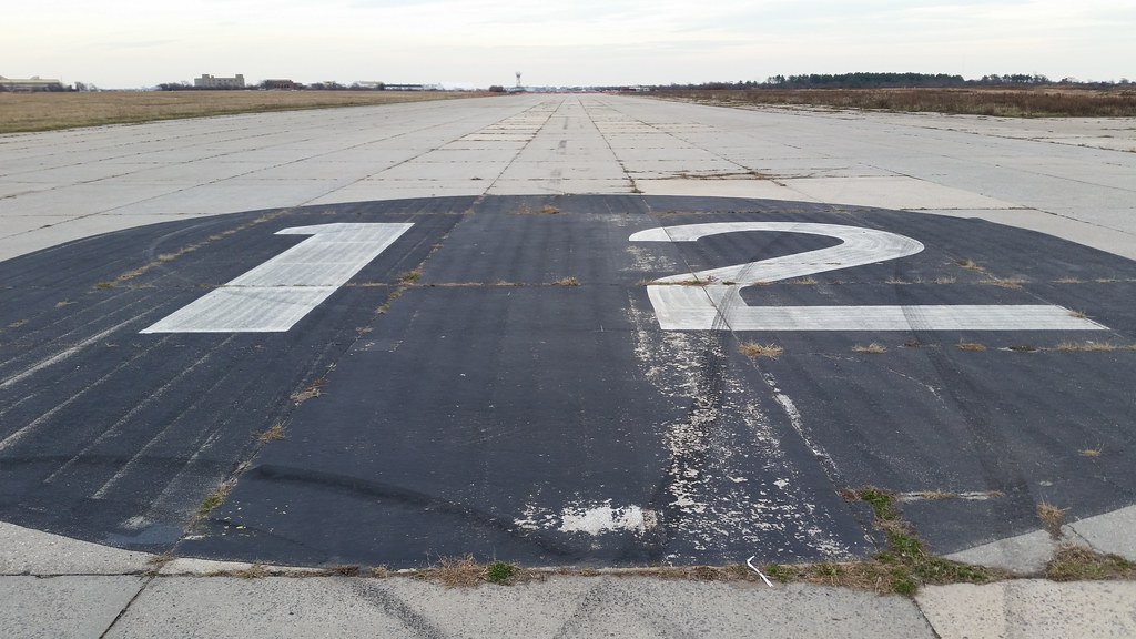
Brooklyn's Floyd Bennett Field, opened in 1931 as the city's first municipal airport, was a bust as a commercial airport — it was farther from Manhattan than Newark Airport and was unable to usurp Newark's role as the city's airmail terminus — but it proved popular with many notable aviation pioneers, and the list of historic flights that took off and/or landed at Floyd Bennett is quite lengthy. Among the big names to grace the runways here were Amelia Earhart, Wiley Post (first solo round-the-world flight, 1933), Howard Hughes (record-breaking round-the-word flight, 1938), and John Glenn (first transcontinental supersonic flight, 1957).
Floyd Bennett was also the origin of Douglas "Wrong Way" Corrigan's legendary 1938 trip to Ireland. Because of safety concerns, Corrigan was unable to obtain permission from the authorities for a cross-Atlantic flight in his jury-rigged "flying jalopy". When he took off on the morning of July 17, 1938, he was supposed to be heading for California, but when he touched down 28 hours and 13 minutes later, he was in Dublin.
From the NY Times:
"I'm Douglas Corrigan," he told a group of startled Irish airport workers who gathered around him when he landed. "Just got in from New York. Where am I? I intended to fly to California."The name of the runway (12) pictured above indicates its orientation in tens of degrees relative to magnetic north. A plane taking off in the direction we're looking would be heading approximately 120 (12 x 10) degrees clockwise from magnetic north, or at least from where magnetic north was when the runway was named.
Although he continued to claim with a more or less straight face that he had simply made a wrong turn and been led astray by a faulty compass, the story was far from convincing, especially to the American aviation authorities . . .
Although half a dozen well-known pilots, among them Amelia Earhart and [Wiley] Post, had made solo flights across the Atlantic since Lindbergh had blazed the trail in the Spirit of St. Louis in 1927, none struck such a chord with the American people as Mr. Corrigan did.
That was partly because he was seen as an engaging and impish young pilot who had boldly thumbed his nose at authority, then baldly denied it, and partly because he had made the flight not in a state of the art aircraft with cutting edge instruments, but in a rickety plane so precariously patched together that it was variously dubbed an airborne crate and a flying jalopy.
Among other things, Mr. Corrigan, who had bought the plane in New York as a wreck for $310 in 1935 and nursed it cow pasture by cow pasture back to California, had ripped out the original 90-horsepower engine and replaced it with a 165-horsepower model cobbled together from two old Wright engines. He had also installed five extra fuel tanks, which completely blocked his forward view, and various parts, including the cabin door, were held together with baling wire.

on a hiking trail in the North Forty Natural Area at Floyd Bennett Field
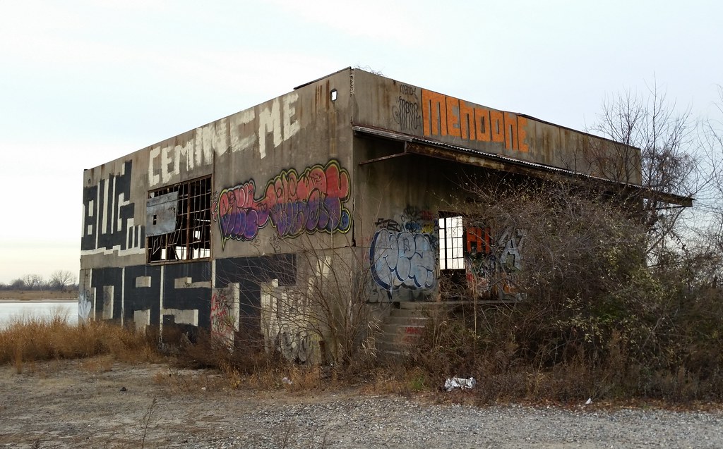
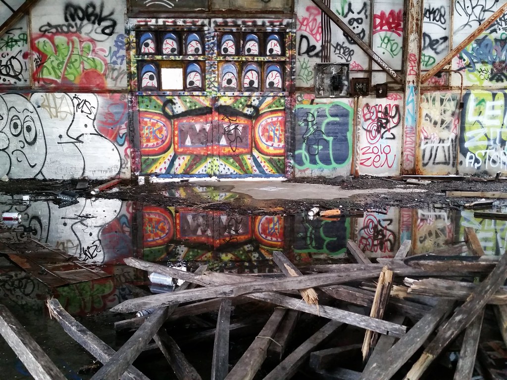
Floyd Bennett Field became a naval air station in 1941, and this abandoned structure in the North Forty Natural Area was erected by the Navy as an "inert storage building" in the World War II-era ammunitions-communication area of the airport.
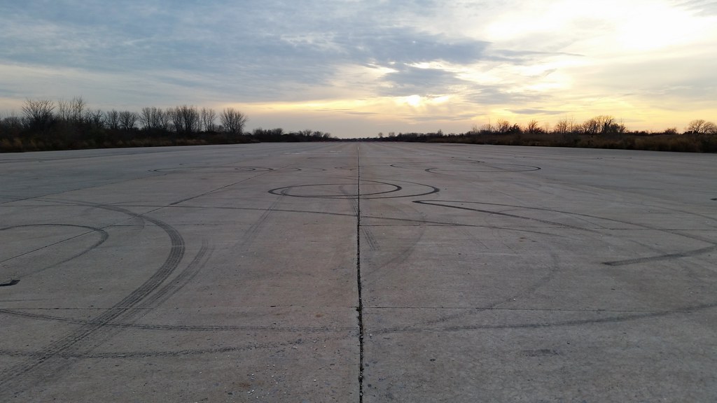
It's not unusual to see people screwing around with their cars on the runways of Floyd Bennett Field.
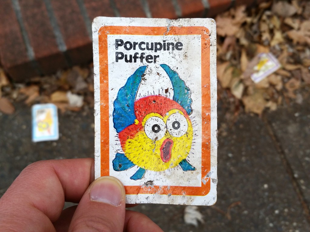
This is apparently from some fish-related card game called "Fish Card Game".

