
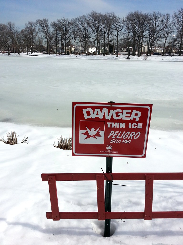
at one of the city's oldest stormwater Greenstreets.
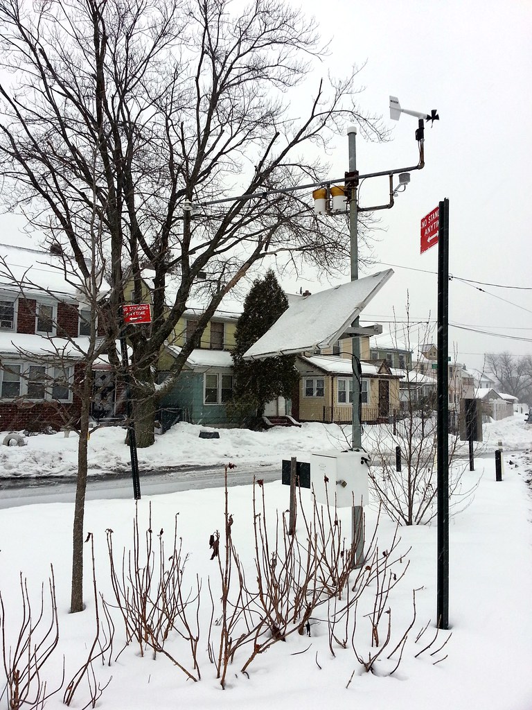
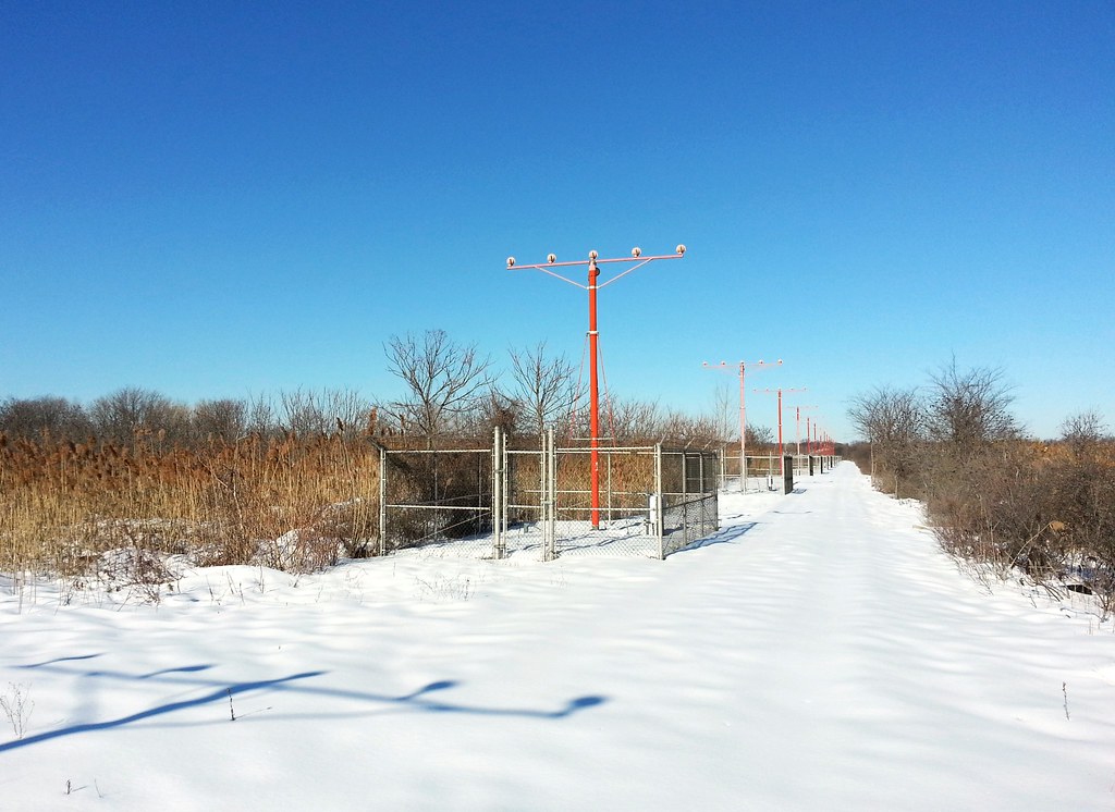
How does this fancy doodad work? Well, if the weather station is white... that means it's snowing.
"I knew we shoulda taken that left turn at Albuquerque."

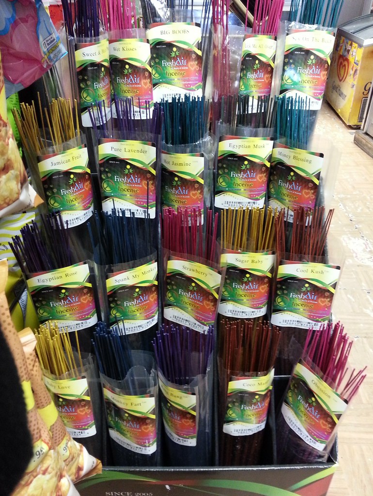
Some old scents, some new. The ever-popular BIG BOOBS makes another appearance, while Monkey Fart looks to have overtaken Gorila Burp as the mammalian gaseous emission of choice.
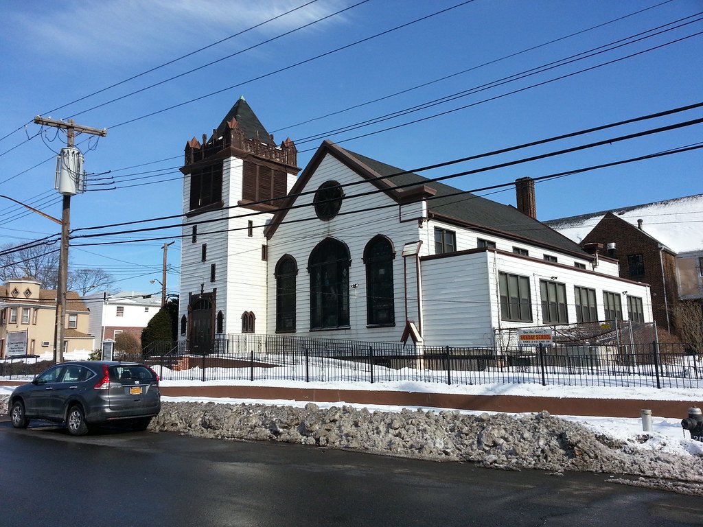
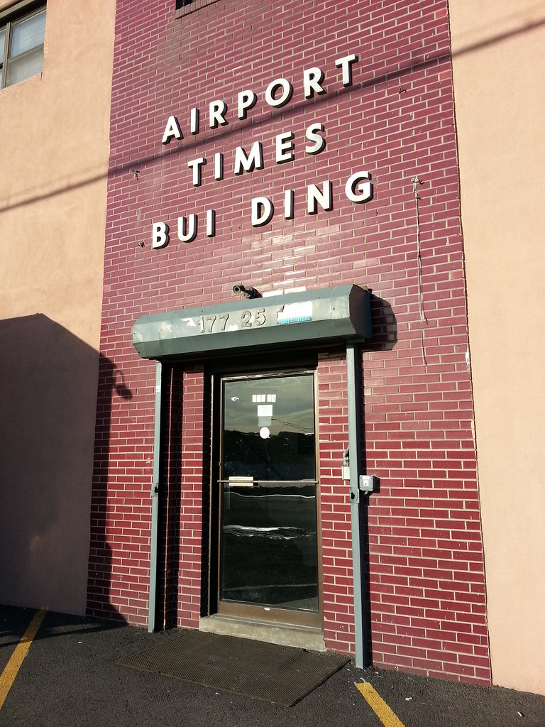
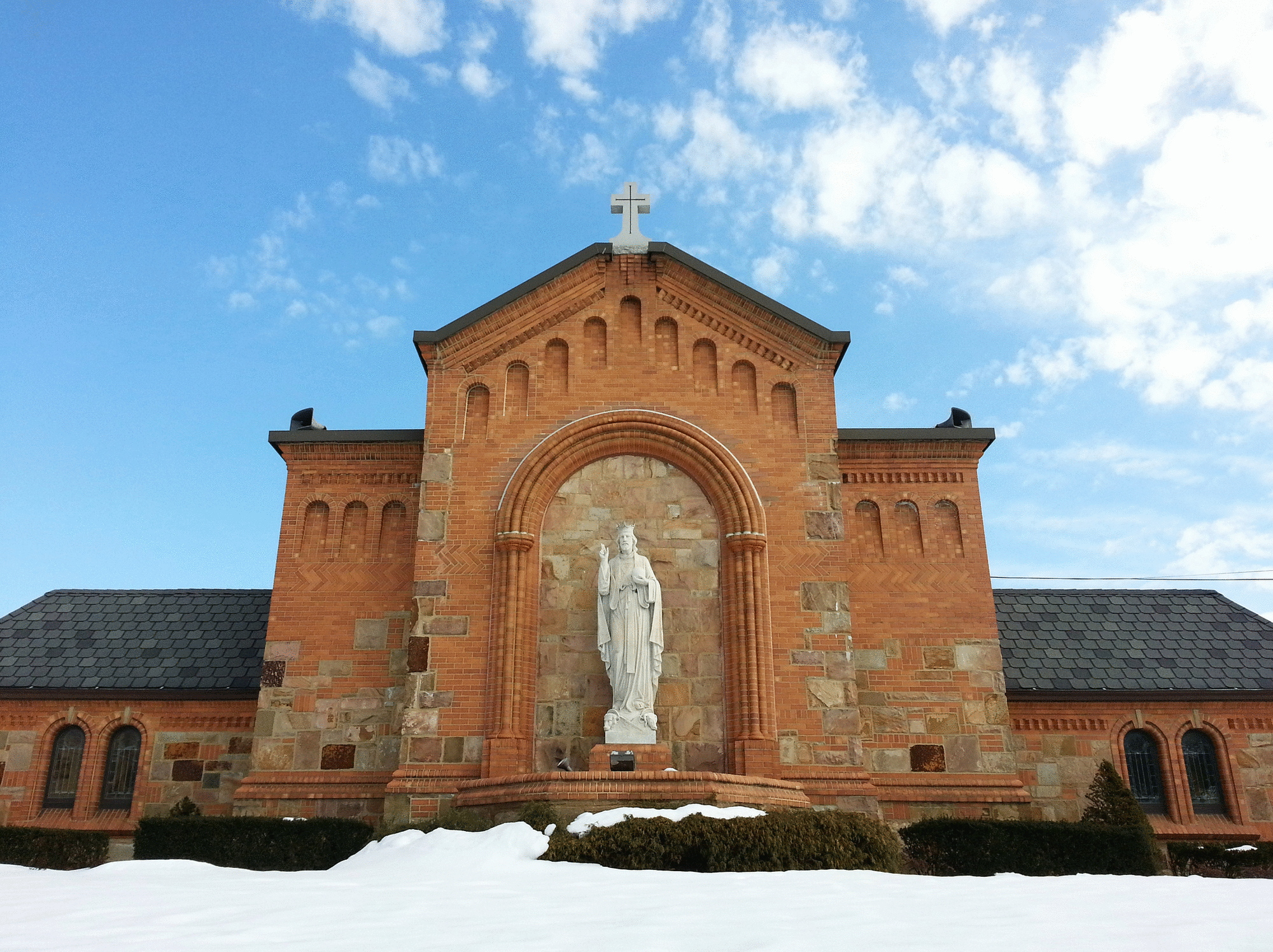
This building was dedicated in 1906. You can see some interior shots here.
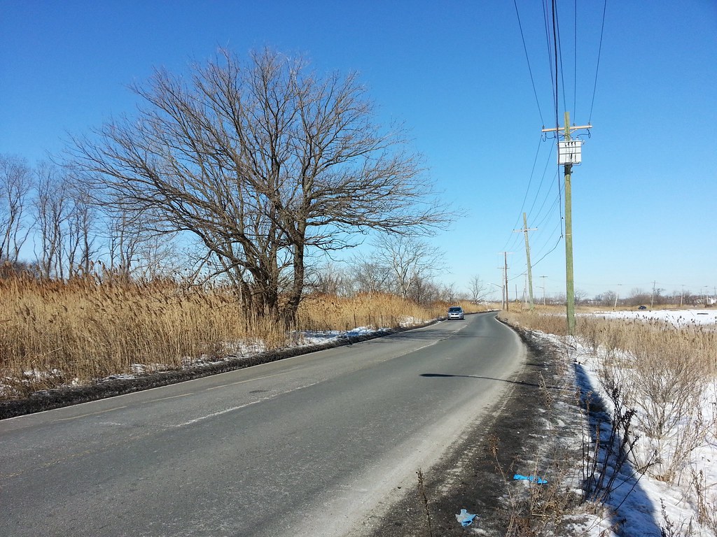
This isolated section of Brookville Boulevard, winding nearly a mile through the wetlands of Idlewild Park Preserve at the edge of New York City, is known as Snake Road to locals. This aerial view gives you a good sense of the area's unique geography.
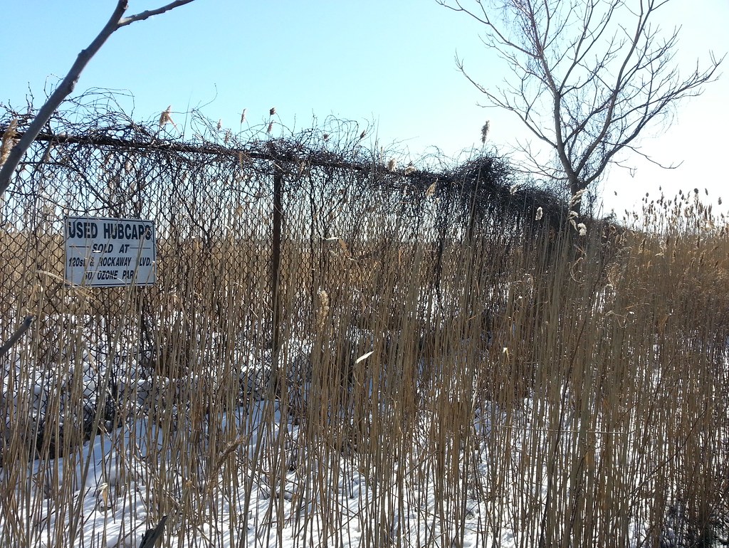
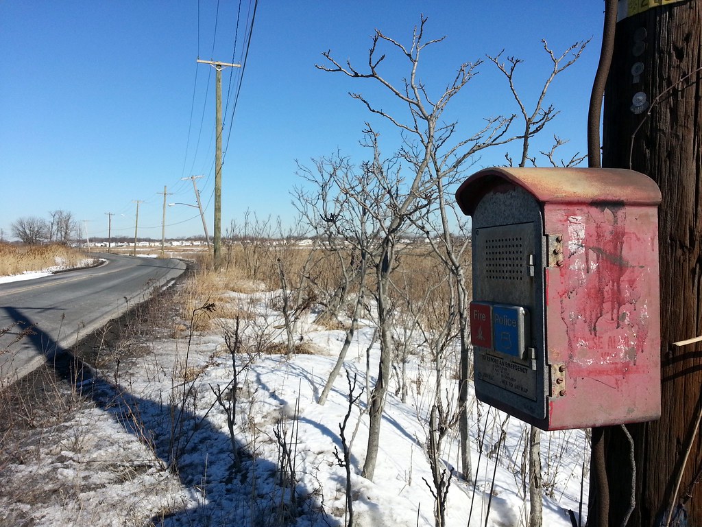
Sold at 120th Street and Rockaway Boulevard; perplexingly advertised in small type on a marshland fence that runs alongside Snake Road. Check it out in Street View.
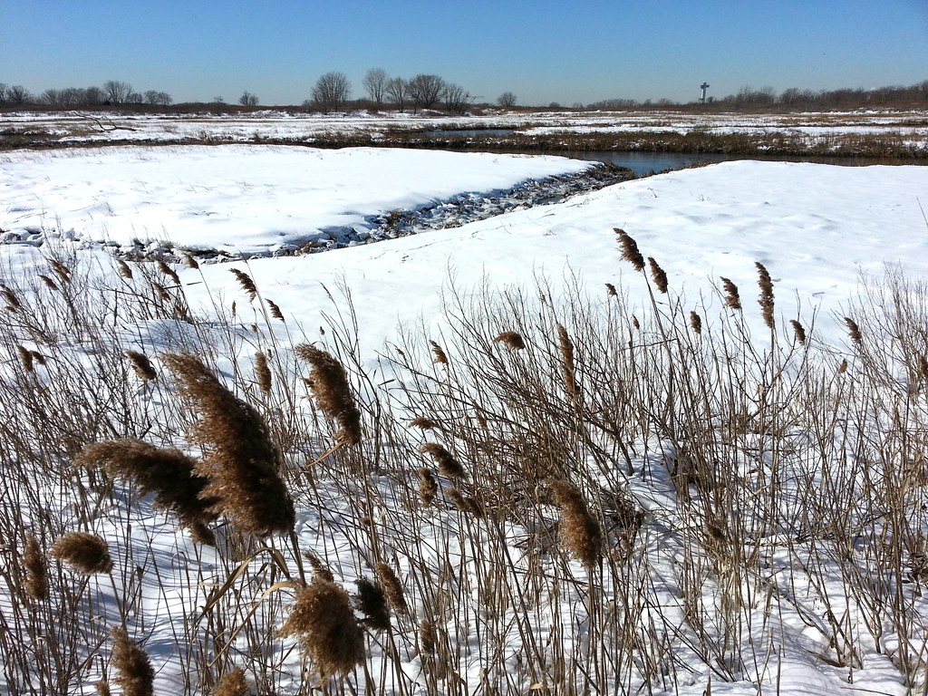
Idlewild Park Preserve preserves the name of Idlewild Airport. (The airport's name was officially changed to New York International Airport before it opened, but it was still popularly called Idlewild.) In late 1963, after the assassination of John F. Kennedy, the airport was renamed in his honor. Looking out over the marsh here, you can see the JFK air traffic control tower off in the distance.
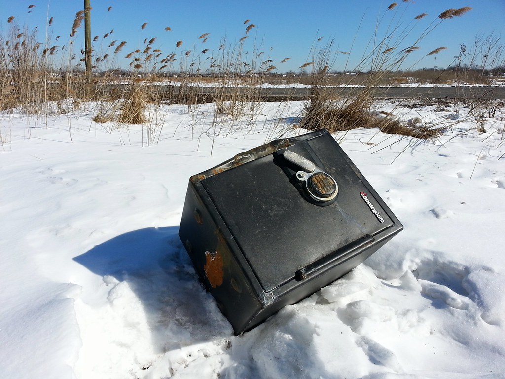
A brief forensic investigation concluded that this safe has been sitting here beside Snake Road since before the snow fell, but was recently moved, perhaps in a failed bid to liberate its contents. A closer look reveals at least one unsuccessful attempt to pry the door open.
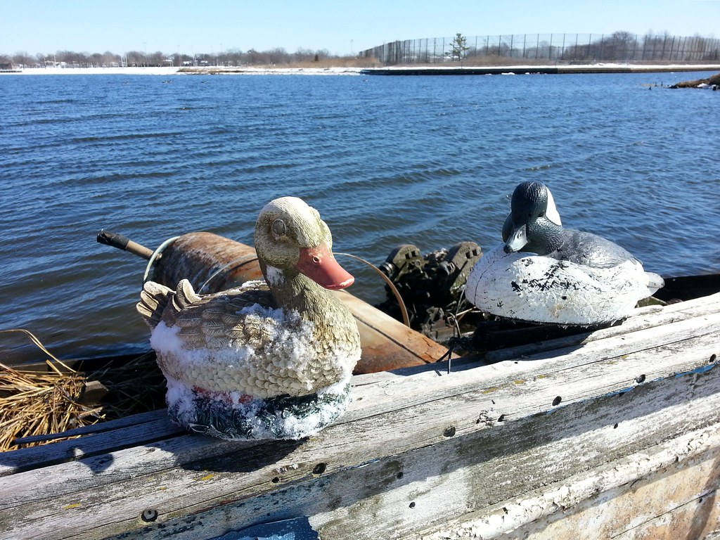
Land duck 'n' water duck, found by the remains of an old boat in the marsh
)
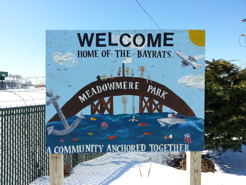
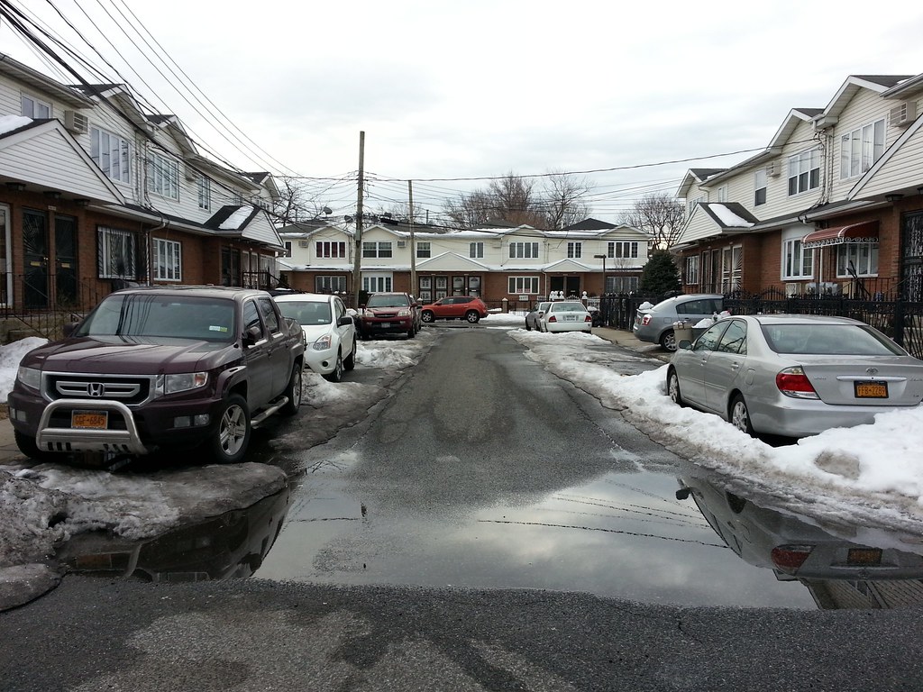
This forgotten little fork of a neighborhood, along with nearby (and equally obscure) Meadowmere, is hidden away at the eastern edge of Queens, cut off from the rest of the city by water and marshlands. The two tiny communities didn't even have sewers until just a few years ago. (To get a better understanding of the crazy city boundary in this area, check out today's route map and zoom in on the lower right part of the map. The shaded areas are Nassau County, while the rest is NYC. The border is a little crudely drawn, but it gets the point across.)
The treed property visible on the other side of Thurston Basin is part of JFK Airport, which explains the two otherwise out-of-place-seeming signs mounted on posts in the water, visible midway through the video. The signs read "KEEP OUT SECURITY ZONE".
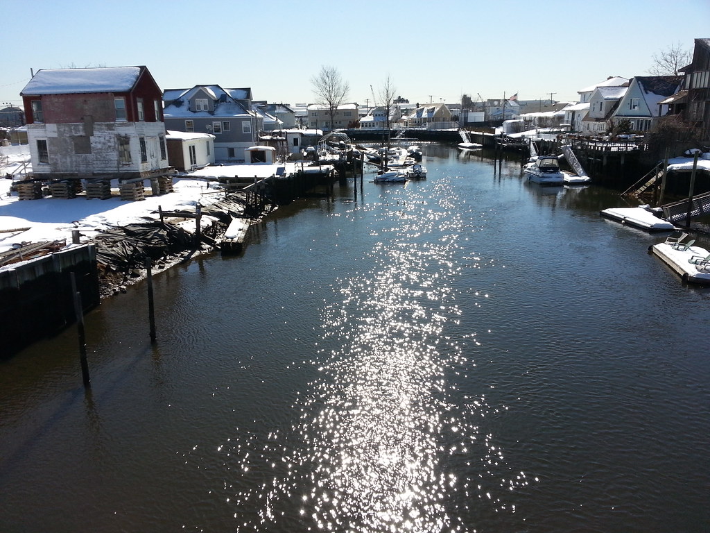
Standing at the edge of New York City, I'm taking this photo from the wooden footbridge over Hook Creek that connects Meadowmere, Queens (on the left) with Meadowmere Park, Nassau County (on the right). These two tiny neighborhoods, nestled together with each surrounded almost entirely by the other's county, constitute something of a geographical yin and yang. This map will help you understand what I'm talking about; the dashed line is the city boundary, with Queens generally to the north and west and Nassau to the south and east.
The story of this area has long been that Meadowmere Park is the nicer neighborhood, with its well-paved streets and sewers and tidy lawns, while Meadowmere is largely forgotten by NYC, its low-lying streets more susceptible to flooding and its general appearance more ragged. (The city didn't actually have title to its streets until 1995.) Recently, however, the city has started paying some attention to Meadowmere, finally building sewers in the neighborhood a few years ago.
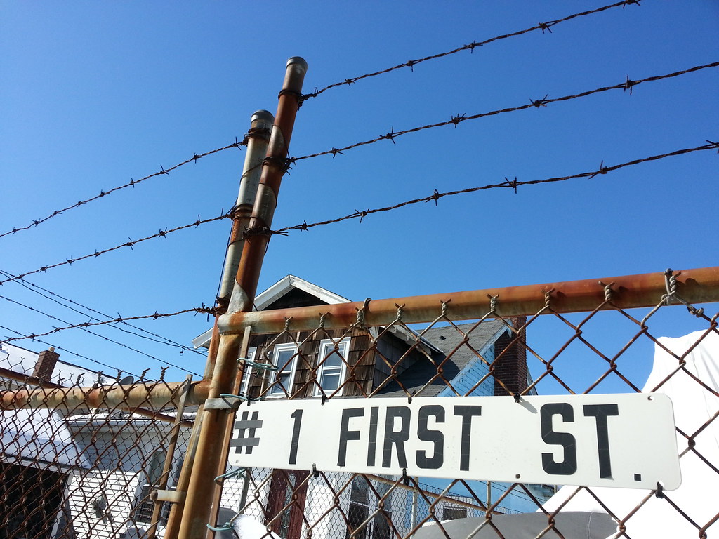
This sign is a good indication of how isolated the community of Meadowmere is. It's one of the very few places in Queens where the borough's standard hyphenated addresses are not used. And the street numbers (1st through 3rd) are an anomaly as well. Starting a century ago, a single massive, messy street grid was imposed on almost all of Queens, with the notable exception of the Rockaway Peninsula, which has an independently numbered set of streets. But there are still a couple of renegade pockets of the borough that have their own street numbers, and Meadowmere is one.
The street pictured above is one of three different First (or 1st) Streets in Queens. The one that belongs to the borough-wide grid is in western Astoria (map), and there is another in the almost-as-obscure-as-Meadowmere neighborhood of Ramblersville (map). Interestingly, while there's no Second or Third Street in Ramblersville, 102nd Street and 104th Street (and a handful of avenues/drives/roads) from the main Queens grid do manage to sneak in and mix it up with their low-numbered cousin.
Depicted above are a couple of features already familiar to us: the wooden footbridge connecting Meadowmere Park to Meadowmere (a popular summertime diving spot for neighborhood kids) and an airplane screaming overhead.

That's some World Trade Center steel at left, but this doesn't count in my official 9/11 memorial tally since it's in Nassau County.

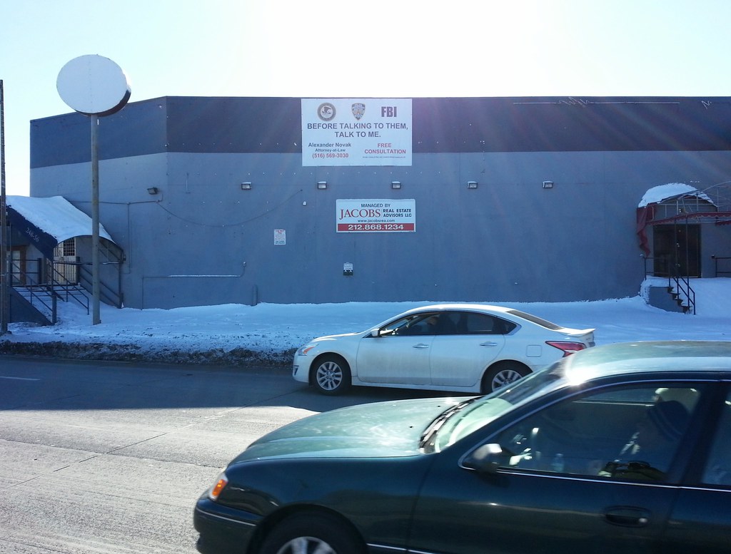
Before talking to them (the Department of Justice, the New York Police Department, and the FBI), talk to me.
Built out into the wetlands north of the airport. Compare to what we saw at LaGuardia.

The Engine 311/Ladder 158 firehouse stands at the northeast corner of Springfield Park (map), a lovely green space with a stream running through it and a pond in the middle. This building brings to mind the nearby Engine 314 firehouse located at the northeast corner of Brookville Park, another streamy/pondy park (map). In fact, the locations of the firehouses relative to their respective parks are so similar that I initially thought I was looking at the same firehouse we saw earlier, even though I remembered there was a different mural painted on the door.
I can't find anything to confirm this, but I'd guess the proximity of these firehouses to the parks is not a coincidence. Until fairly recently, southeastern Queens relied on local wells for its water supply, so perhaps it seemed like a wise idea back in the 1920s (when this firehouse was put up) to build firehouses near bodies of surface water that could be used as backup, or maybe even primary, sources of water for the fire engine tanks. (At that time, I believe these ponds were still being used to feed the Ridgewood Reservoir, which supplied water to Brooklyn until 1959.) A third similar park in the area, Baisley Pond Park, does not appear to have a firehouse located particularly close to it, however, so maybe I'm just full of crap.
And I suppose it's also possible that the firehouses were built on city land simply as a cost-saving measure, with the nearby water playing no role in the decision.
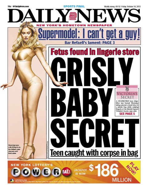
I saw a paper delivery guy pull up to this house in a car with "UniversalMaids.com" emblazoned on the side, take one step out of the car, and lackadaisically chuck a copy of the Daily News in the general direction of the yard. It landed right in the middle of one of these bushes, making it almost invisible (close-up). The guy contemplated the situation for a moment before deciding it would be best to just move on to the next house and refrain from doing any extra work. Odds are he was just lazy, but perhaps he had realized that these people would undoubtedly be better off not reading the Daily News. (I ultimately decided to leave the paper hidden in the bush for that same reason.)

After years of successful implementation in Staten Island, the city is now developing Bluebelts — which use natural drainage corridors rather than conventional sewer systems to manage stormwater — in Queens. Street reconstruction for the Springfield Gardens Bluebelt was in full swing today.
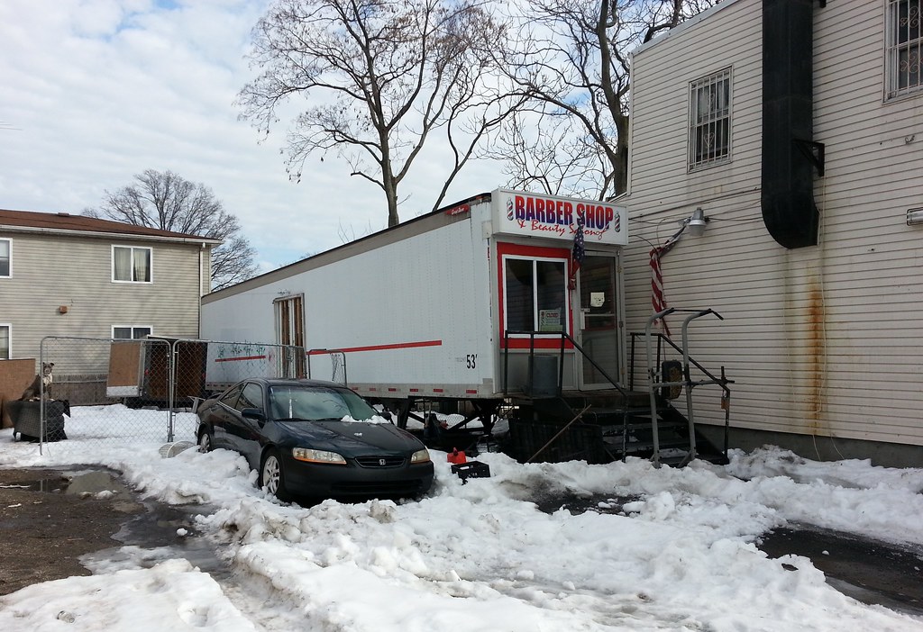

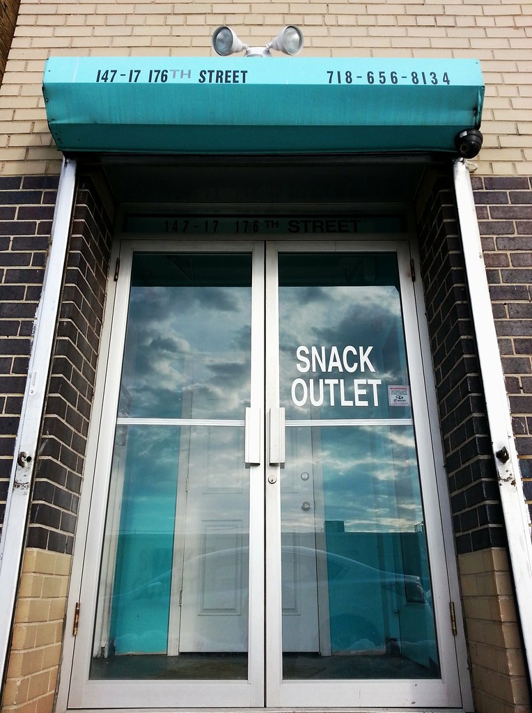
It seems like this place offers it all. There's only one thing missing — the address! There's nowhere near this sign that looks like it offers these services (take a look for yourself), and there's no indication on the sign where one might go to partake of them.

Every borough has at least one street named Broadway. Queens's main Broadway runs about four miles between Long Island City/Astoria and Elmhurst, but this block-long private street also carries the Broadway appellation. There's one other Broadway in Queens that I know of, a dinky little stretch of pavement out in Ramblersville.


The plaque above, dedicated here on City College's South Campus in 1959, reads:
To this Remembrance Rock has been brought precious earth from the battlefields of Gettysburg, San Juan Hill, Argonne Forest, Normandy Beach and Korea to memorialize the gallant boys of Alma Mater who died in our wars. Here also has been placed soil from City Hall, the old 23rd Street building and the crowded tenements of our city to symbolize the gratitude of all those students who here received a free college education. May Remembrance Rock ever serve as a place for alumni of the City College to come to, pause and remember.There's another nearby plaque, added to the rock in 1999, commemorating the decision of the city's public university system (CUNY) to adopt an open admissions policy in 1969, a decision spurred by the takeover of City College's South Campus that same year by more than 200 mostly black and Puerto Rican students protesting the college's lack of diversity.
(The two glass-clad structures rising in the background, still under construction but mostly complete, are CUNY's Advanced Science Research Center and City's College's Science Building.)
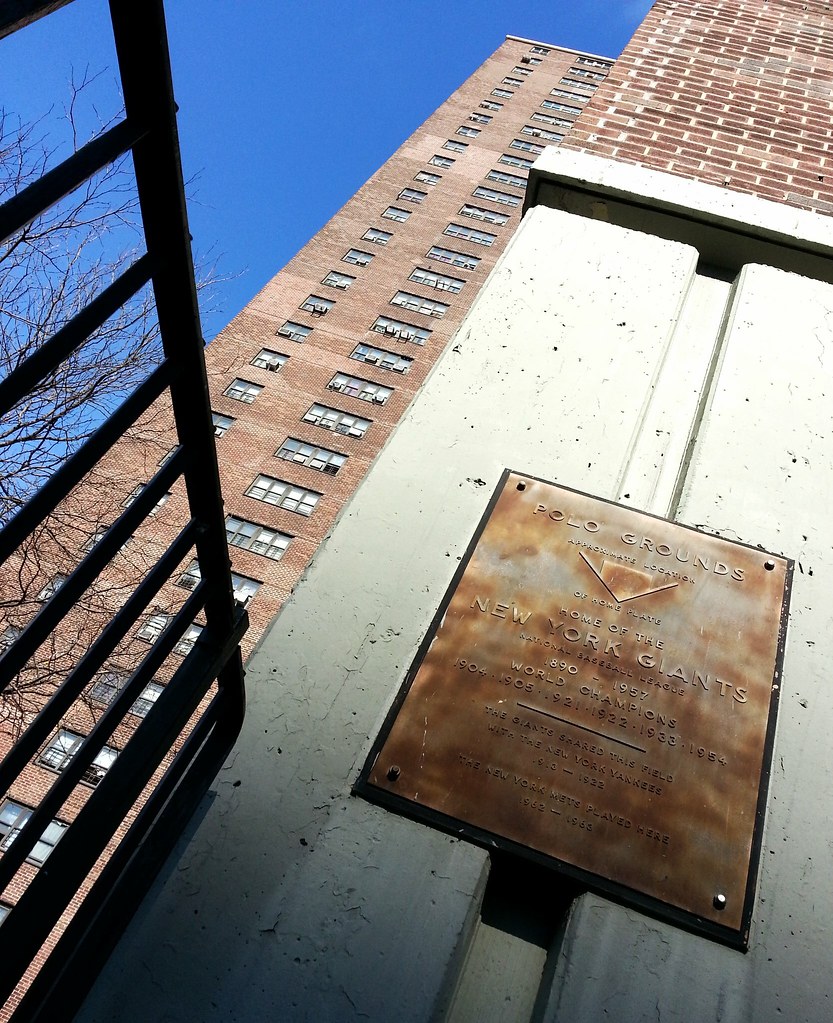
Here's a close-up of this plaque found at today's Polo Grounds Towers, built on the former site of the Polo Grounds.
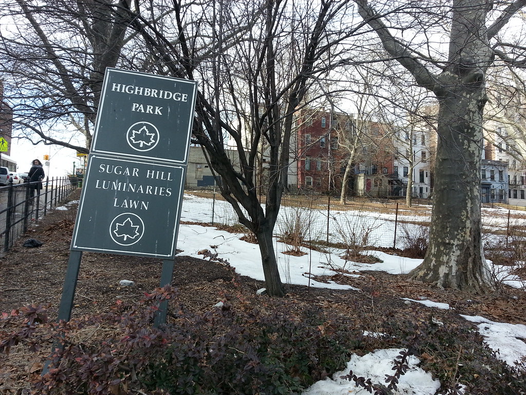
This triangular section of Highbridge Park commemorates the many prominent African-Americans who made their homes in Sugar Hill during the 20th century. According to the Parks Department:
Residents included such political reformers as W.E.B. DuBois, founder of the National Association for the Advancement of Colored People (NAACP), Walter White, secretary of the NAACP, and the Reverend Adam Clayton Powell Sr. Musicians and performers such [as] Paul Robeson, Cab Calloway, Duke Ellington and Billy Strayhorn also lived here. The field of arts and letters was represented by Langston Hughes, Ralph Ellison, Aaron Douglas and William Stanley Braithwaite. Professionals included Thurgood Marshall, the first African-American U.S. Supreme Court justice.

