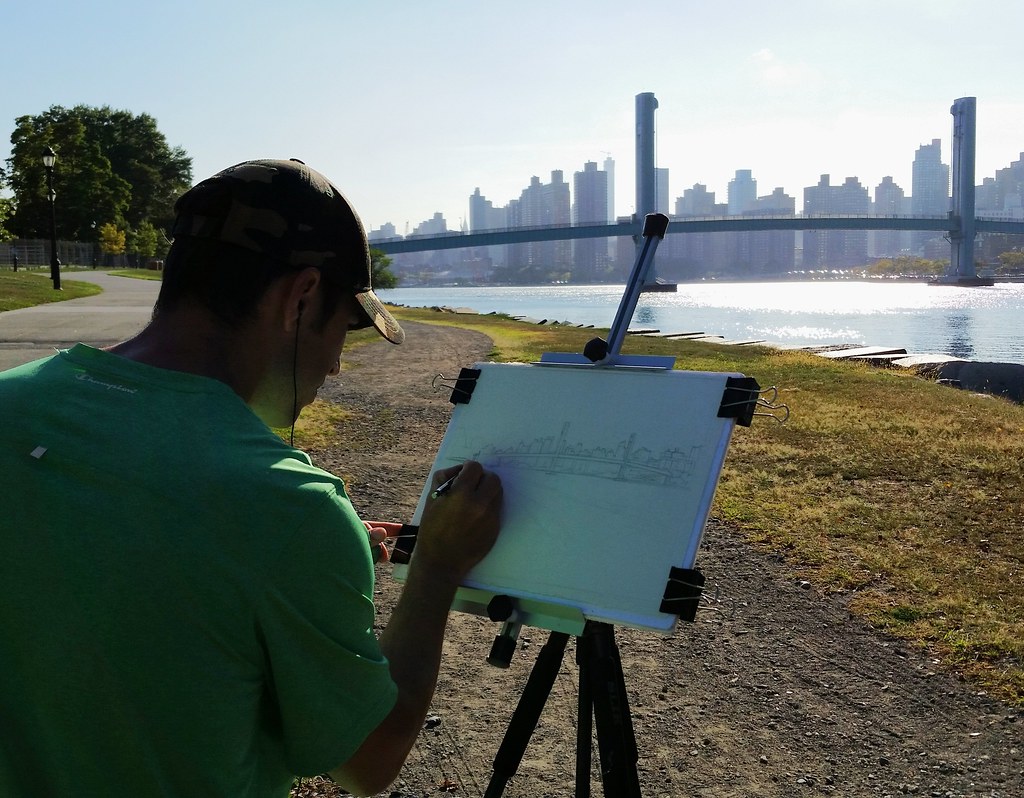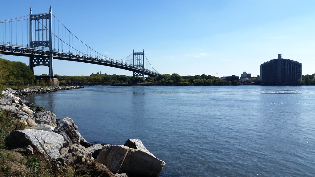
The most eye-catching part of the Triborough complex, this suspension bridge connects Queens and Wards Island over the Hell Gate channel of the East River. And speaking of eye-catching, the behemoth at right is Astoria's Shore Towers.

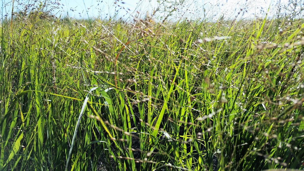
The Hell Gate Bridge, seen here from the native plant garden in Wards Island Park, was painted a deep red in the 1990s. But the paint was defective and started fading before the job was even complete, leaving the bridge with the pale, patchy appearance it still boasts today.
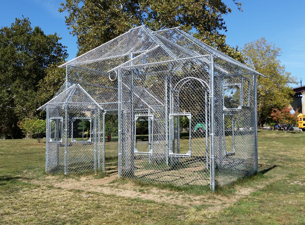
Overlooking a nearby baseball field, this sculpture "translate[s] the vernacular of the baseball backstop into an ethereal and slightly surreal contemplation of the American home."

In 2001, an NY Times reporter informed Henry Stern, the city's parks commissioner at the time, that the southern tip of Wards Island, in Wards Island Park, was labeled Negro Point on official nautical charts. Seeing the obscure name as unnecessarily offensive, Mr. Stern — known to be a fan of playful and unusual appellations — suggested to the US Board on Geographic Names that Negro Point be rechristened Scylla Point as a complement to Astoria Park's Charybdis Playground — named by Mr. Stern a few years earlier — which sits just on the other side of the turbulent and formerly very treacherous Hell Gate channel. (Scylla and Charybdis were mythical monsters who lived on either side of a narrow strait, making it very perilous for ships to pass through.)
The executive secretary of the board seemed receptive to the idea, but the latest NOAA nautical charts and USGS topo maps still say Negro Point (although Google Maps says Scylla Point). While Mr. Stern may have wielded no authority over federal map labels, he did have the power to name city parks and playgrounds just about anything he wanted; hence, I would imagine, the playground above, located just a few hundred yards from the disputed piece of land.
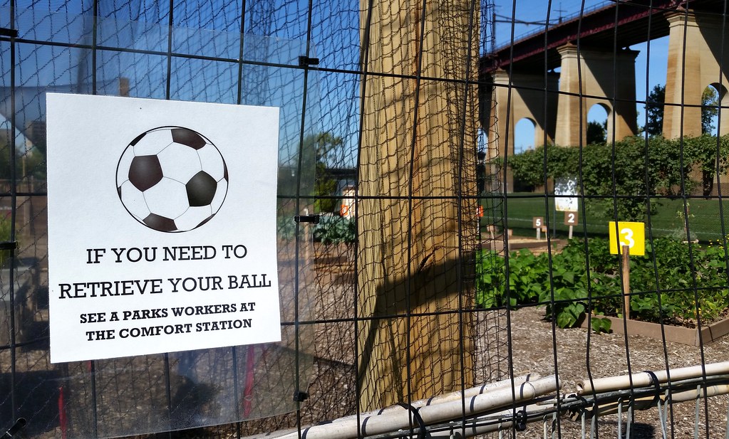
at the Randall's Island Urban Farm (photos), which recently acquired a bicycle-powered huller to process the harvests of "all five of New York City’s rice paddies".
(Despite the name, the farm is actually located on the Wards Island part of Randall's and Wards Islands. But the Randall’s Island Park Alliance refers to the conjoined islands collectively as Randall's Island.)
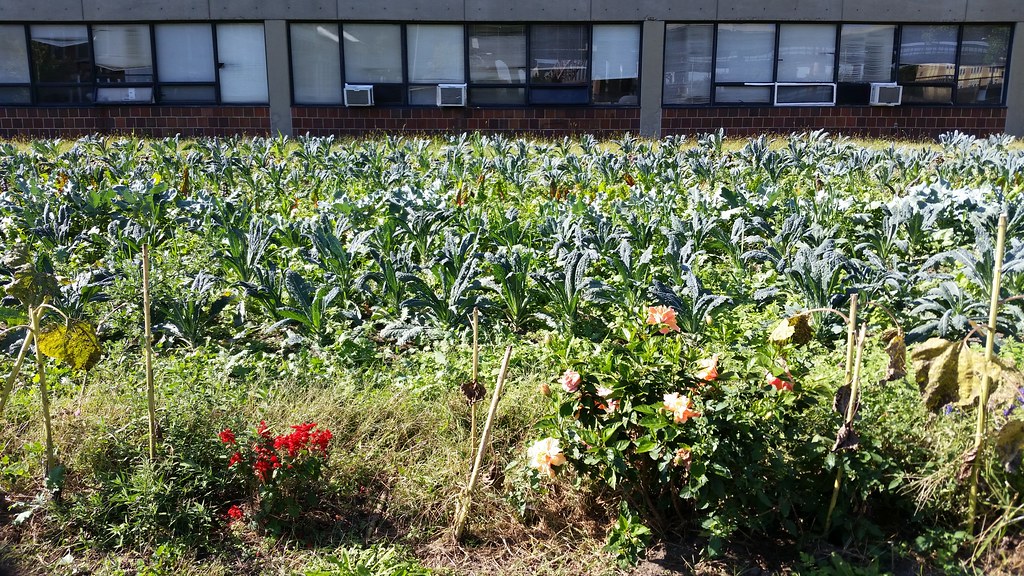
This is part of the Project EATS farm (photos) at the Help USA Supportive Employment Center, a homeless shelter that provides its residents with vocational training. Some of the produce grown here is sold to restaurants and Fresh Direct, with the proceeds used to subsidize affordably priced farm stands in low-income and working-class neighborhoods. Food from this farm is also used in the employment center's cafeteria and in its culinary arts training program.
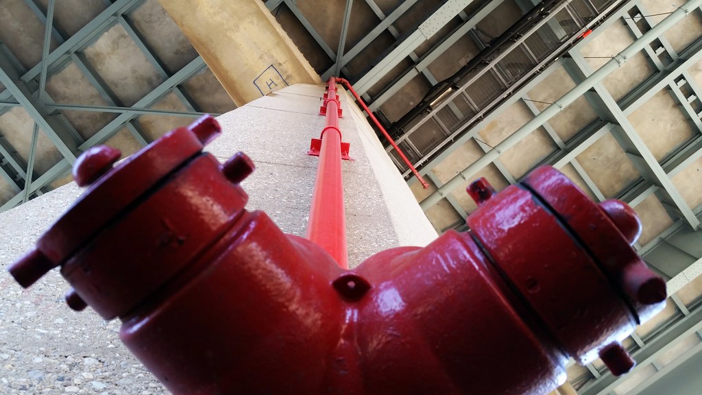
This standpipe allows water to be pumped up to the viaduct in case of a fire.

Some classic barf-inducing artspeak: "To install Ground, Sanders created ten sculpted earth chairs, in a variety of forms . . . The installation offers an unmitigated phenomenological experience, the opportunity to interact with a living material in a simultaneously nostalgic and atypical way."
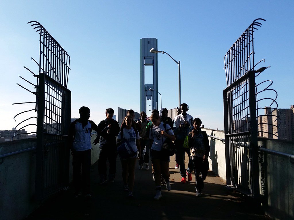
Heading over the Wards Island Bridge to the island's athletic fields
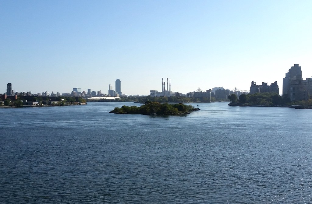
This island in the East River started out as two smaller islands: Great Mill Rock and Little Mill Rock. According to The Other Islands of New York City:
Great Mill Rock was first developed between 1701 and 1707, when John Marsh built the tidal mill there that gave both the islands their names. During the War of 1812, the army built a blockhouse with cannons on the island to deter the British from making their way from Long Island Sound. The blockhouse burned down in 1821. In 1850, John Clark claimed squatter's rights to Great Mill Rock and began selling food and booze to passing boats. A decade later, he sold the island for $40 to Sandy Gibson, who moved his entire household there, right down to the cows and chickens. Three years later, Gibson sold the land to a Charles Leland for $300, but stayed on for several more years as a tenant, catching eels and flounder for food.The Mill Rocks sat amid many other rocks, reefs, and islets with some colorful names among them: Hen and Chickens, Hog's Back, Frying Pan, Bread and Cheese, and Bald-headed Billy. These riverine obstacles made the churning waters in and around Hell Gate notoriously treacherous to navigate. In 1851, the Army Corps of Engineers began a long campaign of blasting these dangerous obstructions out of existence.
October 10, 1885 saw the annihilation of nine-acre Flood Rock by nearly 300,000 pounds of explosives, much of which had been prepared at a facility on Great Mill Rock. "The largest planned explosion prior to the atomic bomb" (a debatable claim), it was reportedly felt about 50 miles away in Princeton, New Jersey. The event was a huge public spectacle, covered extensively in the NY Times. Some excerpts:
The cross streets east of the upper end of Central Park were full of people moving toward the East River. Down town great numbers of people were climbing to the tops of high buildings, for they were sure that they would hear the thunder of the explosion and see the huge sheets of water shooting into the air. All along the East River front every "coign of vantage" was pre-empted early in the day.Check out this photo of the explosion!
The bulk of the crowd, however, assembled on the sides of the abrupt slopes that descend to the river . . . opposite the scene of the explosion. Men, women, children, dogs, and goats mingled in one broad, variegated mass. . . . Hundreds of people gathered on the tops of the big breweries and other tall buildings that loom one above another on the easterly decline of the city. Away up on the tops of chimneys and on the outermost pinnacles of roofs could be seen the irrepressible, never-to-be-left small boy, filled with the American instinct for getting to the top and looking down on the whole business. Trees had their usual load of sightseers and lamp posts were opportunities to be embraced with avidity. Down along the water's edge the masses concentrated into a solid, sinuous wall that wound around among the piers and wharves as far as the eye could reach to north and south. . . .
[Upon the detonation of the explosives by the young daughter of the general in charge of the project:] Away it flew, that viewless spark, to loose three hundred thousand chained demons buried in darkness and the cold, salt waves under the iron rocks. A deep rumble, then a dull boom, like the smothered bursting of a hundred mighty guns far away beyond the blue horizon, rolled across the yellow river. Up, up, and still up into the frightened air soared a great, ghastly, writhing wall of white and silver and gray. Fifty gigantic geysers, linked together by shivering, twisting masses of spray, soared upward, their shining pinnacles, with dome-like summits, looming like shattered floods of molten silver against the azure sky. Three magnificent monuments of solid water sprang far above the rest of the mass, the most westerly of them still rising after all else had begun to fall, till it towered nearly 200 feet in air. To east and west the waters rose, a long blinding sheet of white. Far and wide the great wall spread, defying the human eye to take in its breadth and height and thickness. The contortion of the wreathed waters was like the dumb agony of some stricken thing. . . .
All around the place the water was turned to a dirty brown by the upheaval of the bottom of the river. The foam was still bubbling, nearly 10 minutes after the explosion. Thousands of pieces of wood, mingled with marine weeds and myriads of dead fish, killed by the shock, were floating down into the East River. . . .
Industrious and thrifty fishermen, armed with scoop-nets, ladled dead fish out of the water into their boats and prepared to make to themselves a feast.
Shattered remains of Flood Rock were collected and used to fill in the gap between the Mill Rocks, creating the single island that exists today. Mill Rock was acquired by the Parks Department in 1953; it's seen occasional recreational use since then — perhaps most notably as co-host of the 1969 New York Avant Garde Festival — but is currently off limits to the public.
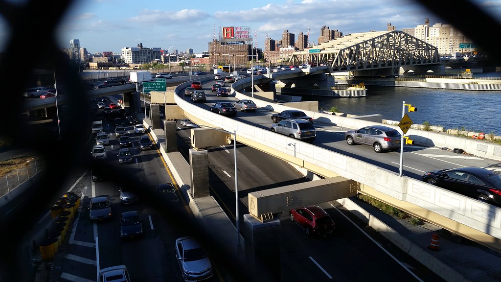
That's the Harlem River Drive on the lower level; the cars on the ramps above are heading into the Bronx via the Willis Avenue Bridge.
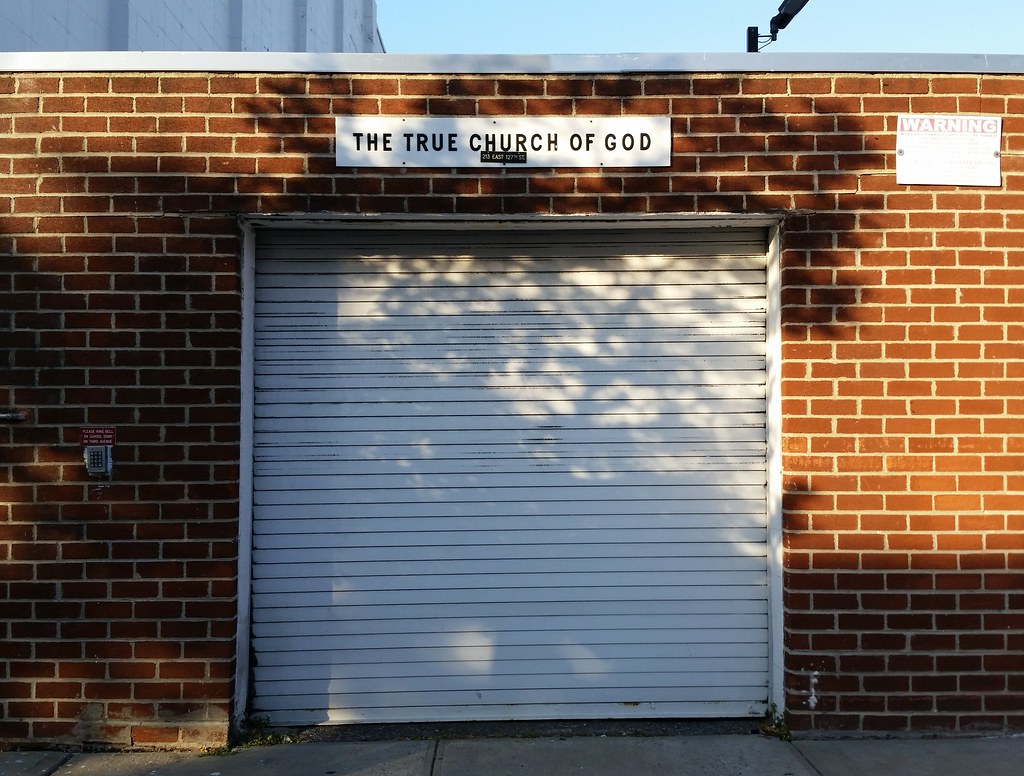
I thought this would just be a lighthearted picture, but upon googling the name of the church things turned dark fast. I don't know if Pastor Streitferdt ever ended up serving any time in prison, but it looks like he's still in charge of the church today.
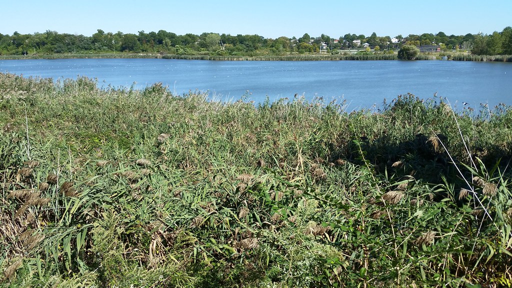
Along with neighboring Meadow Lake (to which it is connected), Willow Lake was created for the 1939-40 World's Fair. While Meadow Lake was built for recreational use, Willow Lake was intended to be more of a natural refuge.

Since our last visit, the Parks Department has opened the Willow Lake Preserve to the public (though only on weekends). This oily mess is not the most impressive part of the preserve, but it did make for the best picture.
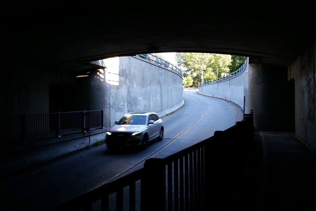
This is the Austin Street underpass beneath Union Turnpike and the Jackie Robinson Parkway.
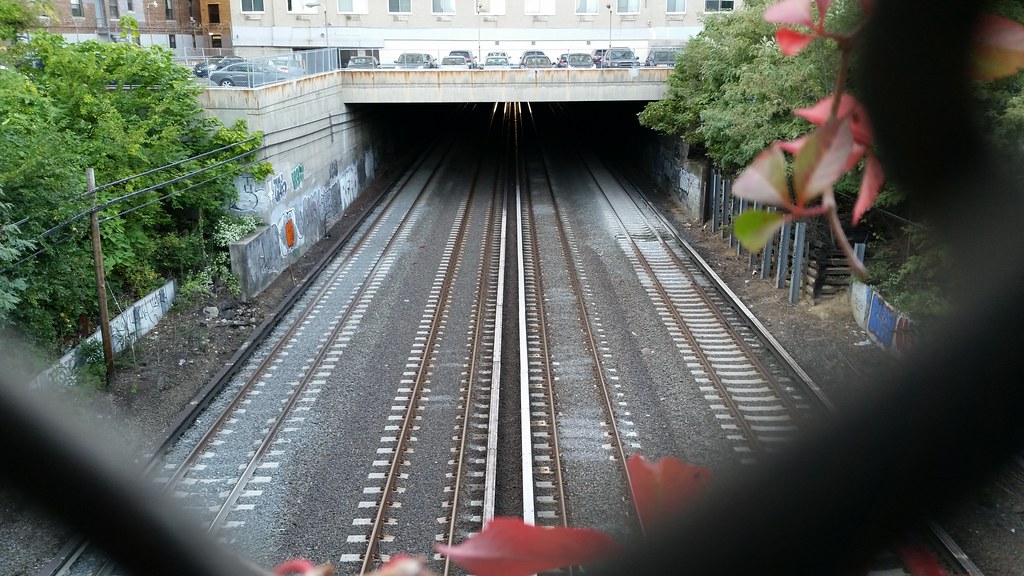
The Main Line of the Long Island Rail Road briefly ducks under cover as it passes beneath Union Turnpike, the Jackie Robinson Parkway, and a couple of high-rise apartment buildings.
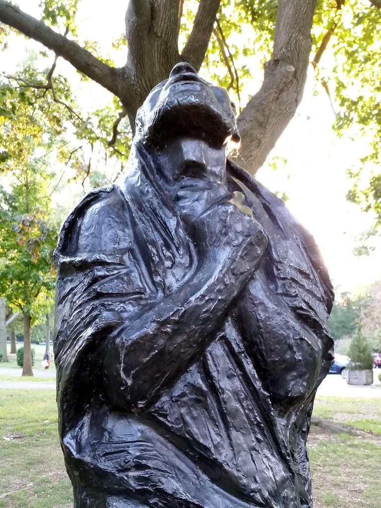
This statue of Job in Forest Park is one of two casts of a sculpture created by Nathan Rapoport for the 20th anniversary of the founding of Israel. He chose Job as his subject "to convey the universal suffering and ultimate test of faith that was visited upon the victims of the Holocaust." (The other cast of the sculpture is at Yad Vashem, Israel’s Holocaust museum and memorial.)
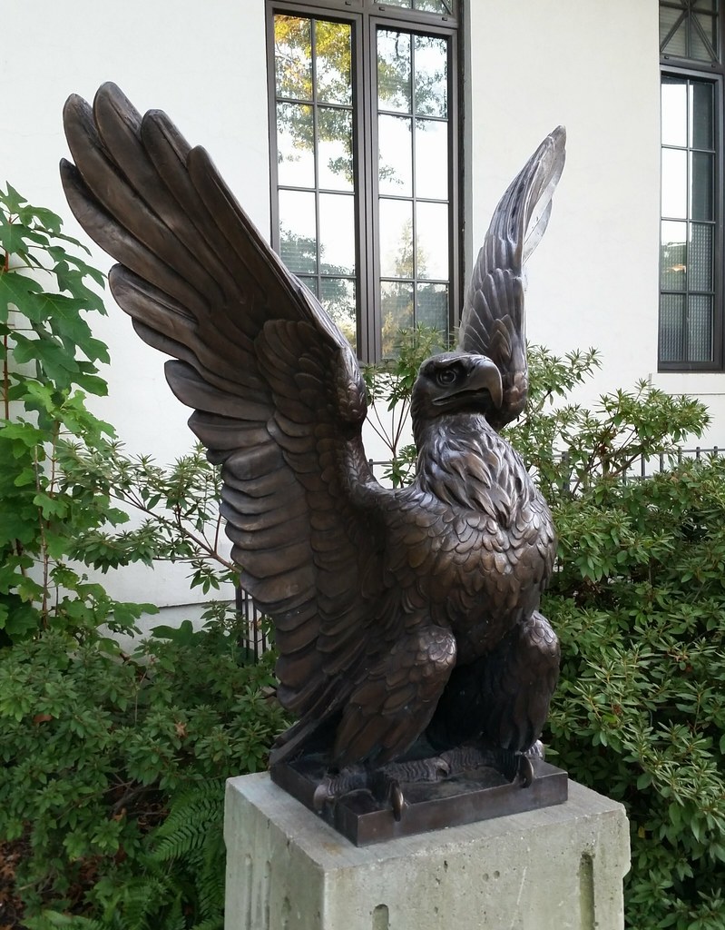
After coming across this bronze eagle and its identical companion perched outside the Overlook in Forest Park, I was left with the strong impression that I had seen them somewhere before. Later, looking through old blog posts, I realized why: they bear a striking resemblance to the eagles at the Prison Ship Martyrs' Monument in Fort Greene Park.
I spoke to Jonathan Kuhn, Director of Art & Antiquities at the Parks Department, and he told me that these eagles are in fact modified replicas of the Fort Greene originals, the one difference being that they have tail feathers, whereas their Fort Greene counterparts, sitting with their backs against columns, do not.
Mr. Kuhn also told me that when these tailed eagles were cast, perhaps 15 or 20 years ago, two other identical ones were created as well, and they can now be found at Joe Sabba Park in Sunnyside (Street View). When he said that, I remembered walking through that park and taking this photo of an eagle, thinking it looked familiar but not being able to figure out why.
It turns out that the sculptor of the original eagles on the Fort Greene monument, the renowned Adolph Weinman, lived and worked in Forest Hills Gardens for many years, just a few blocks from the Overlook. I asked Mr. Kuhn if that had anything to do with these newer eagles being placed here. He said he wasn't aware of it being a factor, but that it wouldn't have been unusual for former Parks Commissioner Henry Stern to have known such a thing and taken it into account when deciding what to do with the eagles.
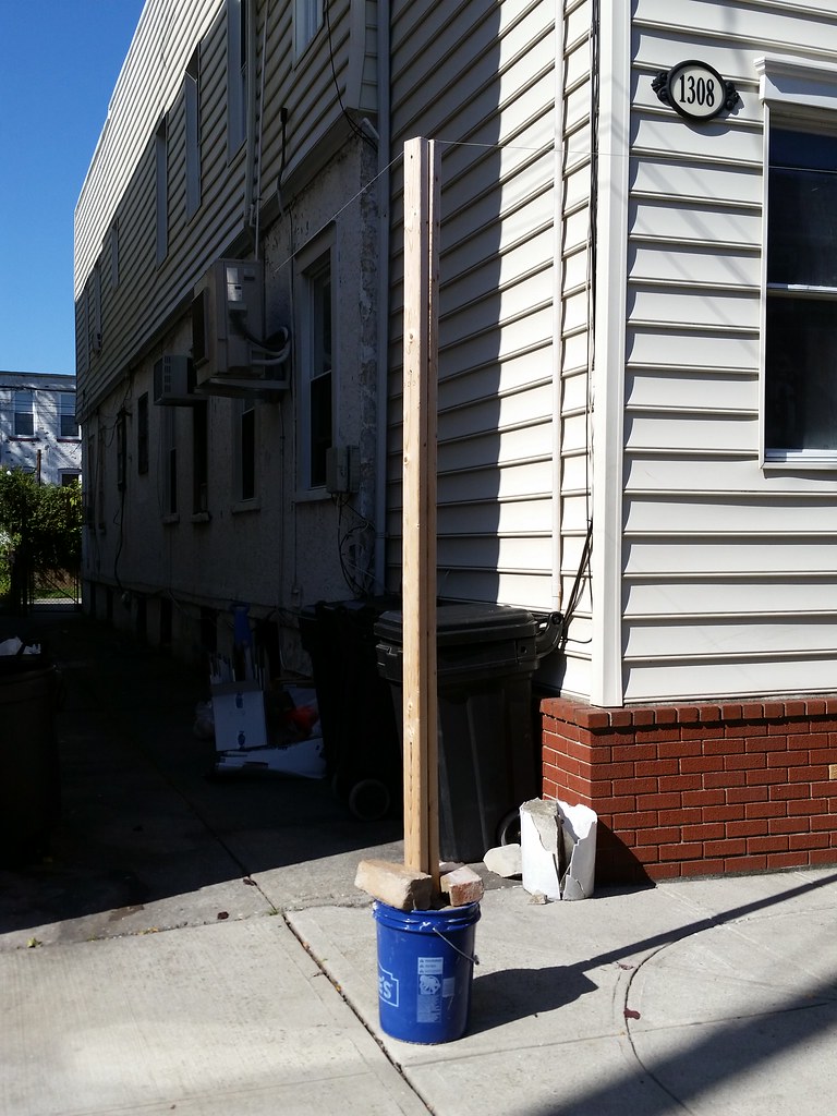
An eruv is a ritual enclosure in which observant Jews are allowed to carry/transport things (like prayer books or baby strollers) in public on the Sabbath, which would otherwise be forbidden. Walls, fences, and the like can be part of an eruv, but it's common practice to use strands of fishing line, like the ones attached to the top of this wooden post, to extend the boundaries of an eruv beyond physical barriers. Some eruvs, like the Manhattan Eruv, are enormous, encompassing multiple neighborhoods. Others, like the one above, just include one or two buildings.
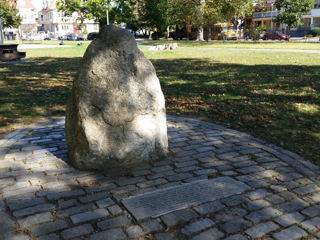
According to the inscribed tablet at the base of this rock in Amersfort Park:
This park is named after the city of Amersfoort in the Netherlands, the homeland of the Dutch settlers who colonized and farmed this area of Brooklyn in the 1620's. This New Amersfort Rock is a replica of the 200,000 year old rock that proudly stands in the city of Amersfoort. This rock has become a symbol that celebrates the city of Amersfoort and links the Dutch and Brooklyn communities together.The legend behind the original rock in Amersfoort (two o's, as opposed to one in the Brooklynized name), known as the Amersfoortse Kei, varies a little from telling to telling, but it goes something like this:
Hundreds of years ago, there was a boulder that sat along the road outside of town. (It was carried there by a glacier some 150,000-200,000 years ago; I assume that's what the "200,000 year old" claim on the tablet refers to.) in 1661, Everard Meyster, a local aristocrat, made a bet with some friends that he could convince the people of Amersfoort to drag the 8-ton boulder into town in exchange for some beer and pretzels. He was apparently successful; 400 residents showed up and hauled the massive rock all the way to the town square to put it on display.
People from other towns started making fun of the Amersfoorters for having spent so much effort doing something so pointless. They referred to them derisively as "keien trekkers", which translates roughly to "boulder pullers". Embarrassed by this, the Amersfoorters decided to bury the boulder around 1672, hoping people would forget the whole story.
The boulder was uncovered in 1903, and the people of Amersfoort, sufficiently temporally removed from the shame of their forebears, decided to display it proudly once again. To this day, it stands on a pedestal in the central part of the city. Check it out in Street View!
I'm not sure how closely the Brooklyn "replica" resembles the original. Comparing photos, they seem to be roughly the same shape and color, but that might be the extent of their similarities (although it's hard to say without seeing them both in person). I don't know if someone actually tried to make the Brooklyn boulder look like the original, or if they just found a big rock and thought, "Hey, this looks kinda like that one back in Amersfoort."
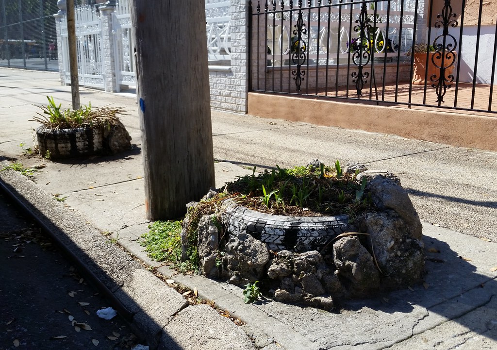
I had always held up the inside-out tire planter as the pinnacle of gardening elegance, but that was before I laid eyes on this exquisite beauty. (There was also an inside-out one just out of frame to the right.) (Also, remember this guy?)

Perhaps this family in Midwood/Flatlands got the idea from a Crown Heights rabbi. From the NY Times, a decade ago:
Rabbi Berl Haskelevich, 58, is no environmentalist. A cabala scholar, he can barely keep his recyclables straight. But this time of the year, he reuses several hundred plastic Coca-Cola crates to make a sleek red hut on the front porch of his brick house in Brooklyn.(Note the eruv string attached to the post at the corner of the sukkah.)
Fitting the cases neatly together like Lego pieces to form solid plastic walls, he builds his sukkah, the makeshift structure that many Jews use to celebrate Sukkot, the weeklong holiday of the harvest . . .
"What can I say? I drink a lot of Coke," said Rabbi Haskelevich, standing on the front porch of his house on Montgomery Street in Crown Heights, where many of the stately brick homes have sukkot (the plural of sukkah) on front porches and balconies. The rabbi had accumulated many Coke cases, and the youngest of his nine children first suggested using them as sukkah building blocks.
"It's my third year using them," he explained. "They don't get rotten like wood. It's sturdy, and it looks beautiful. I get a lot of compliments."
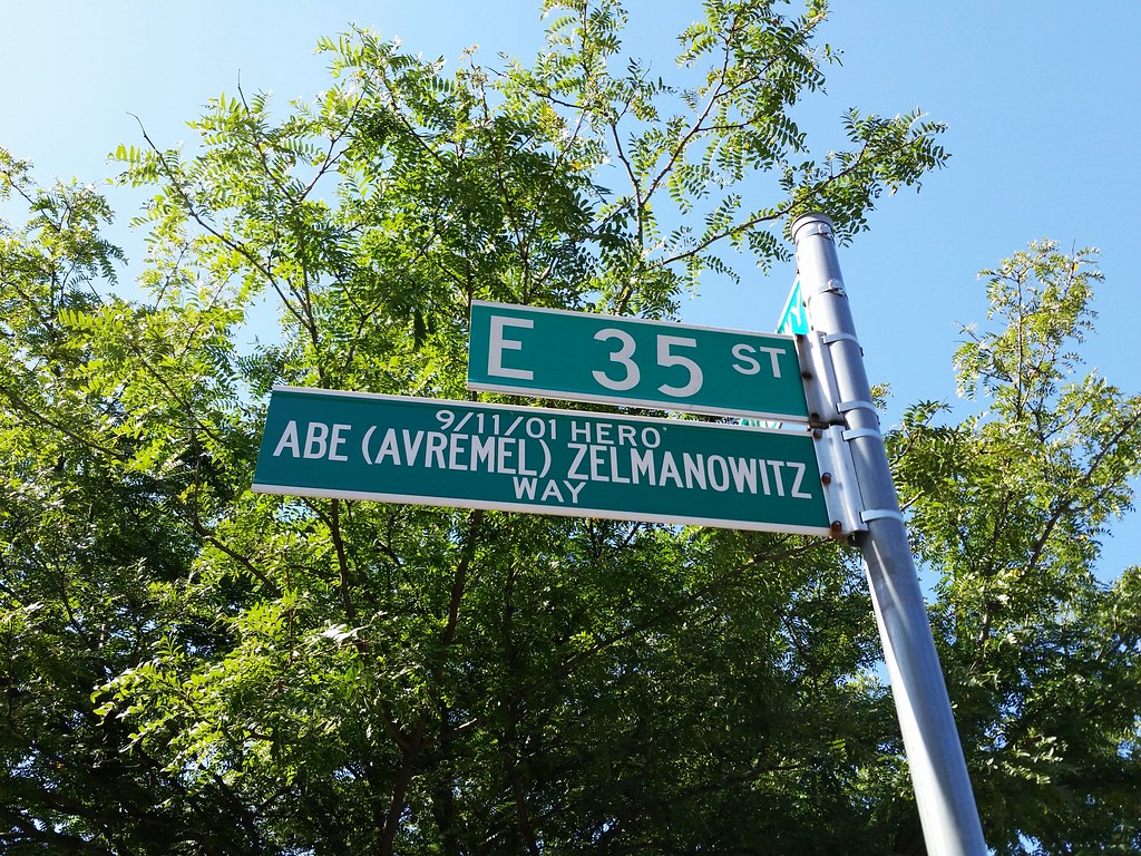
Abe Zelmanowitz worked on the 27th floor of the World Trade Center's north tower. After the first plane hit his building on 9/11, he could have fled to safety with the others on his floor, but he refused to abandon Ed Beyea, his quadriplegic co-worker, who was unable to use the stairs. The two of them were discovered by firefighters searching their floor shortly before the south tower collapsed. Realizing it wouldn't be long before the north tower followed suit, FDNY Captain Billy Burke instructed the other firefighters on the floor to leave the building. They did, rescuing two others on the way down, and they all survived by the slimmest of margins. Captain Burke decided to remain with Abe and Ed, perhaps with a long-shot plan of rescuing them, and all three were killed shortly thereafter when the north tower fell.
Here's a nice story about Abe's sister going to Afghanistan to meet a man whose brother and sister-in-law were killed by an errant American bomb a couple of months after 9/11.
(In case you're wondering, I don't count individual streets renamed for 9/11 victims as memorials in my running tally; I consider them all to be part of one citywide memorial.)
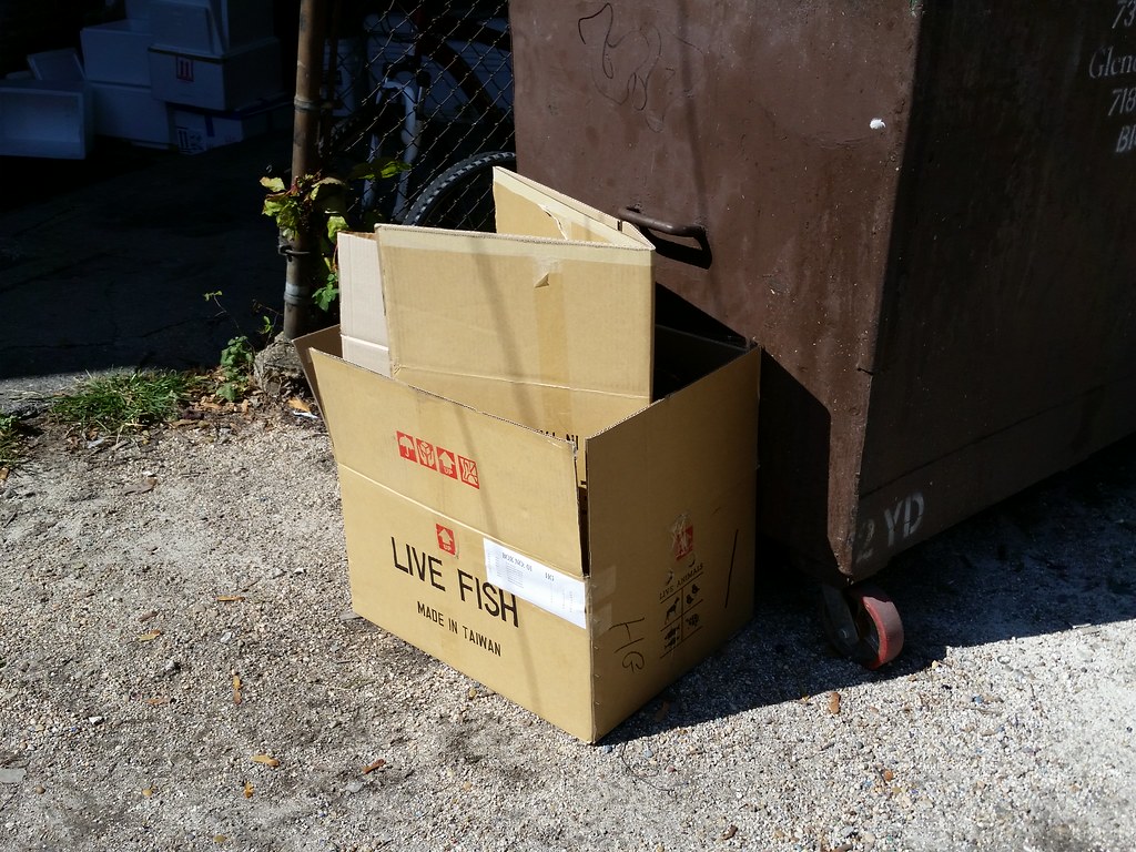
The list of (former) contents:
12 Heros severum
3 Labidochromis caeruleus
3 Pseudotropheus estherae
7 Cichlasoma citrinellum
6 Placidochromis electra
6 Pseudotropheus crabro
6 Metriaclima greshakei
8 Melanochromis johanni
How do they fit that many fish in one box? Kind of like this, I guess.
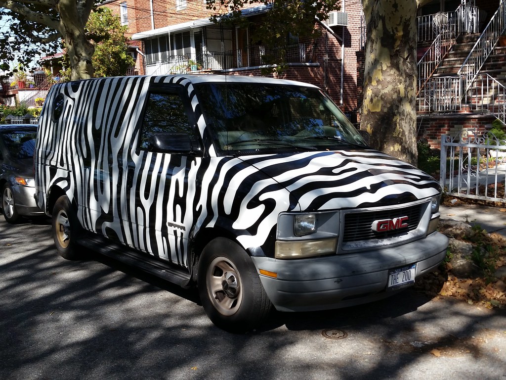
A GMC Safari with matching steering wheel cover and air freshener
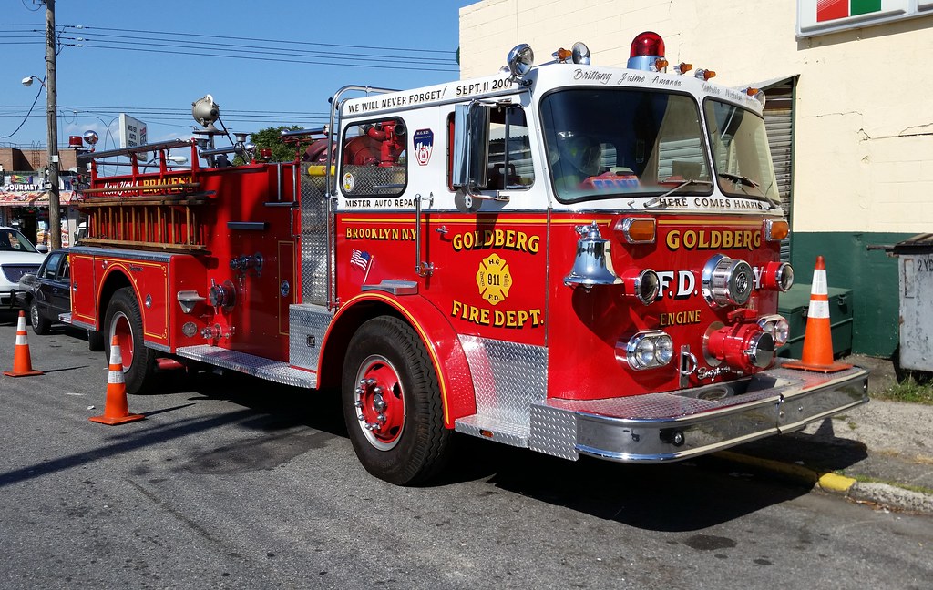
Something about this fire truck caught my eye from down the block. As I veered off course to inspect it, I noticed some odd features: an antiquated bell, a wooden ladder, and "GOLDBERG FIRE DEPT." painted on the door. It turns out it's owned by a man named Harris Goldberg who runs the auto repair shop it's parked beside. Also on display today from the extensive Goldberg Collection were an '80s-era NYPD patrol car, a classic Checker cab, and a Good Humor ice cream truck.
THERE GOES HARRIS
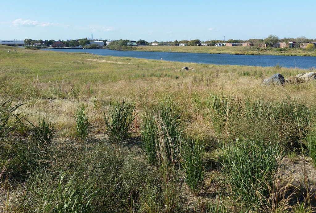
We're looking inland from a newly restored natural area on the south side of Paerdegat Basin. In the distance (zoom in), you can see the three current anchors of the Manhattan skyline. From left to right: One World Trade Center, the Empire State Building, and 432 Park Avenue.

