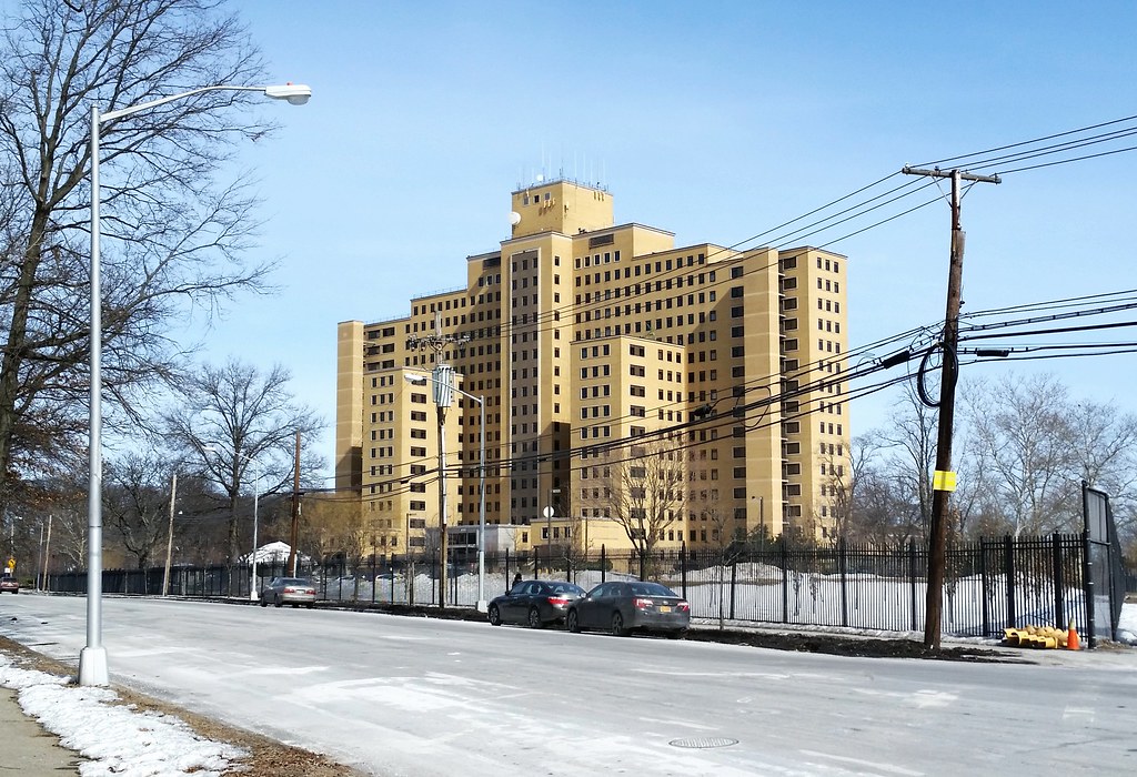
Towering above its suburban surroundings, Building 40 is by far the largest structure on the grounds of the Creedmoor Psychiatric Center. (And it looks almost identical to the tallest building of the Manhattan Psychiatric Center on Wards Island.)
"A rich man's dream", the Long Island Motor Parkway (sometimes known by the flattering acronym LIMP) was "the first highway built exclusively for the automobile". Running 45 miles from eastern Queens to Lake Ronkonkoma in Suffolk County (annotated route map), this "quick and easy route for plutocrats of the Gold Coast era to get from New York City to their lavish Long Island estates" was conceived in the early 1900s, a time when the automobile was generally considered to be a plaything of the wealthy.
"Cars were seen as objects for leisure, something to be used on weekends", Paul Daniel Marriott, a highway historian, said in an interview with the NY Times. "No one dreamed then of commuting to work by car. . . . It was a way of interacting with nature."
Or, as Woodrow Wilson put it in 1906: "Nothing has spread Socialistic feeling in this country more than the use of automobiles. To the countryman they are a picture of arrogance of wealth with all its independence and carelessness."
One such wealthy individual was William Kissam Vanderbilt II, the great-grandson of Cornelius Vanderbilt. According to the NY Times:
The younger Vanderbilt was a car enthusiast who loved to race. He had set a speed record of 92 miles an hour in 1904, the same year he created his own race, the Vanderbilt Cup.The first section of the parkway opened in 1908, and most of the rest was completed by 1912. (The westernmost two miles in Queens were built between 1924 and 1926.) The road's days as a racecourse were short and not so sweet, coming to an end after four people were killed during the 1910 Vanderbilt Cup race. A couple of decades later, with Robert Moses building free public parkways on Long Island in the midst of the Great Depression, the antiquated LIMP was pushed into financial insolvency, and it was shut down in 1938.
But his race came under fire after a spectator was killed in 1906, and Vanderbilt wanted a safe road on which to hold the race and on which other car lovers could hurl their new machines free of the dust common on roads made for horses. . . .
So he created a toll road for high-speed automobile travel. It was built of reinforced concrete, had banked turns, guard rails and, by building bridges, he eliminated intersections that would slow a driver down.
Moses, typically remembered for his car-centric approach to urban planning, quickly converted the westernmost two and a half miles of the parkway in Queens into a bicycle path. At the opening ceremony for the new path, with our old friend Mile-a-Minute Murphy in attendance, Moses announced that the path was the first trial section in a plan to build 50 miles of paved bike paths across the city.
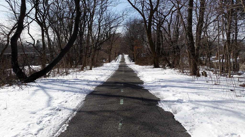
Traces of the parkway can still be found along its former route. Here in NYC, the Queens bike path, pictured above, continues to preserve much of the road's right-of-way from Cunningham Park to Alley Pond Park. Physical remnants of the parkway can be spotted along the path, including "portions of the original concrete and asphalt surfaces, together with markers and fence posts", as well as three of the 1924-26 bridges that carry the path over intersecting roadways.
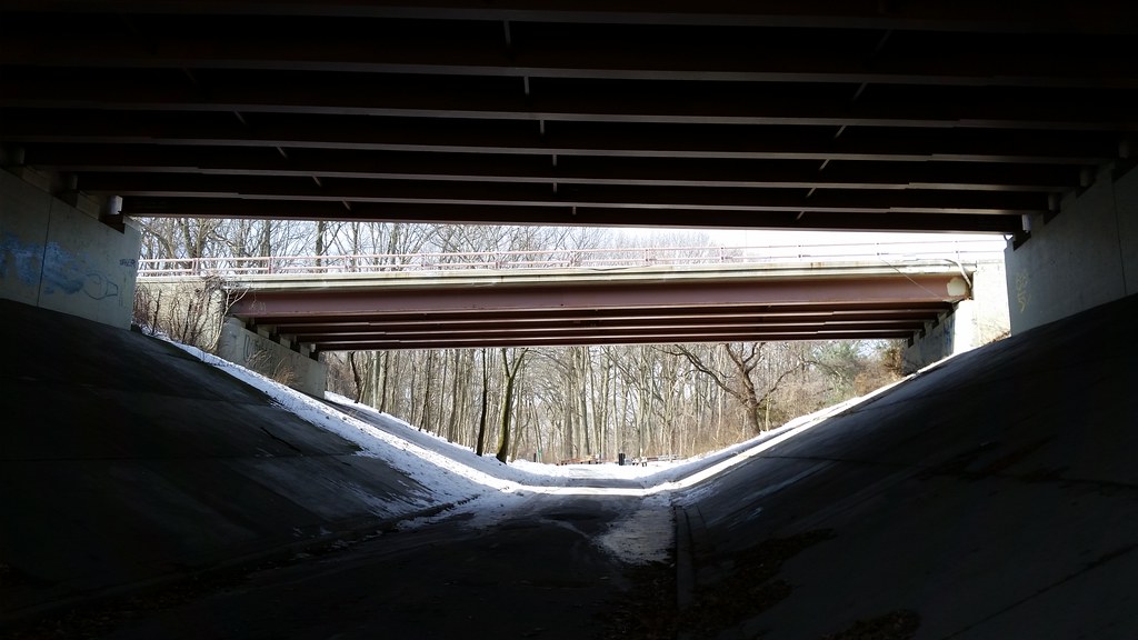
on the bike and pedestrian path that follows the former route of the Long Island Motor Parkway from Cunningham Park to Alley Pond Park

Checker stopped making cars in 1982, and the city's last Checker cab went out of service in 1999. This car appears to have actually been a taxi at some point, although maybe not in NYC.
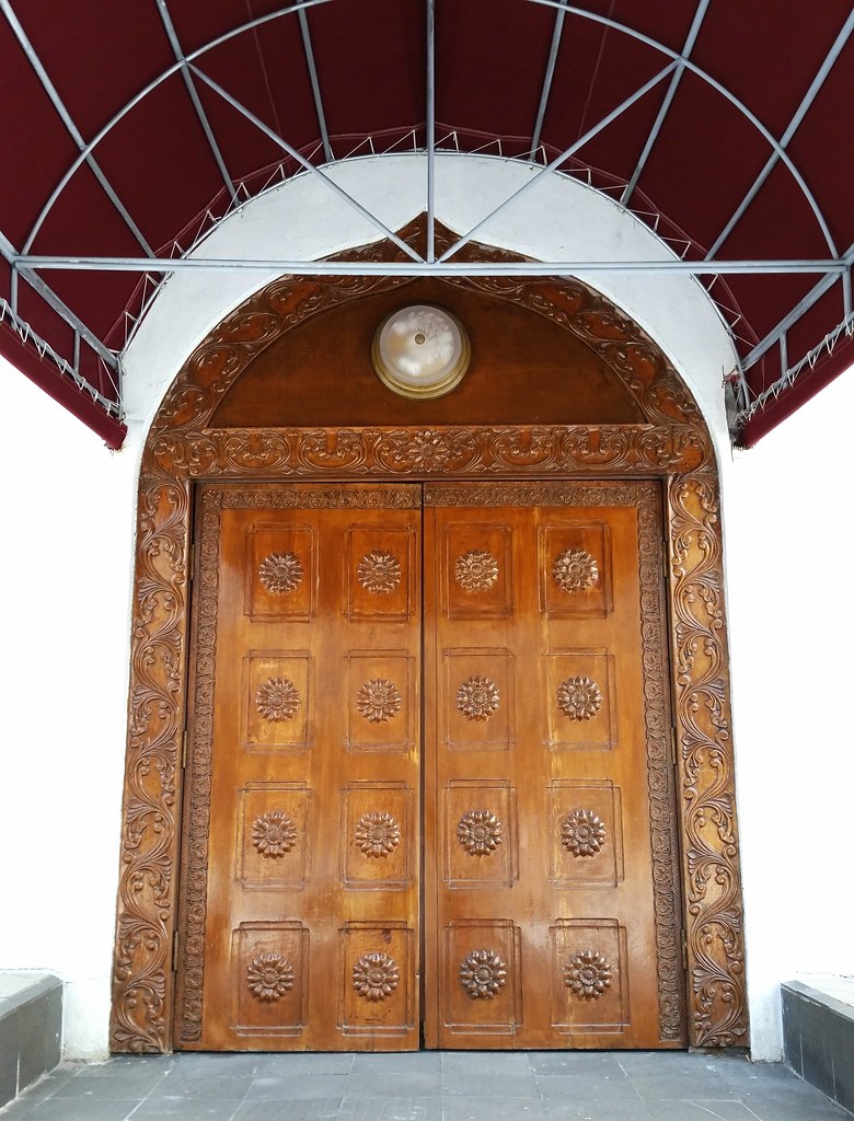
New York Buddhist Vihara, a Sri Lankan Buddhist temple
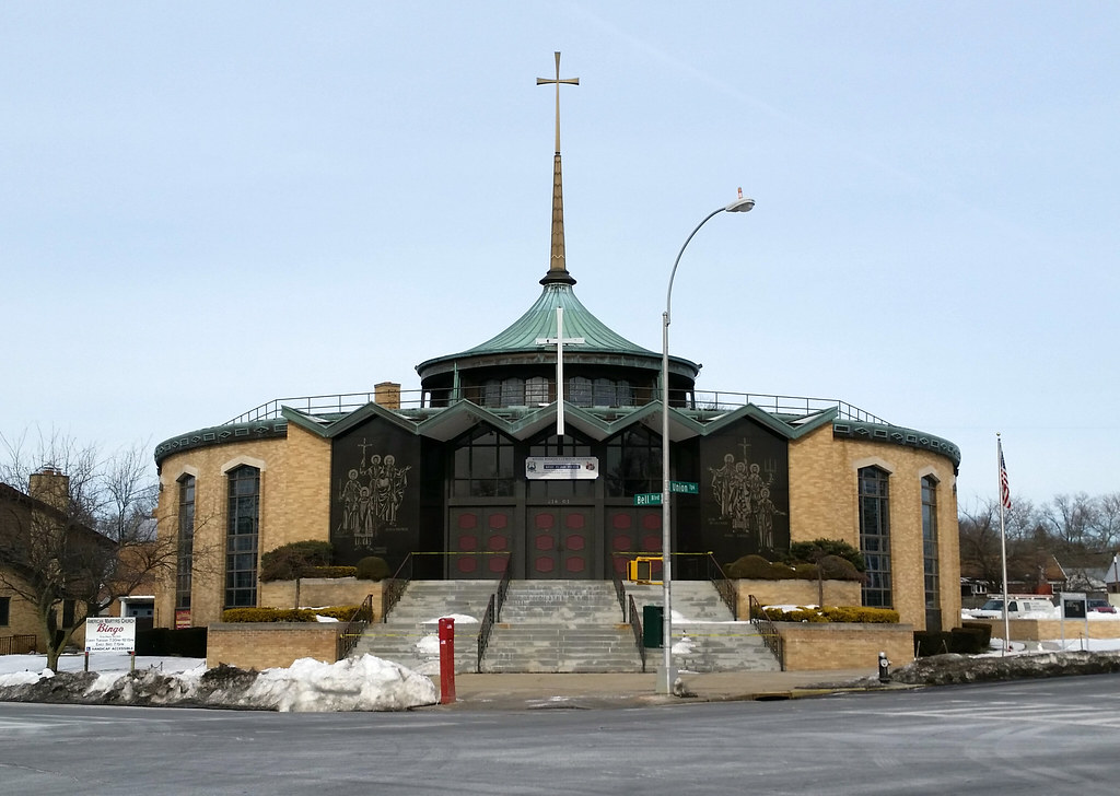
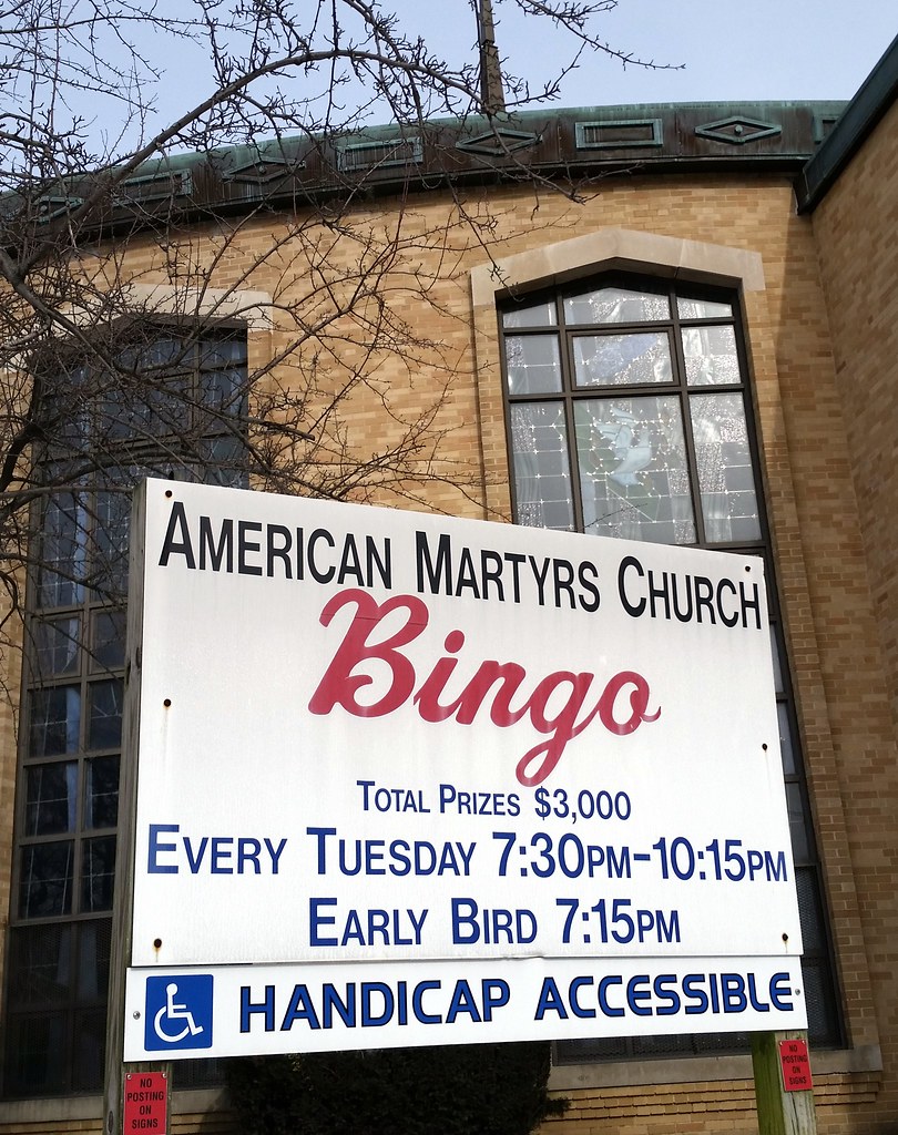
Named after the North American Martyrs
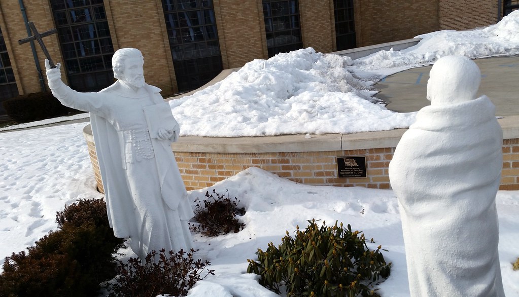
The plaque reads:
American Martyrs
Remembers All Those Lost
September 11, 2001
Always In Our Prayers
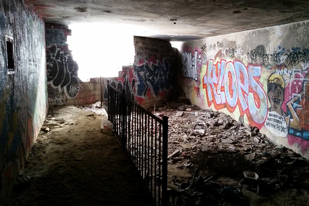
There was once a path — for both horses and pedestrians, apparently — that ran beside the Grand Central Parkway between Cunningham Park and Alley Pond Park. What you see above is an underpass built to carry the path beneath Union Turnpike. The path is now long gone, and this underpass was sealed off at some point (as was another beneath nearby Springfield Boulevard), but both ends of the underpass have since been broken open. In addition to what remains inside the underpass, some of the path's old railings can be found in the woods outside.
You can see the path in this 1951 aerial view running just to the northwest of the parkway. The underpass beneath Union Turnpike is visible in the middle of the image. For comparison's sake, here's a 2010 aerial view of the same area (with the roadways labeled).
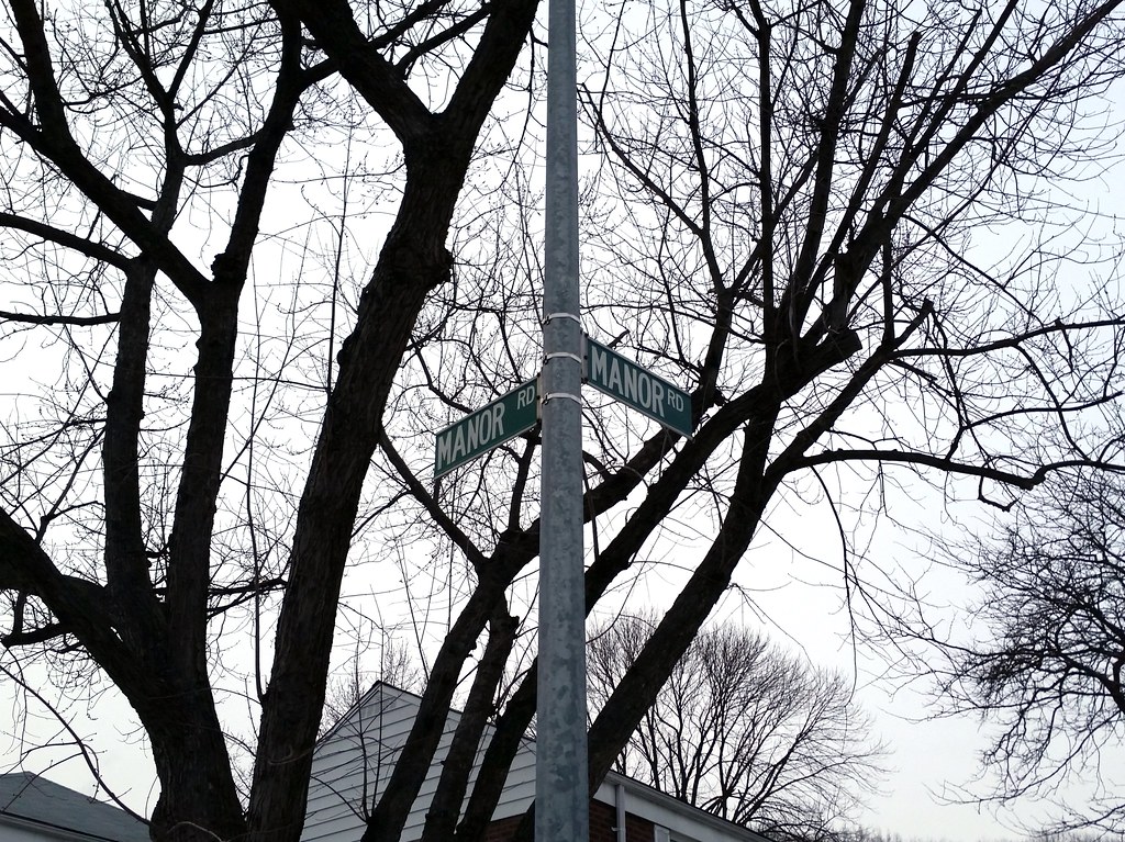
Because sometimes it's too hard to come up with a new street name (map).
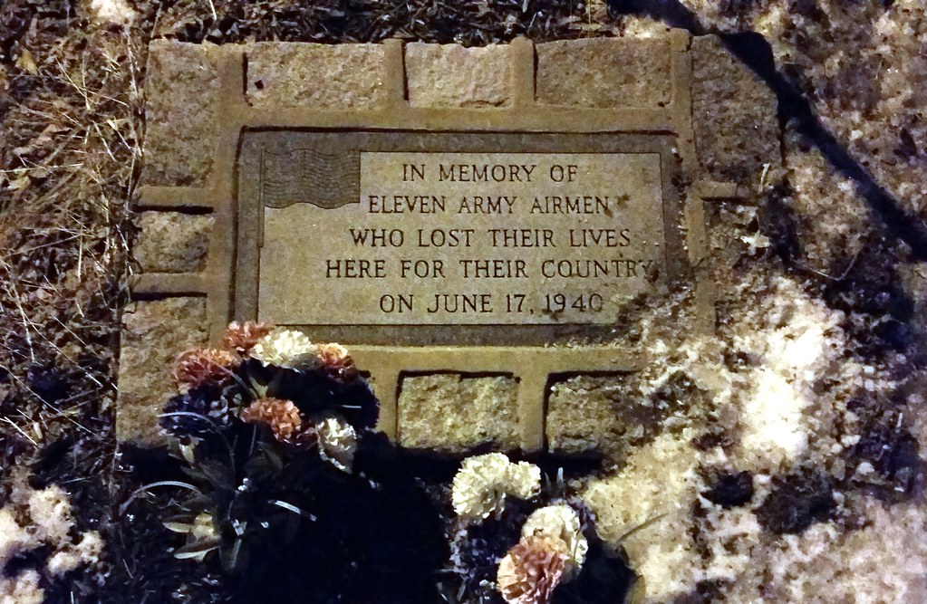
On June 17, 1940, two B-18 bombers from Mitchel Field collided in the air above Bellerose, Queens. The planes plummeted to the streets below, killing all eleven crew members and one woman whose house was set on fire by flaming gasoline. One of the deceased airmen was Hugh Palmer Bedient, whose father, Hugh Carpenter Bedient, had achieved some measure of fame as a baseball player by striking out a record 42 batters in a 23-inning semipro game in 1908 and by outdueling Christy Mathewson in the 1912 World Series.


