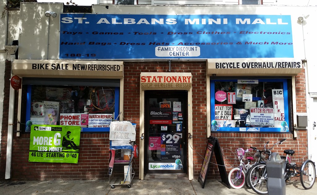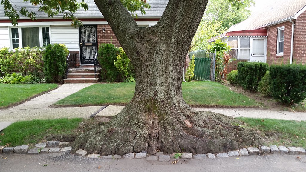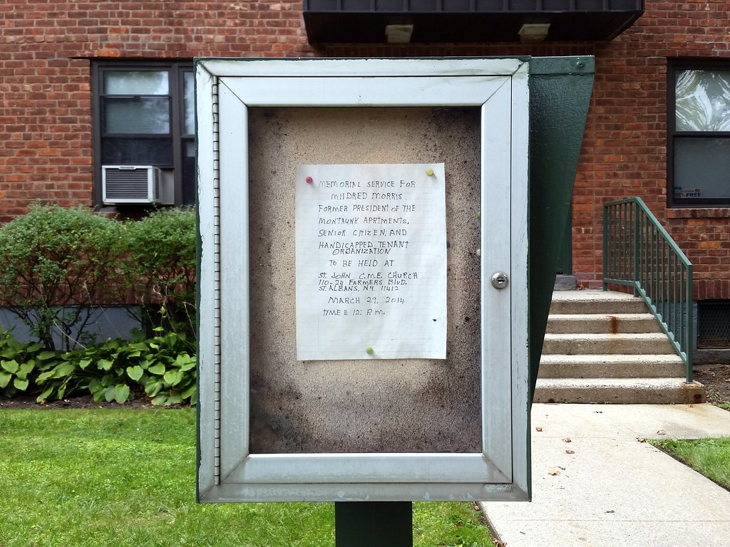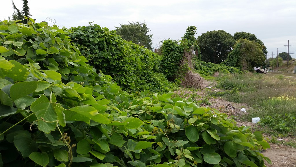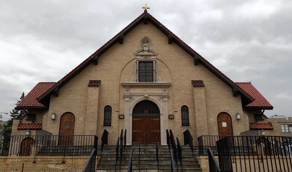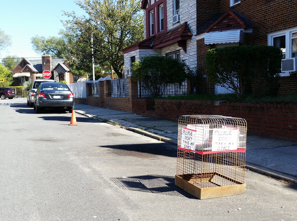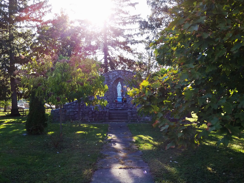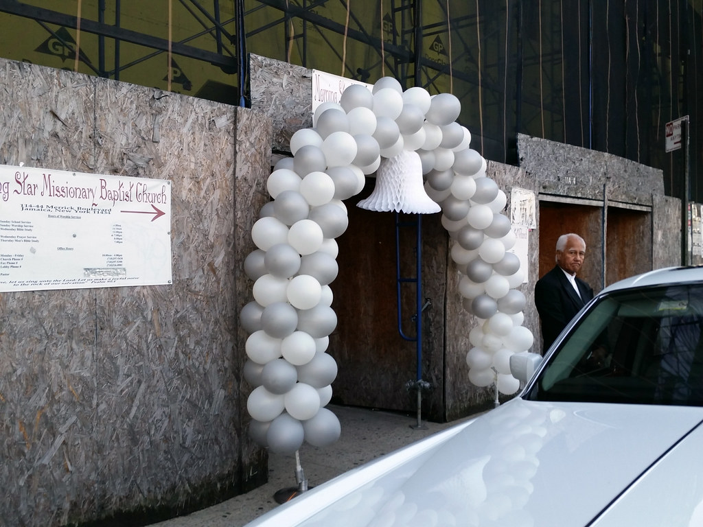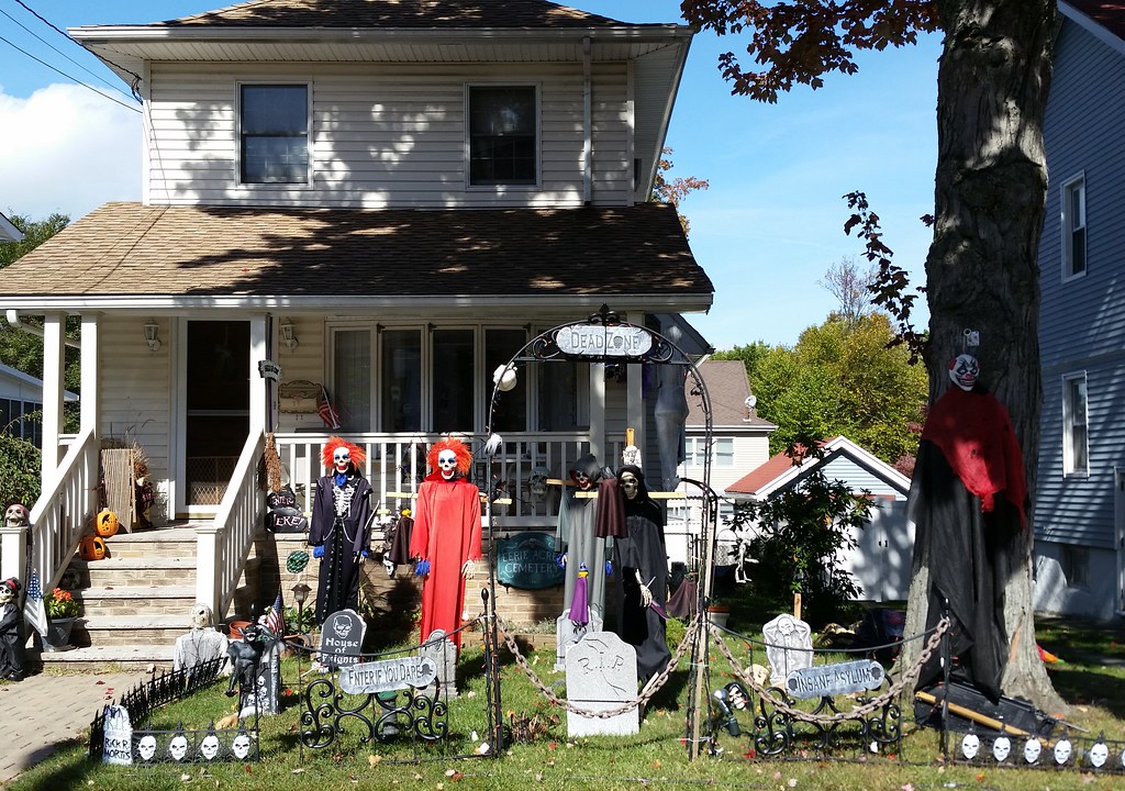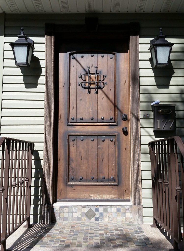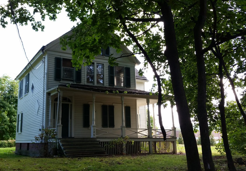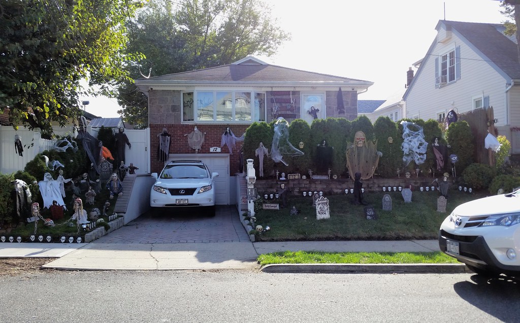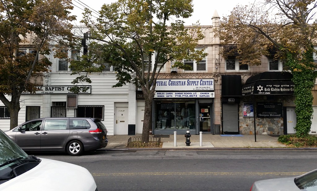
From left to right: Scriptural Baptist Church, Scriptural Christian Supply Center, and Beth Elohim Hebrew Congregation, a black Hebrew Israelite synagogue founded by the late Rabbi Levi Ben Levy, former chief rabbi of the Israelite Board of Rabbis for the New York metropolitan area and the Western Hemisphere.

Is the proper spelling A) Everit Place or B) Everett Place?
Answer: C) None of the above.
It's actually Everitt Place (spelled differently on street signs at each of its three intersections, and only correctly at one), presumably named after August Everitt, who ran a general store that was located at the nearby intersection of today's Farmers and Linden Boulevards. Everitt's store "became the hub of local business and an anchor that fostered residential and commercial development in St. Albans".
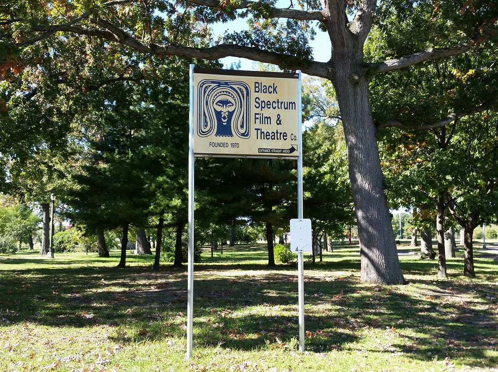
The land now occupied by Roy Wilkins Park was once part of the St. Albans Golf Club, where Babe Ruth could regularly be found playing a round (while throwing back a few). The federal government took possession of the golf course in 1942 and bulldozed it to make way for a naval hospital (a replacement for the aging one at the Brooklyn Navy Yard), which operated until 1974. Half of the old hospital property is now home to the St. Albans Community Living Center, a Veterans Affairs facility, and the other half is Roy Wilkins Park, established a couple of years after the hospital's closing by a coalition of community groups who turned what had become a "sprawling, perilous eyesore" into a park and maintained it at a time when the city's couldn't afford to.
The park was given its current name in 1982 as a tribute to Roy Wilkins, the eminent civil rights leader and resident of Queens who had died the year before. A few years later, with the city's finances in better shape, the former hospital's officers' club was converted into a recreation center with a pool. Known as the Roy Wilkins Family Center, its courtyard contains an African-American hall of fame consisting of a series of 400-pound medallions, one for each inductee, placed around an Africa-shaped patch of grass (aerial view). There has long been talk of constructing a new home for the hall of fame in the park, and there was even a symbolic groundbreaking in 2001, but that's as far as things have gotten. Also located in the old officers' club is the 325-seat Black Spectrum Theatre, whose resident company "produces and presents theatre, films, and videos examining issues of social significance to the African-American community."

at the Roy Wilkins Park community garden. Its vaguely racist appearance is an especially odd fit in a park named for a civil rights activist.
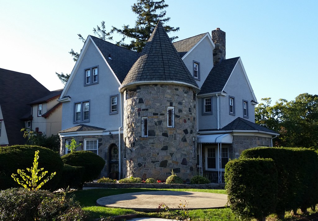
This Addisleigh Park house belonged to Cootie Williams from 1947 to 1953 and James Brown from 1962 to 1971. During Brown's residence, the house was surrounded by a moat and, at Christmastime, decorated with black Santa Clauses on the lawn. (Today, leading to the front door is what looks like a bridge over a dry section of moat.) According to some person on Flickr:
The home looked different back then as it was painted black. There was also a moat over water that was illuminated with green, red, and white lights most summer evenings. JB used to come out and shake all of our hands if we were lucky enough to see him during a summer day camp walk. Always told us to "stay in school".

This is the Parks Department's Staten Island borough headquarters. The department's website says it was built out of native fieldstone in the early 1930s, but also describes it as a "one-story building", so it's possible the larger part of the structure has a different story.

I don't know if there's any particular reason this statue was selected to stand alone on the grounds of the two 10-story apartment buildings known as The Fountains.
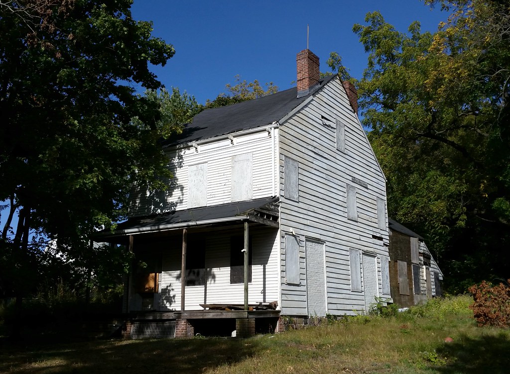
This somewhat sorry-looking structure was built around 1836 for John King Vanderbilt, a first cousin of Cornelius Vanderbilt. A sign on the property says there is a medical/community facility coming soon, but the sign has been there since at least September 2013. The house is landmarked, however, which means that any future development would have to leave it standing. The best deal for all parties might be something like what happened with the neighboring Dorothy Valentine Smith House, which was restored in the late 1990s as part of a plan that also relocated and reoriented it on its lot to make room for commercial development that finally came in the form of a Walgreens in 2013.

This fence is built across Waldron Avenue, splitting the block in two. A similar fence exists one block over on Beverly Avenue, and a simple chain blocks traffic on Victory Boulevard from turning onto East Cheshire Place. This map shows the layout of the barriers.
One neighbor who was out in his lawn told me the roadblocks have been here as long as he can remember. He said they were a response to heavy volumes of cut-through traffic. They seem like overkill though. Why do the two fences need to prevent pedestrians from passing though? It's hard to imagine the DOT approving pedestrian barriers in an attempt to keep cars from cutting though an area.
Also, as you can see in the map linked above, the roadblocks kind of just shift the problem from one street to another. They prevent traffic from cutting through on East Cheshire Place, but they allow it on Melrose Avenue. So all the drivers trying to avoid the major intersection of Victory Boulevard and Clove Road can still cut through the area, just on a different street. The barriers are effectively sacrificing one street for another.
So how does something like this that needlessly obstructs pedestrian traffic on public streets and favors one street over another get built? Perhaps the answer lies in something else the guy out in his lawn told me: that some "important people" used to live here.
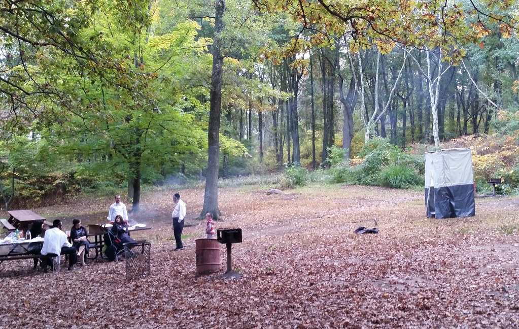
These folks brought a portable mini-sukkah with them so they could celebrate Sukkot while picnicking in Clove Lakes Park. Here's a closer look at the sukkah; I think it might be one of these models.
Walking through Clove Lakes Park in the dark, it was kind of surreal to come across this group of women and their perky leader working out with drumsticks to Rage Against the Machine's "Killing in the Name". Apparently this workout is called Pound; here's a news video about it in which one of its creators, referring to the date rape drug, describes it as "the roofie of workouts".

As you can see, work has begun on a multi-year project to build a new roadway through the arch of the Bayonne Bridge, 64 feet above the current one. When the higher roadway is in place and the lower one removed, the bridge will no longer be a navigational obstacle to the jumbo-size container ships that are expected to proliferate once the expansion of the Panama Canal is completed in 2016 or so. (One statistic that puts the importance of this project in perspective: some 12 percent of all international shipping containers in the US pass beneath the Bayonne Bridge on their way to Newark Bay.) The Port Authority has a plan to keep the bridge mostly open to vehicle (though not pedestrian) traffic during construction.

That heap of metal is what's left of a passenger waiting shelter at the old Elm Park station on the abandoned North Shore rail line. The shelter looked considerably more shelter-like not long ago, although it was mostly hidden by foliage when we looked down on the station from the other direction back in July of 2013. As you can see, the parts of the platforms that were visible then have since been removed, and the area where they stood, beyond the chain-link fence, has been cleared, perhaps for use in the big construction project happening on the Bayonne Bridge (that's the approach to the bridge rising in the background).

This is only the second ripe fig I've found this year! If this were one of the previous two years, I'd have eaten a million of them by now, but this year's crop is pretty puny. It seems that the harshness of the preceding winter is to blame. A few months ago, lots of people were fretting that their trees had died, but I think in many cases the trees simply didn't start producing leaves and figs until much later in the year than normal. I'm seeing a good number of figs growing at this point; it's just that most of them are not even close to ripe, and I can't imagine they're going to get there before the weather turns cold again.

