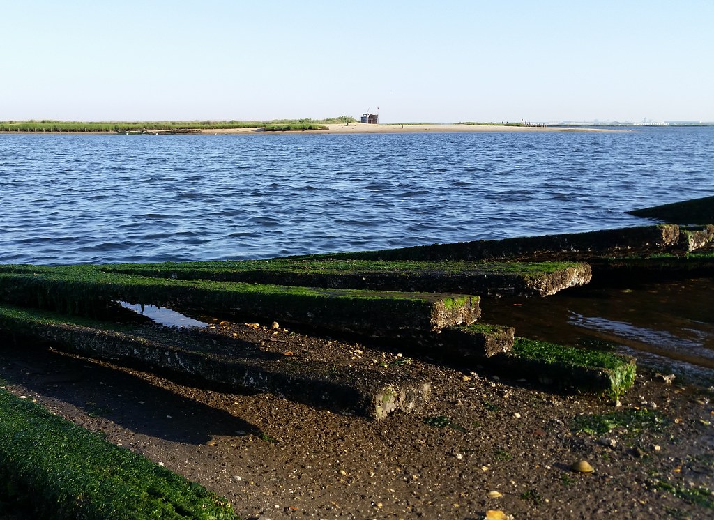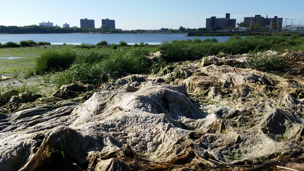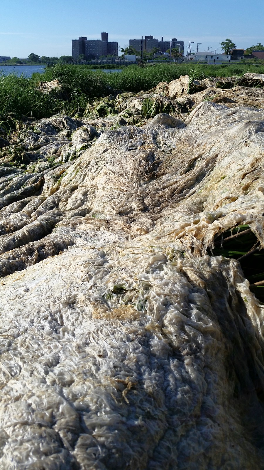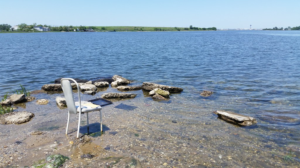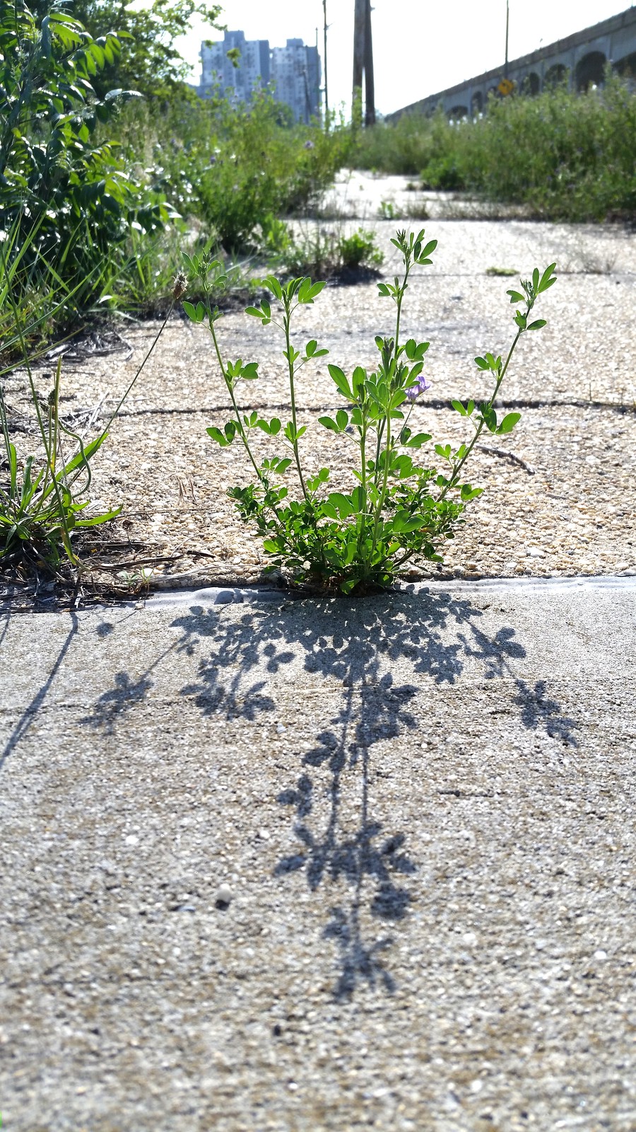

I'm standing at the edge of Rockaway Community Park, looking out across Sommerville Basin at Dubos Point Wildlife Sanctuary.
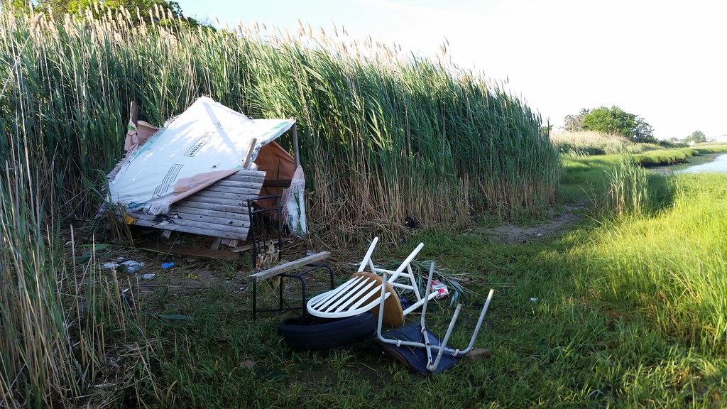
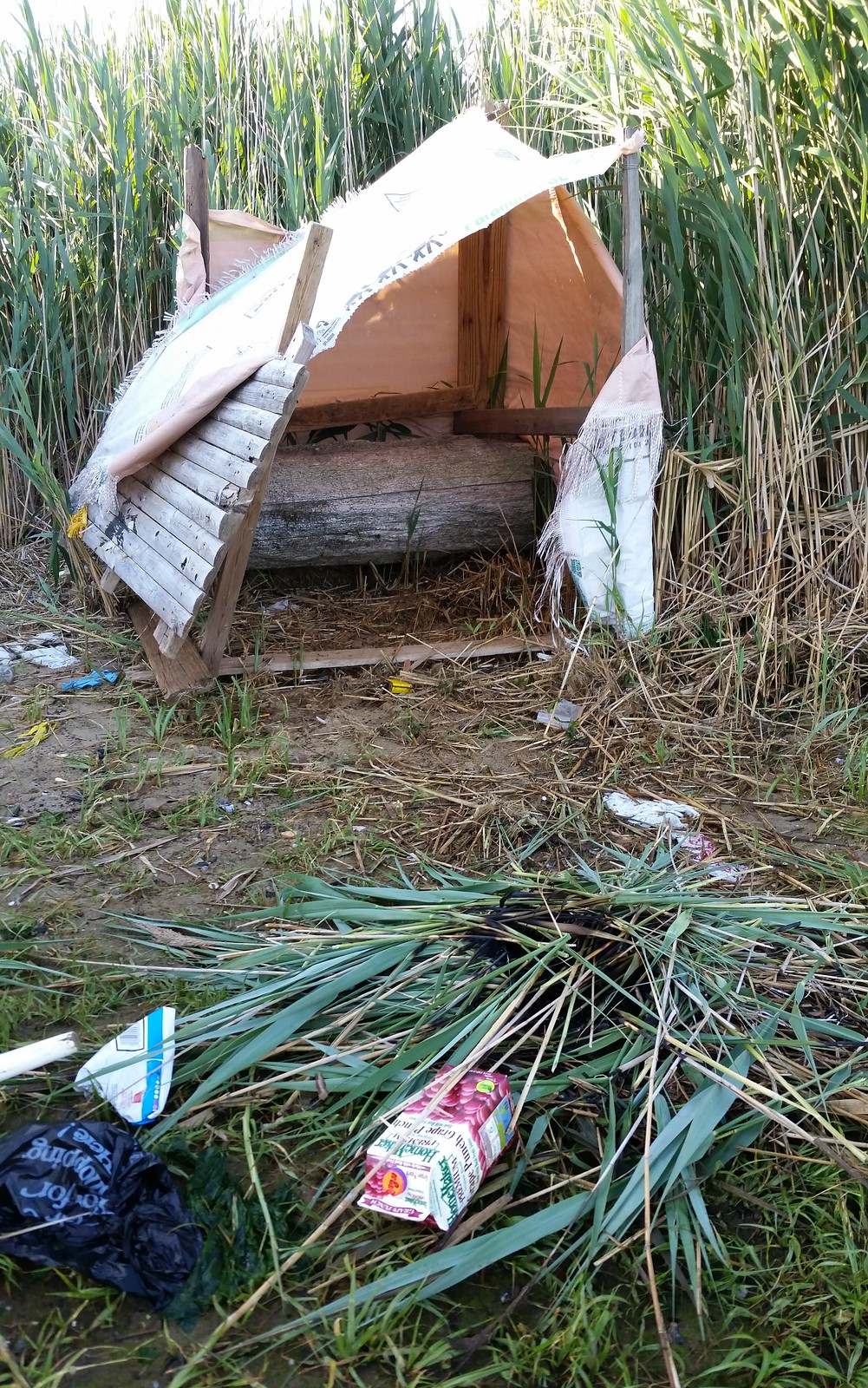
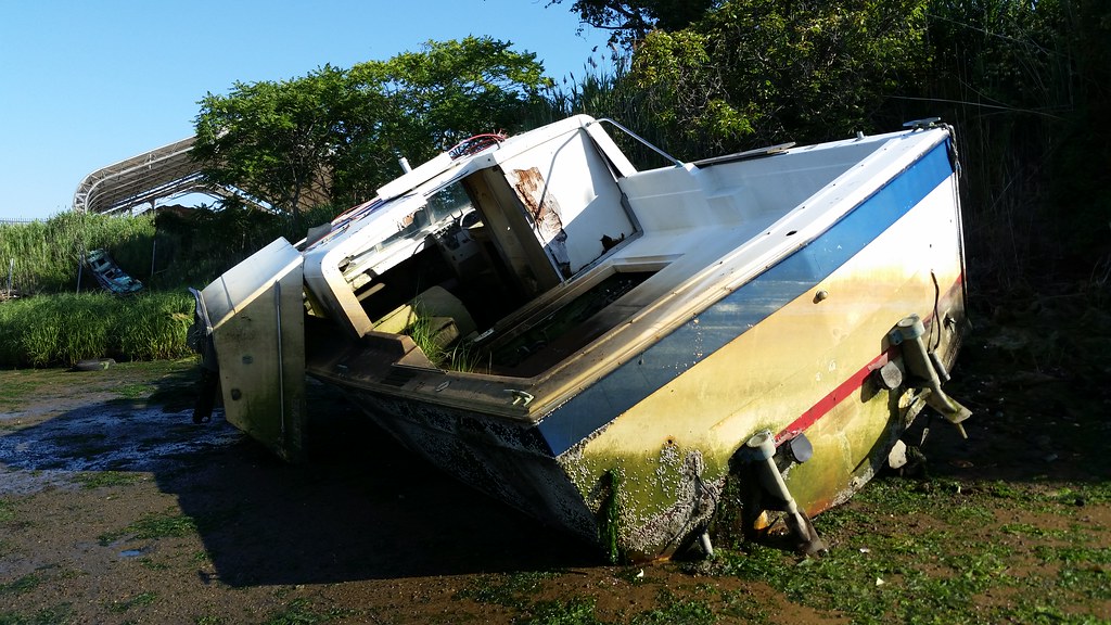
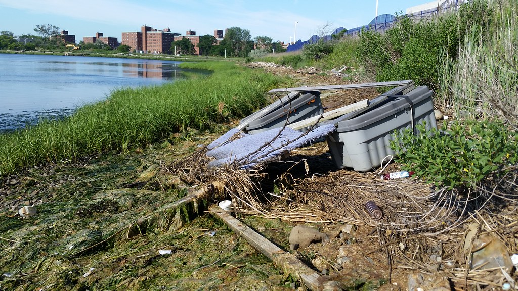
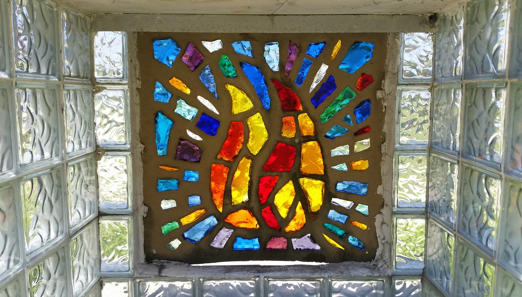
at Rockaway Community Park. This one was not built as sturdily as some other such structures we've come across.
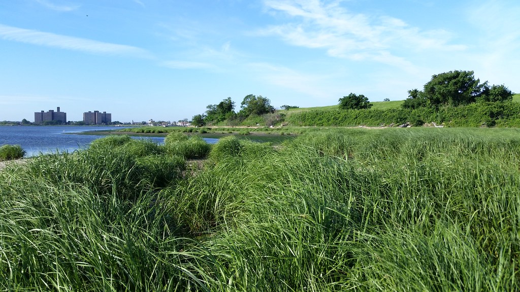
Despite its name, only a small portion of Rockaway Community Park is open to the parkgoing community. The bulk of this peninsular park consists of the old Edgemere Landfill (aerial view) — the large grassy hill at right — which "was the longest continuously operating dump in the United States and perhaps the oldest" when it was finally closed in 1991. (Fresh Kills was the only city landfill still in operation when Edgemere shut down.) It sounds like it will still be at least a few more years before the site is opened to the public.
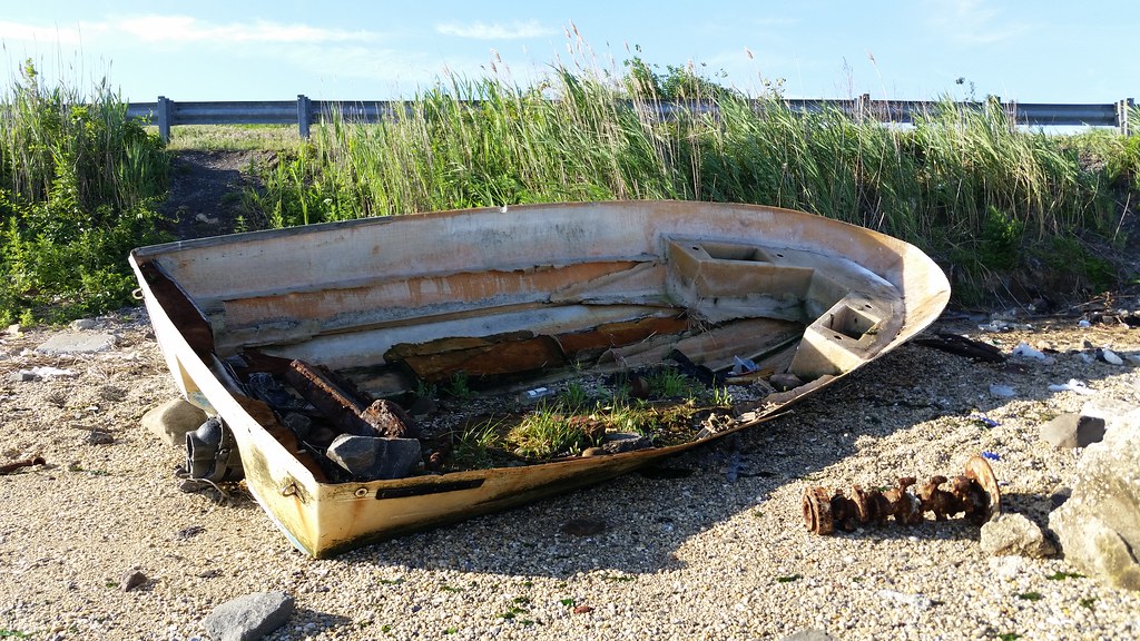
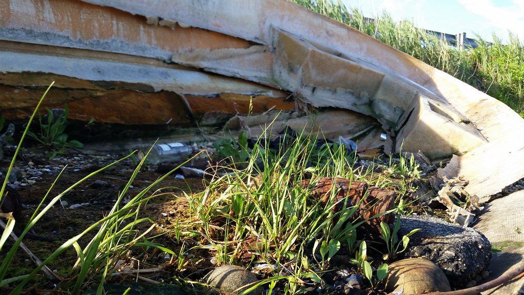
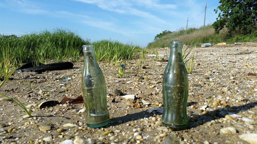
The tide was low when I walked the perimeter of the peninsula today. I saw several old bottles that presumably came from the landfill, but nothing like the profusion of bottles and other garbage — "exponentially more intense than anything found at the breached landfill of Dead Horse Bay" — that Nathan Kensinger encountered when he walked the same area in 2010.
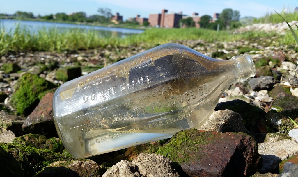
"The Aristocrat of Vinegars" — another presumed escapee from the Edgemere Landfill
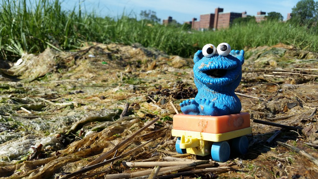
A young Cookie Monster soaks up the sun on the shore of Conch Basin (a.k.a. Little Bay) by the old Edgemere Landfill.
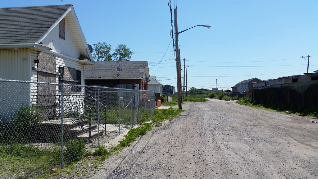
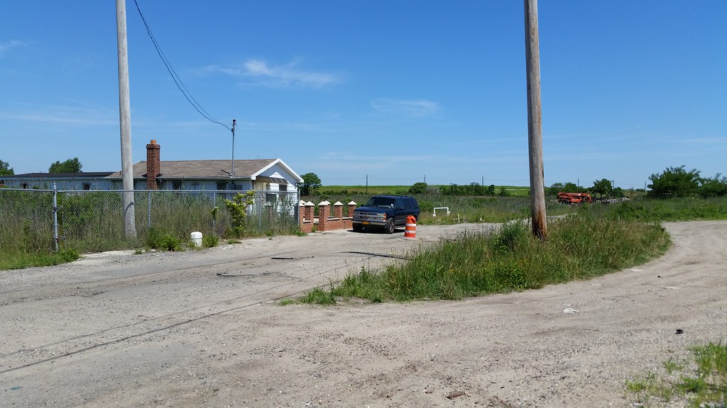
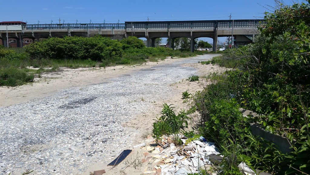
These gravel roads in northern Edgemere were once paved, and were more populated as well. Compare aerial images from 1924 and 2012 to see how many houses have disappeared over the years.
The green hill in the background of the image above (zoom in) is the old Edgemere Landfill.
UPDATE: The streets have been paved again! Check out these before-and-after aerial views: April 2015 and June 2016.
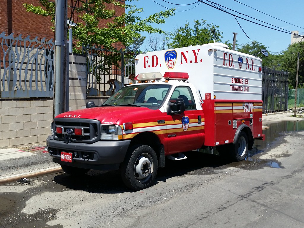
The FDNY has five Thawing Unit trucks, one per borough. The trucks generate high-pressure steam that is used in the winter to thaw frozen hydrants and to keep important equipment free of ice during firefighting operations.
The fence beside the truck, enclosing a patio area outside the Engine 265/Ladder 121/Battalion 47/EMS 47 firehouse, is Jane Greengold's Best on the Beach. This work
consists of six sections depicting large waves, which represent the Atlantic Ocean to the South, and smaller, gentler waves symbolizing Jamaica Bay to the North. Inspired by the innovative decision by Engine 265 and Ladder 121 to equip their facility with surfboards for water rescues, Greengold chose to represent a surfboard and also incorporate the motto of the local firefighters, "Best on the beach," into the fence design. Greengold integrated yet another aspect of the surrounding environment into this permanent public piece by attaching steel seagulls to the top of the fence.(We've previously taken a look at the old bell from 1897 on display in front of this firehouse.)

Edgemere Farm and The Healing Garden @ Far Rock Farm share about an acre of land here.
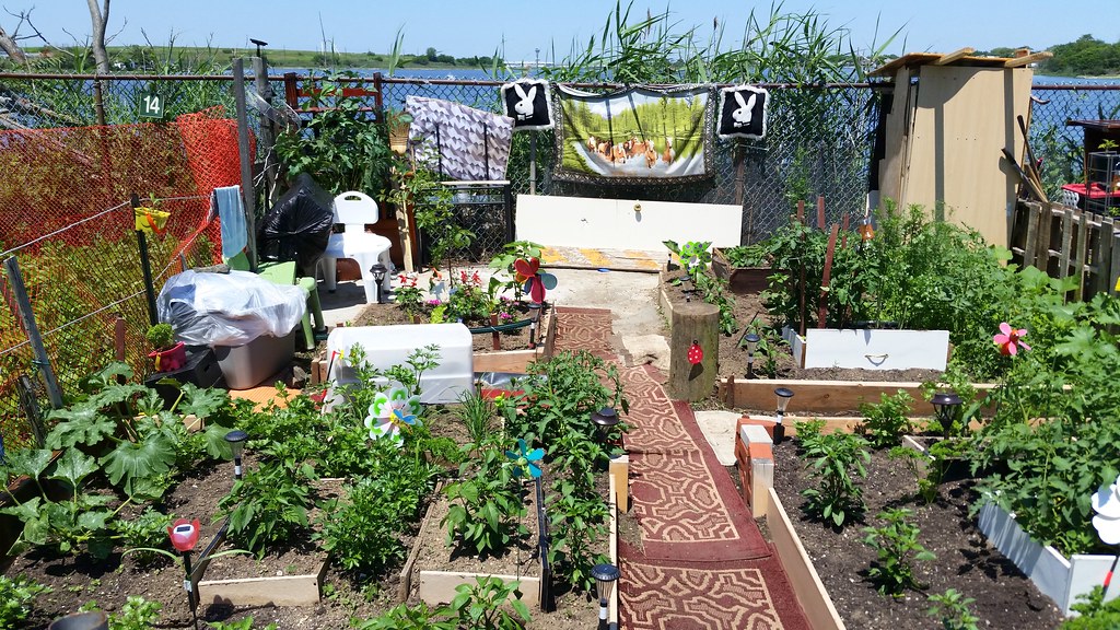
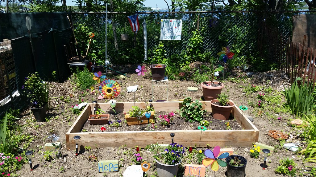
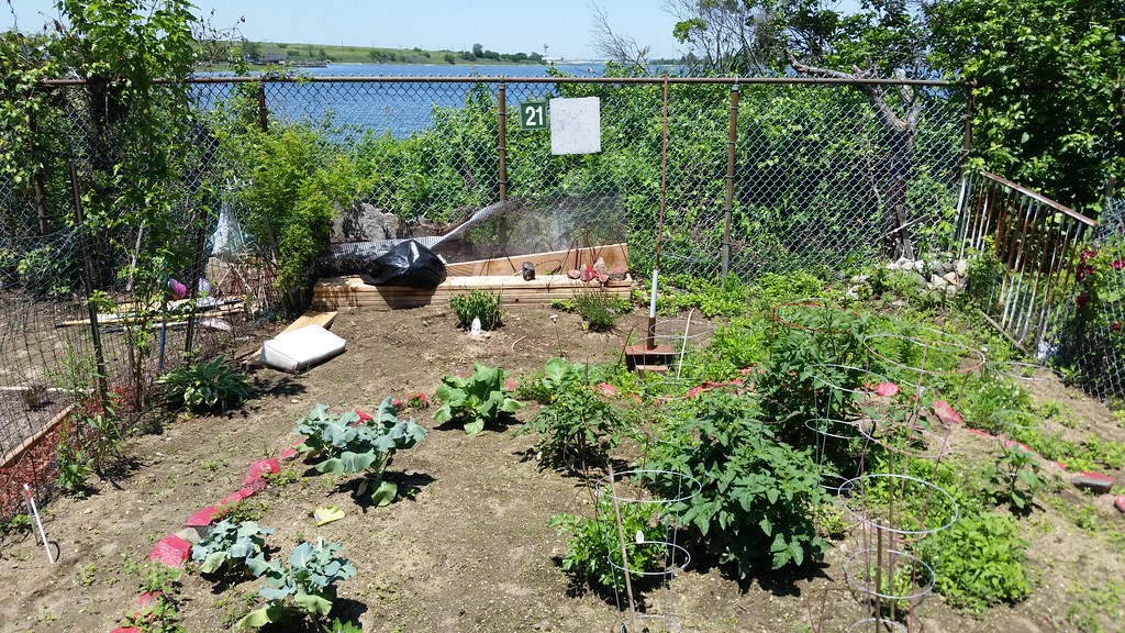
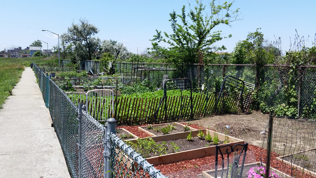
Located behind the Beach 41st Street Houses, this garden consists of 30 plots running along the shoreline of Jamaica Bay's Norton Basin.
Visible in the background of the top three photos, to varying degrees, are the old Edgemere Landfill (at left) and JFK Airport's control tower (center; zoom in).
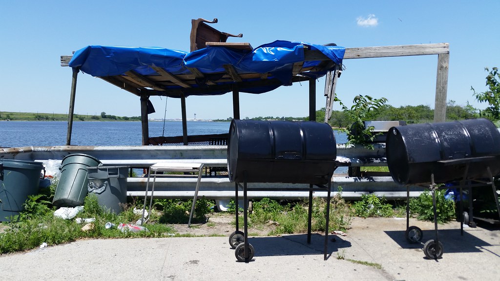
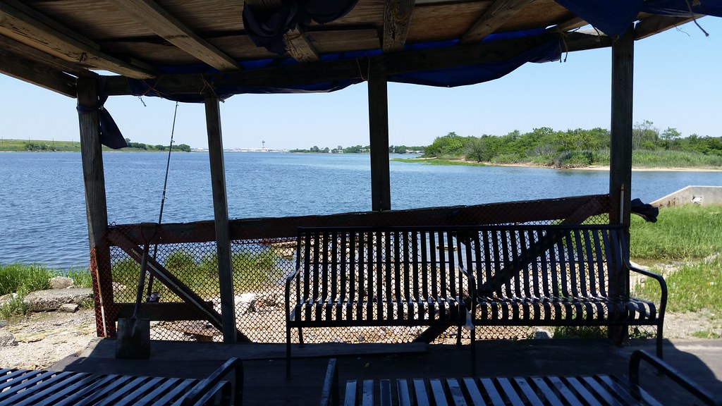
Just east of the Beach 41st Street Houses, a couple of barrel grills and a roughly fashioned waterside shelter with ample seating can be found on the shore of Norton Basin.
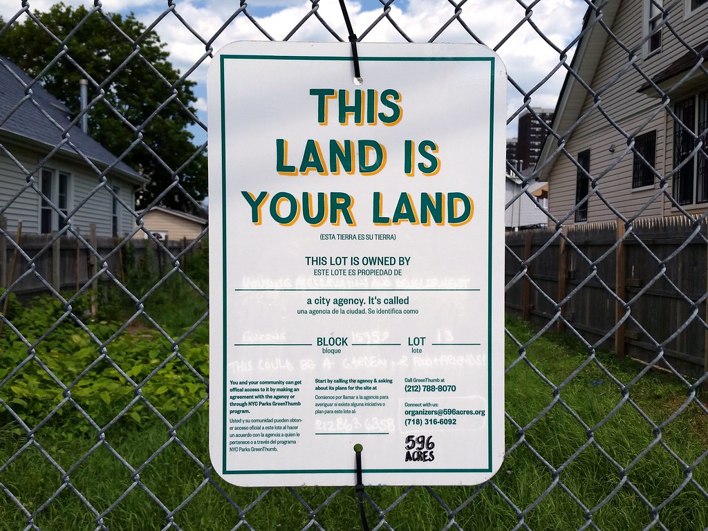
596 Acres (whose signs are much fancier than they used to be) is an organization that identifies vacant city-owned lots and encourages neighborhood residents to get permission from the city to turn the lots into community gardens and other kinds of public spaces. Check out this interactive map of all the vacant city land in the five boroughs; here's more info on the particular property pictured above.

Looks like she was here last summer as well. I'm not sure what the appeal of this spot is, though. Take a look around in Street View and see for yourself.

Do yourself a favor and visit this guy's website.
The twinkling stars and mishmash of fonts and colors on the mile-long home page are just the beginning. Here are some favorite excerpts:
From the "How To Order" page (which makes no mention of a price):
• No Pay Pal yet - have to meet up - or make other arrangements -From the "Stock Picks" page:
• Can meet at the local Wifi - Starbucks, Panera Bread
• Can preview DVD on any computer - Runs off disc
Can Also Throw In a Copy of My "Classic Rock" Collection - MP3's
• Eric Clapton, Jimi Hendrix, Janis Joplin, Bob Marley, ELO, Duran Duran, The Clash, The Cars, Supertramp, Tom Petty, Midnight Oil, Billy Idol, Black Crows, Bee Gees, Nirvana, Santana -
• ALL the GOOD Music You Like to hear - With a special emphasis on the stuff you don't hear all the time
• 7 Gigabits - Transfered via Flash Drive (only place it fits)
Non Stock Trading Related Skills:From the "Smart Phone Use" page:
• Graphic Design / Desktop Publishing - and some Web Design:
Can make good basic flyers with eye catching graphics (and / or pics) and generate appropriate text that shows and sells.
• Results in a superb quality flyer that is eye catching and informative.
• Can do whole job start to finish.
• Then can put the whole thing up in cyberspace and make a website.
• Have Dreamweaver program and can make good basic multipage websites that an attorney would use, or a small company, complete with email link and all (and "meta search keywords" so search engines can find).
Investors Wanted - For Inventions - Have Prototypes:
Single Wheel Bicycle Trailer
3 Timely Cell Phone Related Products:
• The first is call The Phone Sock
• The second is called the Phone Sack
• The third is called the Phone Pocket
IF / When Inquiring About My Inventions:
- Please don't ask me to send a pic
- Please don't inquire about patents - My people say not to talk about it
Also Keep In Mind: Personal and Professional Image: - The way you interact with people with your Smart Phone says a lot about your intelligence level (or lack of) - and how "Modern" you are (or "Stuck in the Ice Age / 19th Century / Horse and Buggy days"). Can convey "With It" - or "Hopeless". Like it or not, people will formulate opinions about you based on how you sends emails and stuff - IF you're Not good at, be careful how you interact - especially professionally.
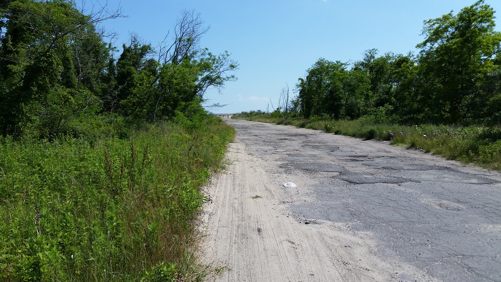
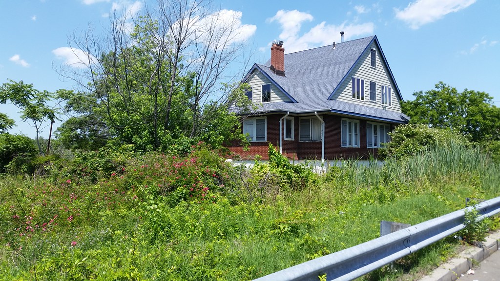
Take a look at this aerial image of the Rockaways and you'll notice a curious sight in southern Edgemere: a vacant, wild swath of land stretching more than a mile along the ocean from Beach 32nd Street to Beach 56th Place. You might think it was some kind of nature preserve if it weren't for all the streets running through it.
As you can see in this 1924 aerial image, these now-crumbling streets were once lined with houses — hundreds of tightly packed bungalows and some much more spacious homes as well. But by the 1960s, many of the dwellings had fallen into disrepair and were being used to house poor families on welfare. In the name of urban renewal, the city decided to level almost every building in the area, as well as in an adjacent section to the west, and replace the old structures with new residential developments.
Demolition began around 1969. But after the land was cleared, with nearly 4,000 buildings razed, the renewal part of the plan hit a snag. The only residences erected during the remainder of the 20th century were two apartment complexes, one of which was partially located outside the renewal area, and three two-family houses. The western portion of the renewal area, in Arverne, finally began to be developed around 2001, but the tract in Edgemere — now called Arverne East — remains empty, save for one school, PS 106, that predated the demolition.
While designs have been put forth for Arverne East and there is talk of imminent construction, I wouldn't be surprised, given the site's history, if this accidental mini-wilderness manages to hang on, at least in part, for some time to come.
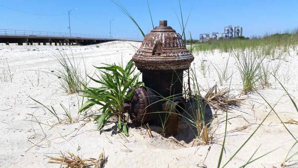
While southern Edgemere may have perished many years ago, its skeleton — the neighborhood's infrastructure — remains. The flesh is gone, but the streets, hydrants, and storm drains linger on.
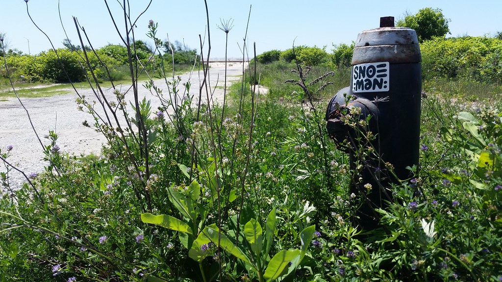
More remnants of southern Edgemere, today's Arverne East
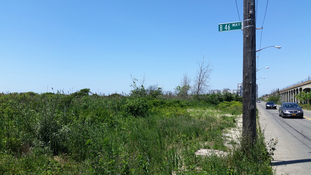
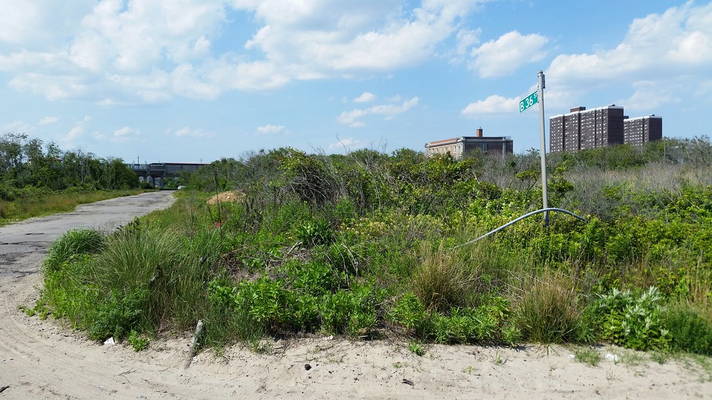
While the old streets of southern Edgemere are still mostly in existence, there were several pathways, running between rows of bungalows, that have now vanished, their former locations marked only by street signs.
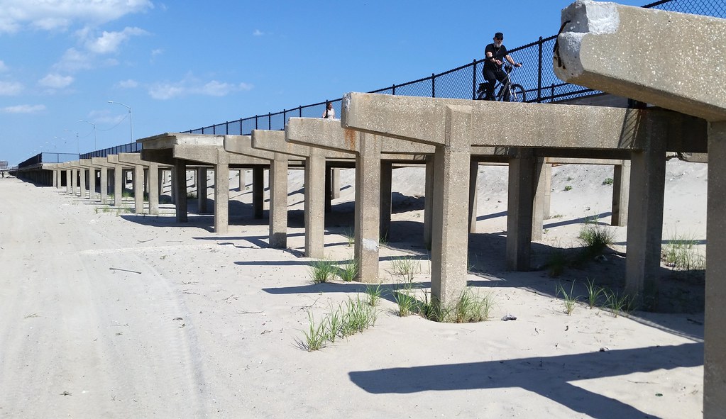
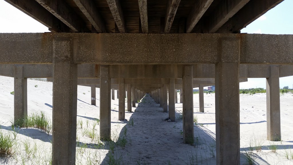
The five-mile-long Rockaway Boardwalk sustained major damage during Hurricane Sandy. This section at the southern edge of Arverne East, between Beach 35th and Beach 39th Streets, is still awaiting replacement. In the meantime, a 12-foot-wide mini-boardwalk has been installed to connect the full-width (40-foot-wide) sections at either end.

The people have left southern Edgemere, but the rain keeps coming.
(What are all those paint dots?)
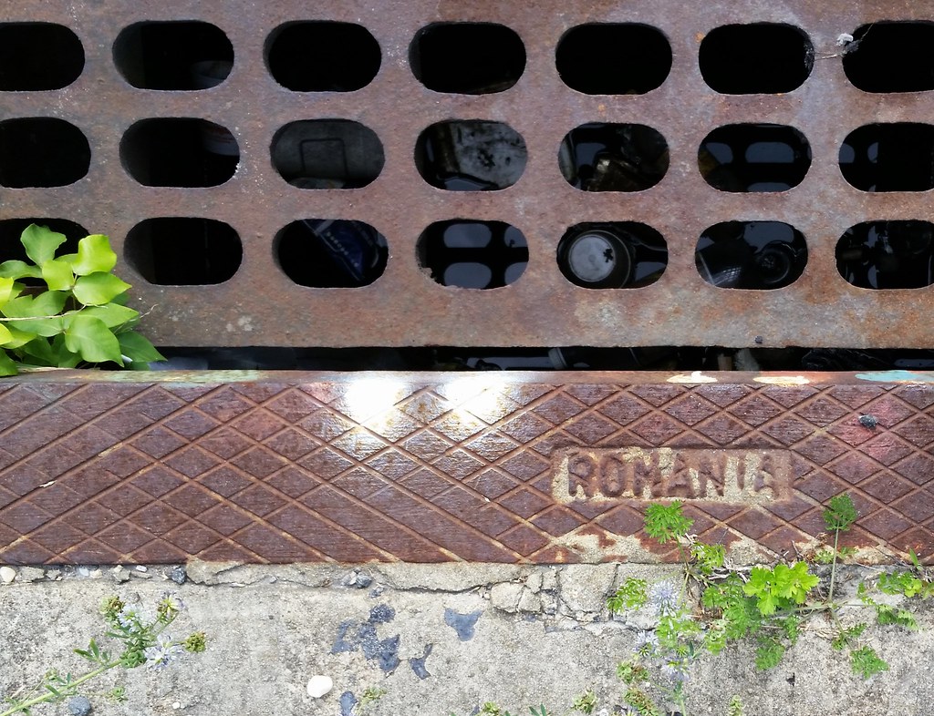
Looks like the illustrious International Foundry Society of New York has a new member — its first from outside Asia! I've previously seen manhole covers from India and China and fire hydrant bollards from Thailand.
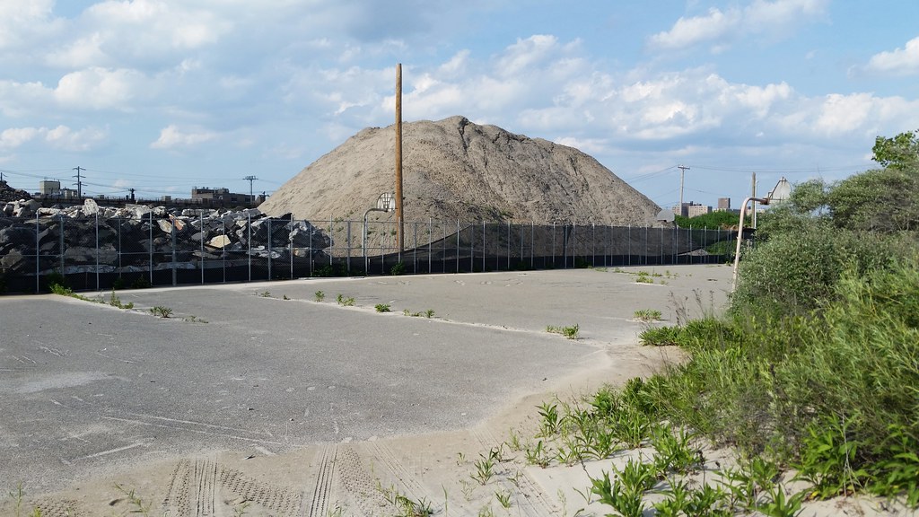
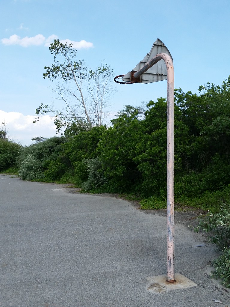
As far as I can tell, this 2.5-acre expanse of asphalt was originally a parking lot situated among the bungalows of southern Edgemere. The neighborhood was leveled around 1969, and the blacktop was rededicated to recreational uses sometime between 1980 and 1994 (better image from 1996), hence the old basketball hoops. These days, the majority of the lot appears to be devoted to the storage of massive piles of sand and demolition debris.
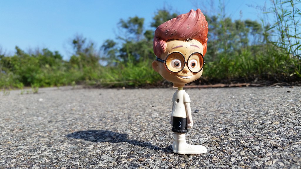
Remember Sherman, of Mr. Peabody and Sherman, from the old Rocky and Bullwinkle cartoons? This is what he looks like now.
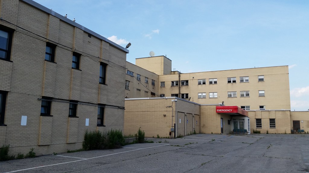
There's only been one hospital on the Rockaway Peninsula since this one closed in 2012.
UPDATE (Sept. 22, 2016): This hospital is now being demolished. The owners of the property intend to replace it with "multi-family housing and commercial buildings".
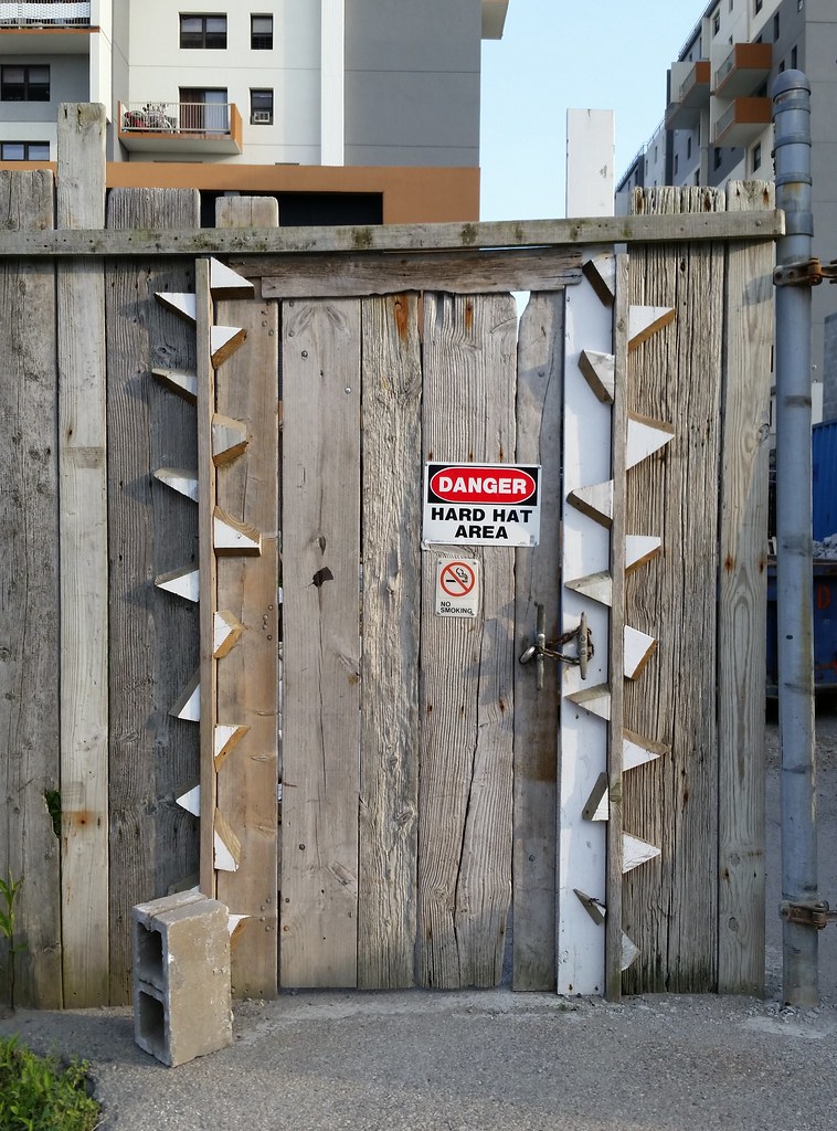
UPDATE: Since I passed by, renovations have been completed on the former Engine 265/Ladder 121 firehouse, just out of frame to the right. The building is now home to the Rockaway Institute for a Sustainable Environment.
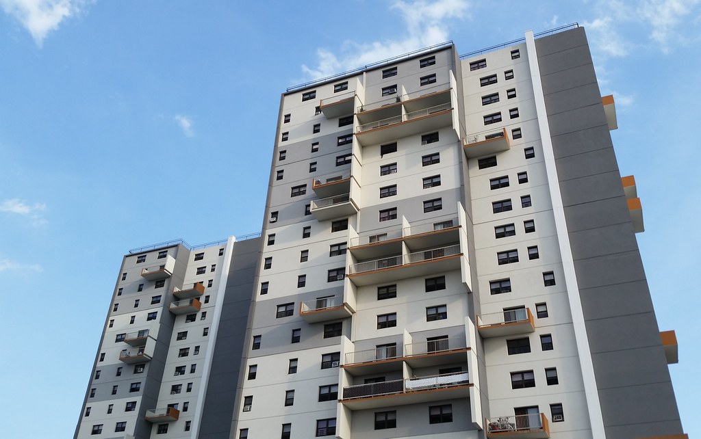
These two 19-story towers are the tallest of the eleven buildings in the Arverne View apartment complex. Originally called Ocean Village when it was erected in the 1970s, this affordable housing development was one of the very few construction projects completed on the vast and vacant urban renewal lands of Arverne and Edgemere prior to 2001. In the aftermath of Hurricane Sandy, the new owners of Ocean Village began a full renovation of the troubled, run-down complex — hence the much cheerier facades — and renamed the place Arverne View.
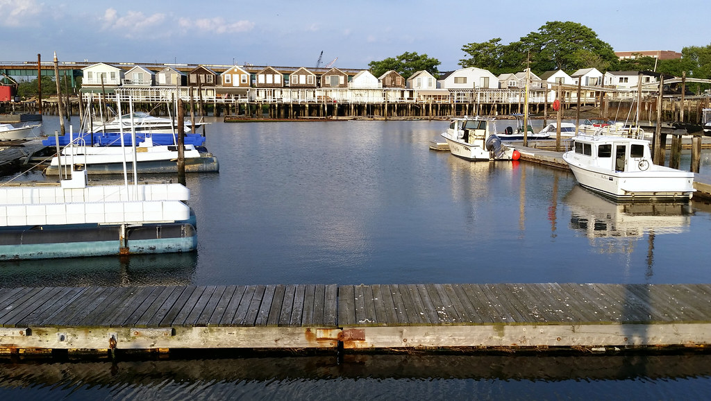
After finishing my walk today, I headed over to where Beach 86th Street terminates at Jamaica Bay. I climbed out on the nearby jetty to get a good look at this row of old bungalows built on a pier over the water at the northern end of Beach 84th Street. Because of how the houses are lined up, they're mostly obscured from view on Beach 84th Street; in fact, I didn't even realize they were there when I walked the street. I only discovered them afterward while looking at aerial photos of the area. As we learned back then:
These unusual houses, apparently more than a century old, were in the news back in 2008 when the state passed a law allowing the city to sell the pier to the homeowners who lived atop it. A few years later, the artist Duke Riley featured the bungalows in one of the stained-glass pieces he designed for the nearby Beach 98th Street subway station.There are about 16 houses standing on the pier now, but there were once more. I count seven additional houses in aerial images from both 1924 and 1980. (Here's a 2012 view for comparison.) In the 1924 aerial, and even, to a much lesser extent, in this 1996 one, you can also see a number of houses built out on other nearby piers jutting into the bay.
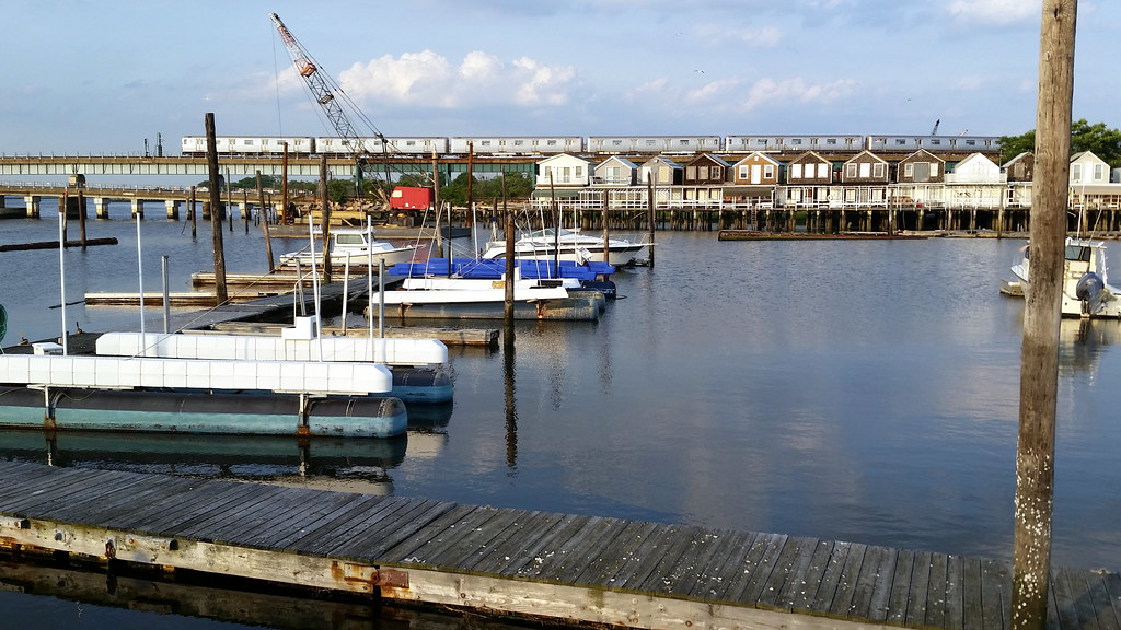
An A train rumbles by in the background.
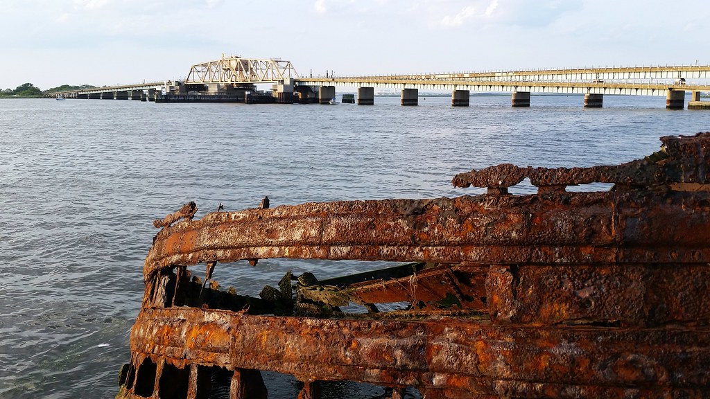
This bridge carries the A train across Beach Channel, which separates the Rockaway Peninsula from a small island in Jamaica Bay that I believe is called Long Bar. The next stop on the A train north of here is Broad Channel, located on the only inhabited island in the bay.

