Along with a few of its comrades, this tree has clawed its way out of a crevice in this rock wall.

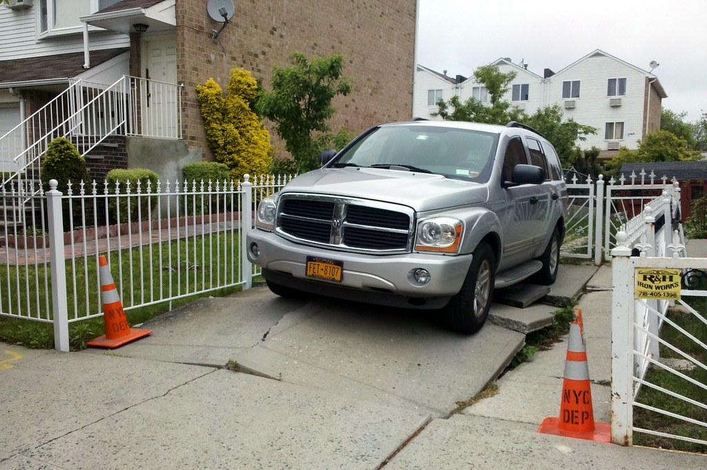
Lustre Street in Eastchester is disappearing, and its street sign is apparently following suit.
There are three streets in the area with related names. Dark Street was the original, named after Charles Darke, a mid-19th-century landowner. Then came Light Street, seemingly a playful take-off. Sometime in the 1920s, part of Dark Street was renamed Lustre Street, and has since all but vanished, hidden beneath houses, lawns, and driveways.
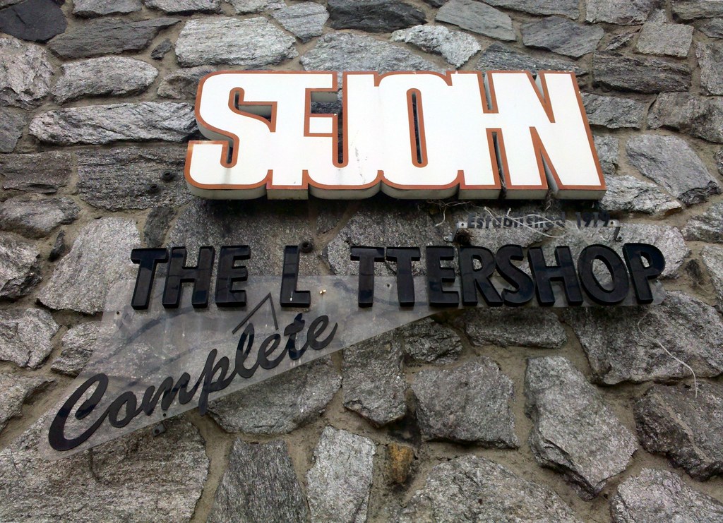
A mysterious trace of the past on a mysterious wall. There's also an ornate pillar in the wall bearing the name "DF Violet".
Generally filled with food, clothing, and household items, and often representing months of thrifty purchases, these barrels are sent to relatives back home throughout the year, but especially around Christmastime.
I've seen a handful of these signs around the borough and have always wondered what they mean. And now I know!
An oddball block-long remnant of the first postal route between New York and Boston, inaugurated in 1673

Nikita Khrushchev once wrote this school a letter to be included in its 1959-1960 yearbook, but the Department of Education vetoed its publication. Sousa has been troubled in the years since, and is no stranger to the DOE's list of failing schools. It's had its bright spots though, including an unusual 7 AM Korean class, and it seemed to be headed in the right direction as recently as six months ago. But in a meeting at the end of April, a DOE panel voted to close the school, along with 23 others across the city that have been struggling.

This was once the site of the Jerome Park Racetrack (built by our buddy Leonard Jerome), which hosted the Belmont Stakes from 1867 (its inaugural running) to 1889.
The city bought and condemned the racetrack to make way for this reservoir, completed in 1905 and filled with water from the New Croton Aqueduct, which, despite its name, is the oldest aqueduct still part of NYC's water supply system. The reservoir has been used only sparingly since 2008, when the New Croton system temporarily went offline pending the completion of a water treatment plant, but it's expected to be back in action within a year or so, when the aqueduct is reactivated.
Its site chosen by General George Washington for the strategic vantage point it provided, Fort Independence was built by the Americans in 1776 and then destroyed a couple of times as it changed hands during the course of the Revolutionary War.

That's an old New York and Putnam Railroad bridge, now used as part of a hiking trail, in the background.

