


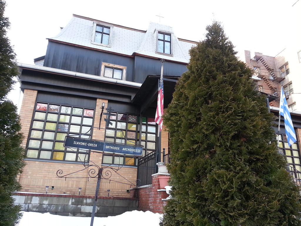
I wonder how many members there are; the entire island of Kasos (satellite view) only has about 1000 residents.
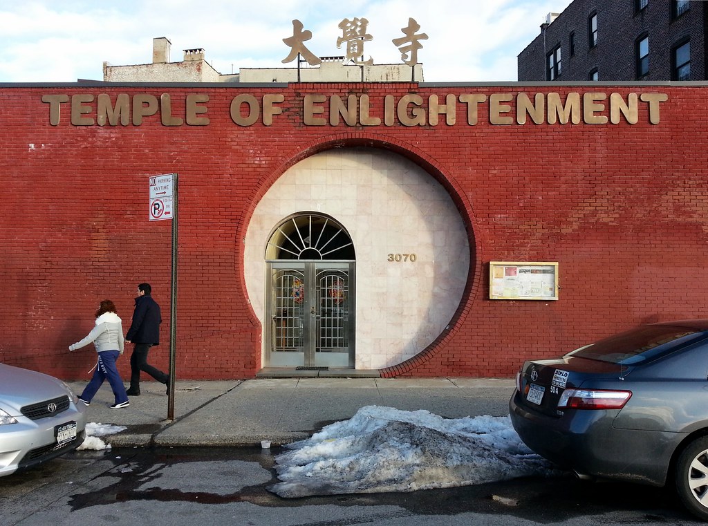
This Buddhist temple is housed in an old telephone company office.


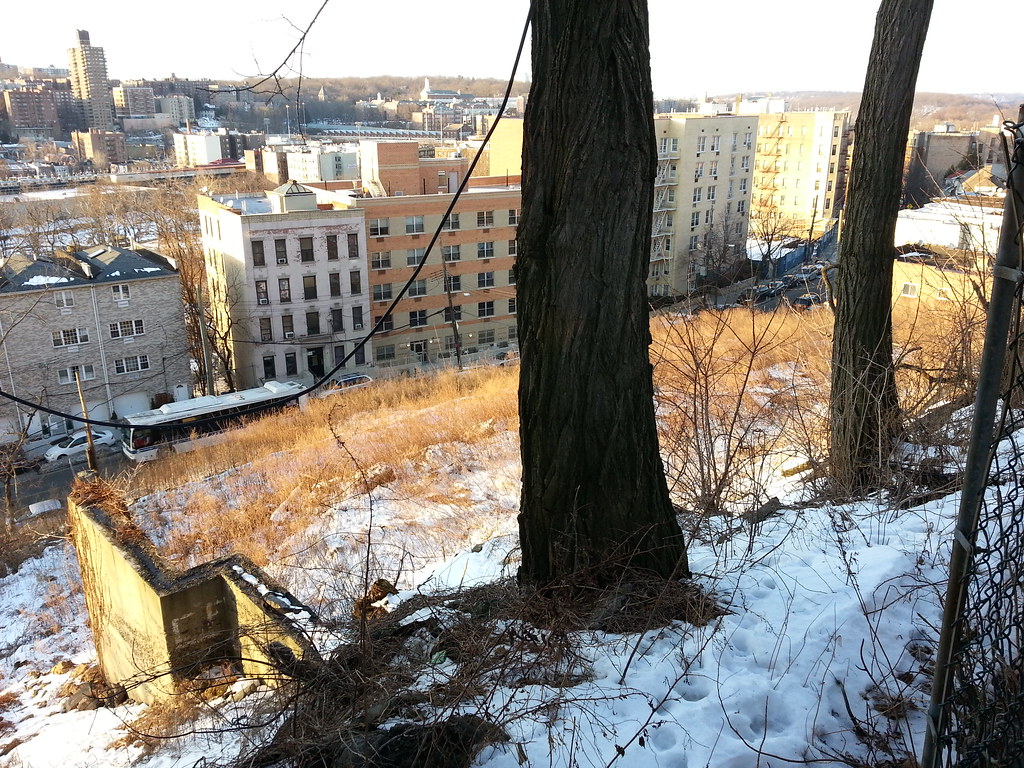
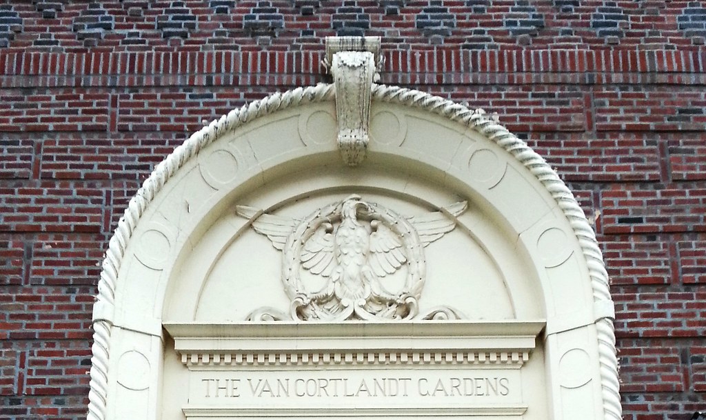
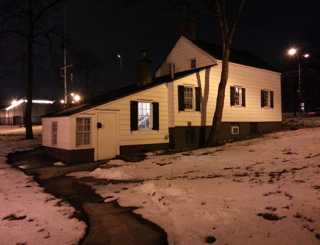
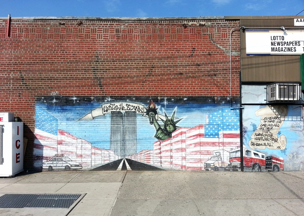
We've been by this park before. What I didn't know at the time is that its creation (page 9) followed a rather sizeable discovery of Revolutionary War relics in the neighborhood by a group of unlikely archaeologists. As our friend Reginald Pelham Bolton tells it:
One day in May, 1915, a party of boys led by Bradshaw Thurston, James Knowles, H.G. Somers, and others, resident in the vicinity, were fired with the idea of mimic warfare, and were engaged in constructing a small trench, at the head of Cannon Place, to the east of the site of Fort Independence, when their spades disturbed a cannon ball, soon succeeded by a number of other shot, until their work led them into a mass of about five hundred solid and hollow shot and bombs buried below the soil in a tangled and rusted heap. . . .
The deposit evidently consisted of materials hastily abandoned by the Pennsylvania Regiment, commanded by Colonel John Lasher, who on October 27, 1776, on receipt of orders from General Washington, destroyed the barracks and abandoned the fort and its equipment, in advance of the arrival of the Hessian army moving in from Westchester county, against Fort Washington and its exterior defenses.
The location of the find in the rear of the effort seems to indicate that the shots were thrown under some building or tumbled into a cess-pit, and were thereafter undiscovered by the Hessian and British occupants of the fort.
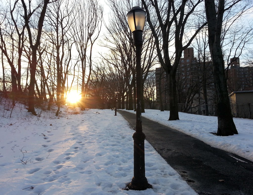
Whoops! Thought this was a new one, but it turns out we've been here before.
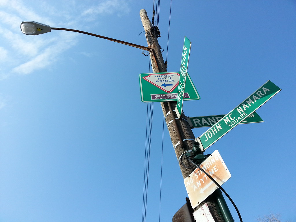
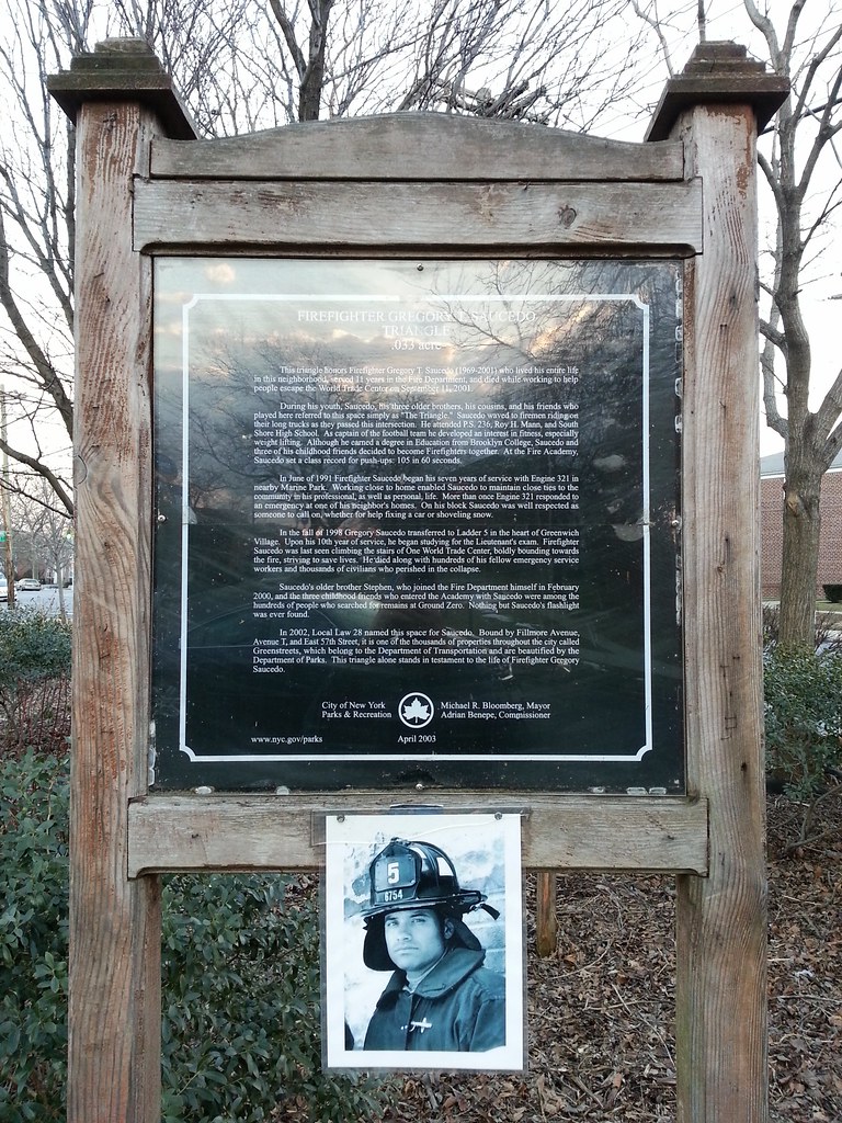
This is a fitting tribute to the Sage of the Bronx, whose 1978 book History in Asphalt explains the origin of every street name in the borough, and whose interest in such matters was piqued by the street signs that started to appear around the Bronx in the 1920s when he was a kid. "I wondered where they came from, those names", he once told a reporter for the NY Times.
The City Council approved the naming of this little parklet in 1985, making Mr. McNamara, who died in 2004, one of the few New Yorkers to be honored in this way while still alive. After all, who else could so fully appreciate seeing his name on a street sign? Here are two photos from the Sage's last visit to his namesake square, just a couple of weeks before he passed away.
(As far as I know, this had nothing to do with anything, but it seems appropriate that Mr. McNamara's square should be adjacent to Randall Avenue, which calls to mind — though is not named for — another great Bronx historian: Randall Comfort.)

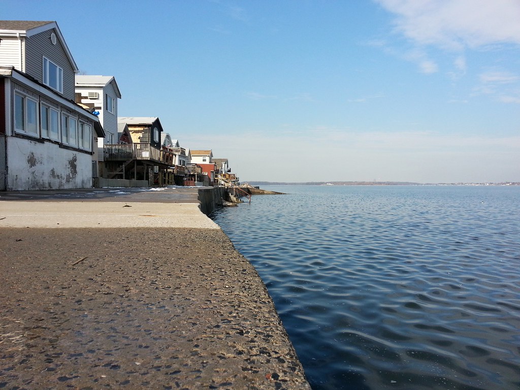
Here we are once again on the narrow, winding streets of this bayside Bronx neighborhood that first began to take shape in the 1920s as a summer resort community of tents and other makeshift dwellings. As the NY Times tells it:
In 1923, when Richard W. Shaw Sr., the first of four generations of Shaw landlords, bought the property, only one house stood out: a great stone mansion that overlooked pastures, swamps and, of course, the water.
During the summer he permitted church groups, Boy Scouts and, later, workers from New York City to pitch tents or build rustic cottages on what became known as Edgewater Camp.
"As kids, we'd go see cows grazing and then go down to the farmhouses nearby and steal tomatoes and squash," said John McNamara, a 72-year-old Bronx historian and former Edgewater resident, who recalls lazy summers of courting schoolgirls in canoes and walking three miles to the nearest trolley into town.
"We lived in wooden-sided tents with canvas tops," he said. "We had no electricity, just kerosene stoves. It was a real pioneer community."
In the 1930's, the Great Depression forced many of the summer residents to sell their homes in the city. They winterized their Edgewater bungalows with newspapers, cardboard boxes and other crude insulation. A permanent community was born.
For all its scenic beauty, Edgewater is a planner's nightmare, with neither building codes nor zoning laws. Fire hydrants sprout in backyards, a reminder of how the early residents simply ignored the street grid the city had planned for them.
The result is a jumble of 675 single-family houses shoehorned into 55 acres of land, elbowing one another on 30-by-50-foot plots.
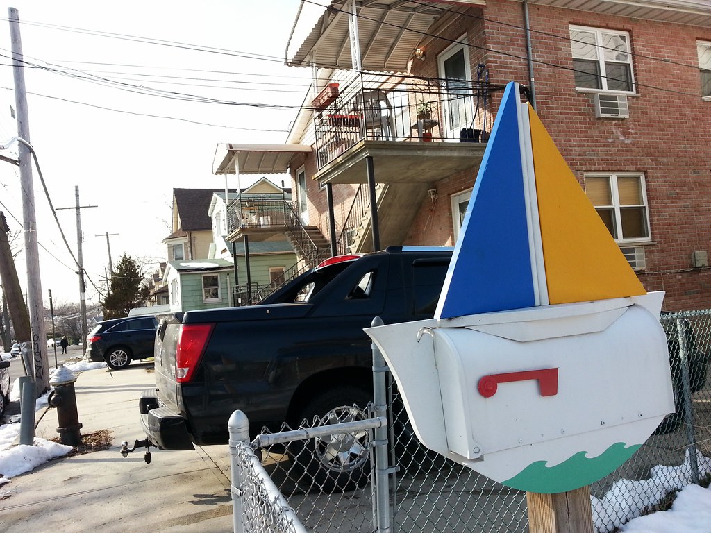
Wait, isn't the awesome mailbox count up in the 70s?
It is indeed, but this mailbox is replacing the former #56, which is no longer awesome. Details here!
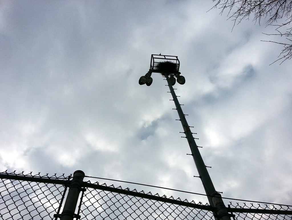
And a parrot! (It's sitting on top of the railing above the nest.) Brooklyn is more famous for its little green Quakers, but there are plenty up here in the Bronx, too. This nest in the Throggs Neck Houses (two g's!) is located almost two miles from the known parrot stronghold of Pelham Bay Park.
UPDATE: It turns out that wild parrots have been living in Throggs Neck for some time. Their main colony in the area is about three-quarters of a mile away at the Little League ball fields.
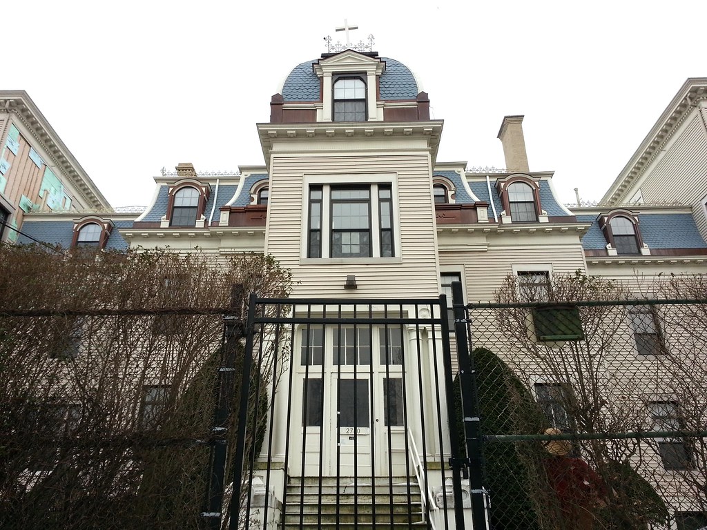
This Catholic girls' school building was originally Beau Rivage, the summer home of sugar magnate Frederick C. Havemeyer Jr.

It's all free!
(No info posted yet about Earl's upcoming Sweet 68 party.)

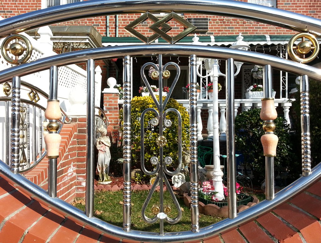
Things are getting a little unorthodox here in Brooklyn. Look at those pinkish stone knobs! This is the first example of Queens chrome I've seen with a non-metallic element thrown into the mix.


Brooklyn's Kings Plaza mall (claim to fame: it was the home of Sbarro's first — but certainly not its last — mall-based restaurant) has its own marina out back, and it was this very marina that served as the launching point for one of Brooklyn's great modern-day nautical voyages.
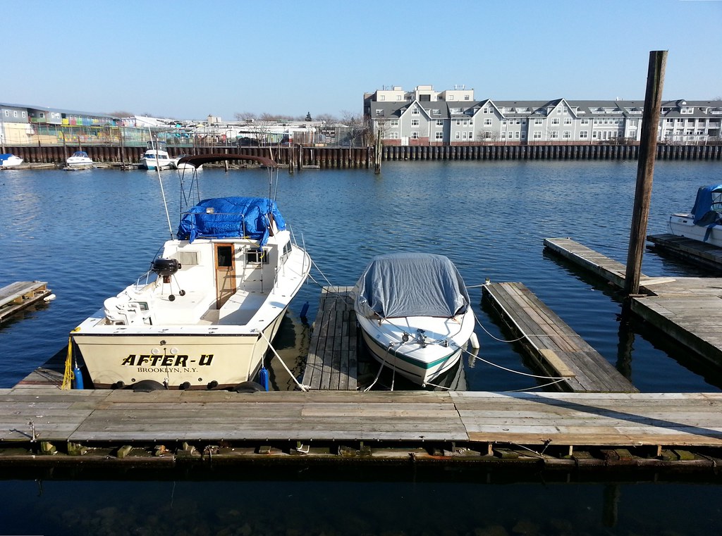
As we well know, marinas are a fecund breeding ground for bad puns and other linguistic abominations. I'd like to defend the seemingly odious txtspk name of this boat, however: if you look at a map, you'll notice that the Kings Plaza Marina is indeed located after (Avenue) U!

Its neighbor across the way ain't too shabby either.


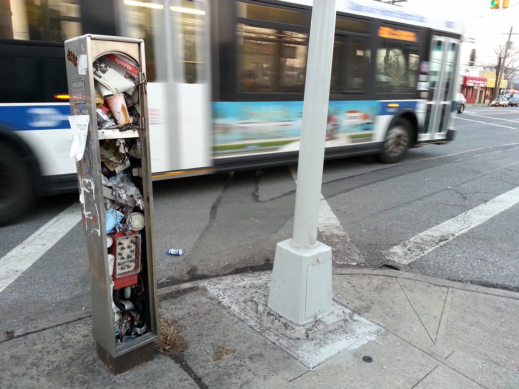
I believe this is the most trash-packed FDNY call box shell I've seen so far.


